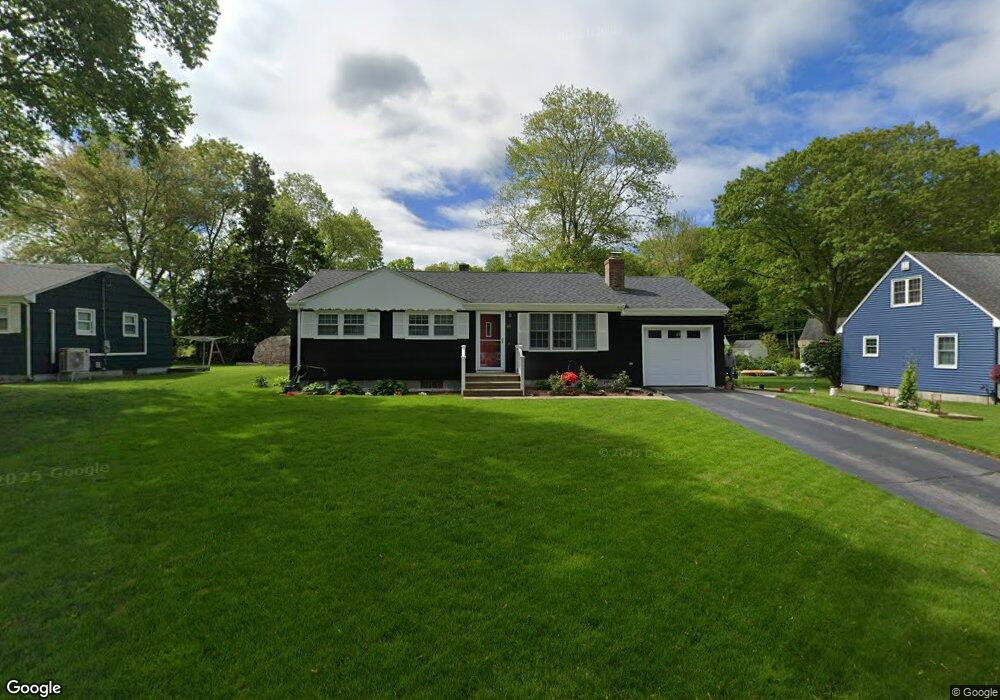
60 Pond Dr North Stonington, CT 06359
Estimated Value: $310,000 - $343,000
3
Beds
2
Baths
888
Sq Ft
$363/Sq Ft
Est. Value
About This Home
This home is located at 60 Pond Dr, North Stonington, CT 06359 and is currently estimated at $322,465, approximately $363 per square foot. 60 Pond Dr is a home located in New London County with nearby schools including North Stonington Elementary School, Wheeler High School, and North Stonington Christian Academy.
Ownership History
Date
Name
Owned For
Owner Type
Purchase Details
Closed on
Nov 9, 2023
Sold by
Bosse Michael A and Bosse Carol F
Bought by
Bosse David M
Current Estimated Value
Purchase Details
Closed on
Oct 31, 1966
Bought by
Bosse Michael A and Bosse Carol
Create a Home Valuation Report for This Property
The Home Valuation Report is an in-depth analysis detailing your home's value as well as a comparison with similar homes in the area
Home Values in the Area
Average Home Value in this Area
Purchase History
| Date | Buyer | Sale Price | Title Company |
|---|---|---|---|
| Bosse David M | -- | None Available | |
| Bosse Michael A | -- | -- |
Source: Public Records
Mortgage History
| Date | Status | Borrower | Loan Amount |
|---|---|---|---|
| Previous Owner | Bosse Michael A | $100,000 | |
| Previous Owner | Bosse Michael A | $23,000 | |
| Previous Owner | Bosse Michael A | $23,000 |
Source: Public Records
Tax History Compared to Growth
Tax History
| Year | Tax Paid | Tax Assessment Tax Assessment Total Assessment is a certain percentage of the fair market value that is determined by local assessors to be the total taxable value of land and additions on the property. | Land | Improvement |
|---|---|---|---|---|
| 2025 | $3,218 | $111,440 | $47,040 | $64,400 |
| 2024 | $3,218 | $111,440 | $47,040 | $64,400 |
| 2023 | $3,231 | $111,440 | $47,040 | $64,400 |
| 2022 | $3,170 | $111,440 | $47,040 | $64,400 |
| 2021 | $3,187 | $111,440 | $47,040 | $64,400 |
| 2020 | $2,794 | $94,710 | $39,480 | $55,230 |
| 2019 | $2,747 | $94,710 | $39,480 | $55,230 |
| 2018 | $2,671 | $94,710 | $39,480 | $55,230 |
| 2017 | $2,557 | $94,710 | $39,480 | $55,230 |
| 2016 | $2,557 | $94,710 | $39,480 | $55,230 |
| 2015 | $2,742 | $105,070 | $42,350 | $62,720 |
| 2014 | $2,716 | $105,070 | $42,350 | $62,720 |
Source: Public Records
Map
Nearby Homes
- 19 Oak Dr
- 20 Providence-Nl Turnpike Unit 14A
- 20 Providence New London Turnpike Unit Lot 19
- 4 Damato Dr
- 135 Stony Brook Rd
- 26 Pinecrest Rd
- 16 N Anguilla Rd
- 587 Taugwonk Rd
- 579 Taugwonk Rd
- 321 N Anguilla Rd
- 11 Meadow Wood Dr
- 550 Al Harvey Rd
- 39 Hewitt Rd
- 423 Norwich Westerly Rd
- 87 Elmridge Rd
- 3 Fairview Dr
- 508 Al Harvey Rd
- 130 Stephen Dr
- 414 Liberty St
- 8 Alice Ct