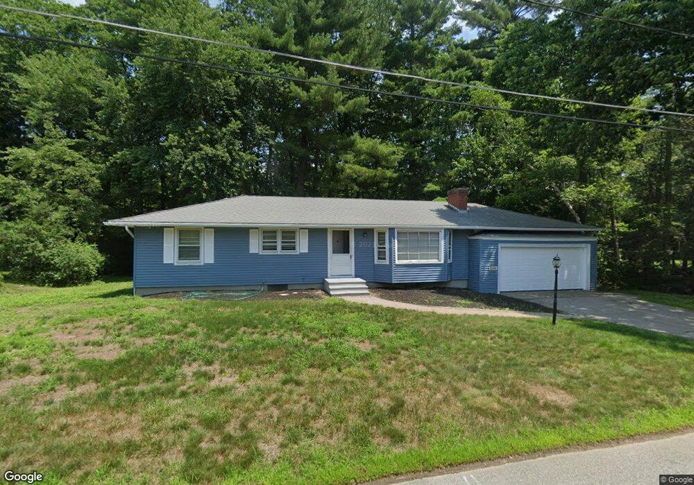
60 Powers Rd Holden, MA 01520
Estimated Value: $441,000 - $463,000
3
Beds
2
Baths
1,254
Sq Ft
$360/Sq Ft
Est. Value
About This Home
This home is located at 60 Powers Rd, Holden, MA 01520 and is currently estimated at $451,661, approximately $360 per square foot. 60 Powers Rd is a home located in Worcester County with nearby schools including Wachusett Regional High School, Holden Christian Academy, and Bancroft School.
Ownership History
Date
Name
Owned For
Owner Type
Purchase Details
Closed on
Feb 22, 2021
Sold by
New Street Realty Corp
Bought by
Esperti Michael J
Current Estimated Value
Home Financials for this Owner
Home Financials are based on the most recent Mortgage that was taken out on this home.
Original Mortgage
$295,850
Outstanding Balance
$264,376
Interest Rate
2.65%
Mortgage Type
Purchase Money Mortgage
Estimated Equity
$187,285
Purchase Details
Closed on
Jan 31, 1995
Sold by
Est George Madeline and George William
Bought by
Fricka Frederick and Fricka Amalia
Create a Home Valuation Report for This Property
The Home Valuation Report is an in-depth analysis detailing your home's value as well as a comparison with similar homes in the area
Home Values in the Area
Average Home Value in this Area
Purchase History
| Date | Buyer | Sale Price | Title Company |
|---|---|---|---|
| Esperti Michael J | $305,000 | None Available | |
| Fricka Frederick | $115,000 | -- |
Source: Public Records
Mortgage History
| Date | Status | Borrower | Loan Amount |
|---|---|---|---|
| Open | Esperti Michael J | $295,850 |
Source: Public Records
Tax History Compared to Growth
Tax History
| Year | Tax Paid | Tax Assessment Tax Assessment Total Assessment is a certain percentage of the fair market value that is determined by local assessors to be the total taxable value of land and additions on the property. | Land | Improvement |
|---|---|---|---|---|
| 2025 | $5,322 | $384,000 | $145,800 | $238,200 |
| 2024 | $4,999 | $353,300 | $141,500 | $211,800 |
| 2023 | $4,825 | $321,900 | $123,000 | $198,900 |
| 2022 | $4,672 | $282,100 | $96,100 | $186,000 |
| 2021 | $4,517 | $259,600 | $91,500 | $168,100 |
| 2020 | $4,163 | $244,900 | $87,100 | $157,800 |
| 2019 | $4,096 | $234,700 | $87,100 | $147,600 |
| 2018 | $3,823 | $217,100 | $83,000 | $134,100 |
| 2017 | $3,752 | $213,300 | $83,000 | $130,300 |
| 2016 | $3,522 | $204,200 | $79,100 | $125,100 |
| 2015 | $3,513 | $193,900 | $79,100 | $114,800 |
| 2014 | $3,442 | $193,900 | $79,100 | $114,800 |
Source: Public Records
Map
Nearby Homes
- 124 Bailey Rd
- 33 Thorny Lea Rd
- 216 Reservoir St Unit 103
- 216 Reservoir St Unit 309
- 7 Holmes Dr
- 9 Holmes Dr
- 33 Meadow Wood Dr
- 26 Avery Heights Dr
- 8 Dawson Cir
- 8 (Lot 1) Holmes Dr
- 56 Highland Ave
- 16 Highland Ave
- 100 Avery Heights Dr
- 289 Bailey Rd
- 141 Lovell Rd
- 9 Short St
- 3 Oakridge Rd
- 168 Twinbrooke Dr
- 47 Banbury Ln
- 300 Malden St