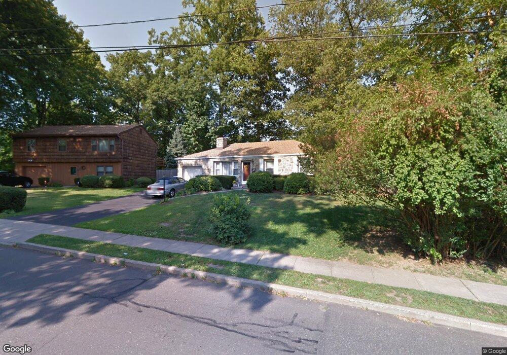
60 Rampart Rd Norwalk, CT 06854
Brookside NeighborhoodEstimated Value: $554,000 - $635,000
3
Beds
2
Baths
1,294
Sq Ft
$457/Sq Ft
Est. Value
About This Home
This home is located at 60 Rampart Rd, Norwalk, CT 06854 and is currently estimated at $591,835, approximately $457 per square foot. 60 Rampart Rd is a home located in Fairfield County with nearby schools including Brookside Elementary School, Roton Middle School, and Brien Mcmahon High School.
Create a Home Valuation Report for This Property
The Home Valuation Report is an in-depth analysis detailing your home's value as well as a comparison with similar homes in the area
Home Values in the Area
Average Home Value in this Area
Tax History Compared to Growth
Tax History
| Year | Tax Paid | Tax Assessment Tax Assessment Total Assessment is a certain percentage of the fair market value that is determined by local assessors to be the total taxable value of land and additions on the property. | Land | Improvement |
|---|---|---|---|---|
| 2025 | $8,315 | $347,260 | $160,730 | $186,530 |
| 2024 | $8,192 | $347,260 | $160,730 | $186,530 |
| 2023 | $6,228 | $247,530 | $122,780 | $124,750 |
| 2022 | $6,112 | $247,530 | $122,780 | $124,750 |
| 2021 | $5,953 | $247,530 | $122,780 | $124,750 |
| 2020 | $5,950 | $247,530 | $122,780 | $124,750 |
| 2019 | $5,783 | $247,530 | $122,780 | $124,750 |
| 2018 | $6,055 | $227,100 | $127,400 | $99,700 |
| 2017 | $5,847 | $227,100 | $127,400 | $99,700 |
| 2016 | $5,791 | $227,100 | $127,400 | $99,700 |
| 2015 | $5,775 | $227,100 | $127,400 | $99,700 |
| 2014 | $5,700 | $227,100 | $127,400 | $99,700 |
Source: Public Records
Map
Nearby Homes
- 39 Chatham Dr
- 13 Joemar Rd
- 1 Horizon Dr Unit 2
- 17 Woodlawn Ave
- 10 Ledgebrook Dr Unit 1
- 8 Crown Ave
- 6 W Couch St
- 6 Orlando Rd
- 29 Priscilla Rd
- 59 Taylor Ave
- 47 Taylor Ave
- 146 Gillies Ln Unit 146
- 7 Hadik Pkwy
- 18 Soundview Ave
- 187 Flax Hill Rd Unit D5
- 105 Richards Ave Unit 2305
- 4 Lowe St Unit 201
- 29 Nash Place
- 14 Ferris Ave Unit 9
- 97 Richards Ave Unit B10