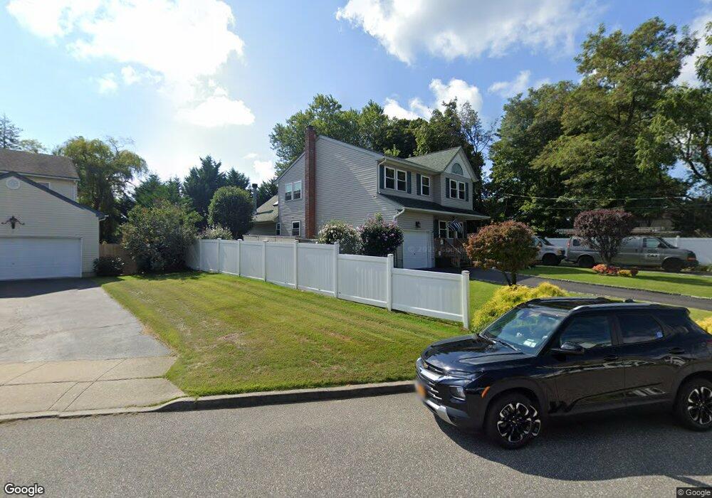
60 Rutland Rd West Babylon, NY 11704
Estimated Value: $729,830 - $795,000
4
Beds
3
Baths
2,006
Sq Ft
$382/Sq Ft
Est. Value
About This Home
This home is located at 60 Rutland Rd, West Babylon, NY 11704 and is currently estimated at $767,208, approximately $382 per square foot. 60 Rutland Rd is a home located in Suffolk County with nearby schools including Babylon Elementary School, Babylon Memorial Grade School, and Babylon High School.
Ownership History
Date
Name
Owned For
Owner Type
Purchase Details
Closed on
Jun 12, 2001
Sold by
Oakdale Builders Corp
Bought by
Cosby Andrew and Cosby Maureen
Current Estimated Value
Home Financials for this Owner
Home Financials are based on the most recent Mortgage that was taken out on this home.
Original Mortgage
$180,000
Interest Rate
7.09%
Purchase Details
Closed on
Jul 28, 2000
Sold by
Longo Carlo Piero
Bought by
Oakdale Builders Corp
Home Financials for this Owner
Home Financials are based on the most recent Mortgage that was taken out on this home.
Original Mortgage
$155,000
Interest Rate
8.21%
Mortgage Type
Construction
Create a Home Valuation Report for This Property
The Home Valuation Report is an in-depth analysis detailing your home's value as well as a comparison with similar homes in the area
Home Values in the Area
Average Home Value in this Area
Purchase History
| Date | Buyer | Sale Price | Title Company |
|---|---|---|---|
| Cosby Andrew | $229,000 | -- | |
| Oakdale Builders Corp | $140,000 | Fidelity National Title Ins |
Source: Public Records
Mortgage History
| Date | Status | Borrower | Loan Amount |
|---|---|---|---|
| Previous Owner | Cosby Andrew | $180,000 | |
| Previous Owner | Oakdale Builders Corp | $155,000 |
Source: Public Records
Tax History Compared to Growth
Tax History
| Year | Tax Paid | Tax Assessment Tax Assessment Total Assessment is a certain percentage of the fair market value that is determined by local assessors to be the total taxable value of land and additions on the property. | Land | Improvement |
|---|---|---|---|---|
| 2024 | $14,145 | $4,140 | $180 | $3,960 |
| 2023 | $14,145 | $4,140 | $180 | $3,960 |
| 2022 | $12,156 | $4,140 | $180 | $3,960 |
| 2021 | $12,156 | $4,140 | $180 | $3,960 |
| 2020 | $12,760 | $4,140 | $180 | $3,960 |
| 2019 | $12,760 | $0 | $0 | $0 |
| 2018 | $12,293 | $4,140 | $180 | $3,960 |
| 2017 | $12,293 | $4,140 | $180 | $3,960 |
| 2016 | $12,130 | $4,140 | $180 | $3,960 |
| 2015 | -- | $4,140 | $180 | $3,960 |
| 2014 | -- | $4,140 | $180 | $3,960 |
Source: Public Records
Map
Nearby Homes
- 26 Sawyer Ave
- 6 Glenda Dr
- 154A Woodrow Pkwy
- 144 Woodrow Pkwy
- 204 Millard Ave Unit 204
- 162 Millard Ave Unit 162
- 79 Woodrow Pkwy
- 248 Arnold Ave
- 115 Old Farmingdale Rd
- 24 Calvert Ave
- 1 Puritan Place
- 118 Terrace Ave
- 49 Arnold Ave
- 45 Arnold Ave
- 6 Waltie Ct
- 4 Lime Ct
- 219 Litchfield Ave
- 16 Della Dr
- 5 Petersen Ct Unit 5
- 792 Glendale Rd
- 50 Rutland Rd
- 511 Little East Neck Rd
- 515 Little East Neck Rd
- 82 Lenox Rd
- 70 Rutland Rd
- 84 Lenox Rd
- 53 Rutland Rd
- 507 Little East Neck Rd
- 59 Rutland Rd
- 49 Rutland Rd
- 65 Rutland Rd
- 503 Little East Neck Rd
- 71 Rutland Rd Unit Side
- 71 Rutland Rd Unit Upper
- 71 Rutland Rd
- 1 Berkshire Rd
- 45 Rutland Rd
- 80 Lenox Rd
- 83 Lenox Rd
- 586 Little East Neck Rd