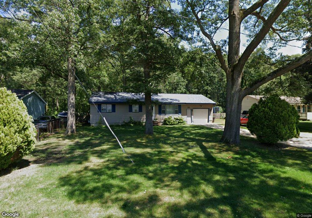
60 S Dangl Rd Muskegon, MI 49442
Estimated Value: $188,000 - $202,000
3
Beds
1
Bath
960
Sq Ft
$204/Sq Ft
Est. Value
About This Home
This home is located at 60 S Dangl Rd, Muskegon, MI 49442 and is currently estimated at $195,863, approximately $204 per square foot. 60 S Dangl Rd is a home located in Muskegon County with nearby schools including Orchard View Early Elementary School, Cardinal Elementary School, and Orchard View Middle School.
Ownership History
Date
Name
Owned For
Owner Type
Purchase Details
Closed on
Nov 2, 2007
Sold by
Potter Amy S
Bought by
Potter Alfred and Potter Amy S
Current Estimated Value
Home Financials for this Owner
Home Financials are based on the most recent Mortgage that was taken out on this home.
Original Mortgage
$117,068
Outstanding Balance
$74,299
Interest Rate
6.44%
Mortgage Type
New Conventional
Estimated Equity
$121,564
Purchase Details
Closed on
May 3, 2005
Sold by
Rust Lawrence E and Rust Mary E
Bought by
Potter Amy S
Home Financials for this Owner
Home Financials are based on the most recent Mortgage that was taken out on this home.
Original Mortgage
$92,667
Interest Rate
6.05%
Mortgage Type
FHA
Create a Home Valuation Report for This Property
The Home Valuation Report is an in-depth analysis detailing your home's value as well as a comparison with similar homes in the area
Home Values in the Area
Average Home Value in this Area
Purchase History
| Date | Buyer | Sale Price | Title Company |
|---|---|---|---|
| Potter Alfred | -- | Nations Title Agency Of Mi | |
| Potter Amy S | -- | Harbor Title |
Source: Public Records
Mortgage History
| Date | Status | Borrower | Loan Amount |
|---|---|---|---|
| Open | Potter Alfred | $117,068 | |
| Closed | Potter Amy S | $92,667 |
Source: Public Records
Tax History Compared to Growth
Tax History
| Year | Tax Paid | Tax Assessment Tax Assessment Total Assessment is a certain percentage of the fair market value that is determined by local assessors to be the total taxable value of land and additions on the property. | Land | Improvement |
|---|---|---|---|---|
| 2025 | $2,326 | $85,000 | $0 | $0 |
| 2024 | $434 | $78,400 | $0 | $0 |
| 2023 | $415 | $64,300 | $0 | $0 |
| 2022 | $2,154 | $54,800 | $0 | $0 |
| 2021 | $1,891 | $48,600 | $0 | $0 |
| 2020 | $2,048 | $44,200 | $0 | $0 |
| 2019 | $2,315 | $39,600 | $0 | $0 |
| 2018 | $2,242 | $38,300 | $0 | $0 |
| 2017 | $2,116 | $37,700 | $0 | $0 |
| 2016 | $354 | $34,300 | $0 | $0 |
| 2015 | -- | $32,700 | $0 | $0 |
| 2014 | -- | $30,800 | $0 | $0 |
| 2013 | -- | $29,400 | $0 | $0 |
Source: Public Records
Map
Nearby Homes
- 3110 Meyers Dr
- 3172 Hall Rd
- 110 Willow Wood Dr
- 3486 Polonaise Dr
- 123 Darwin Dr
- 2770 Macarthur Rd
- 2756 Marquette Ave
- 16 S Densmore St
- V/L N Mill Iron Rd
- 3861 Forest Edge Rd
- 328 Hazelwood Ct
- 415 S Densmore St
- VL Hazelwood Ct
- 30 S Sheridan Dr
- 170 S Brooks Rd
- VL N Brooks Rd
- 306 N Brooks Rd
- 470 S Sheridan Dr
- 3186 E Apple Ave
- 2916 E Apple Ave