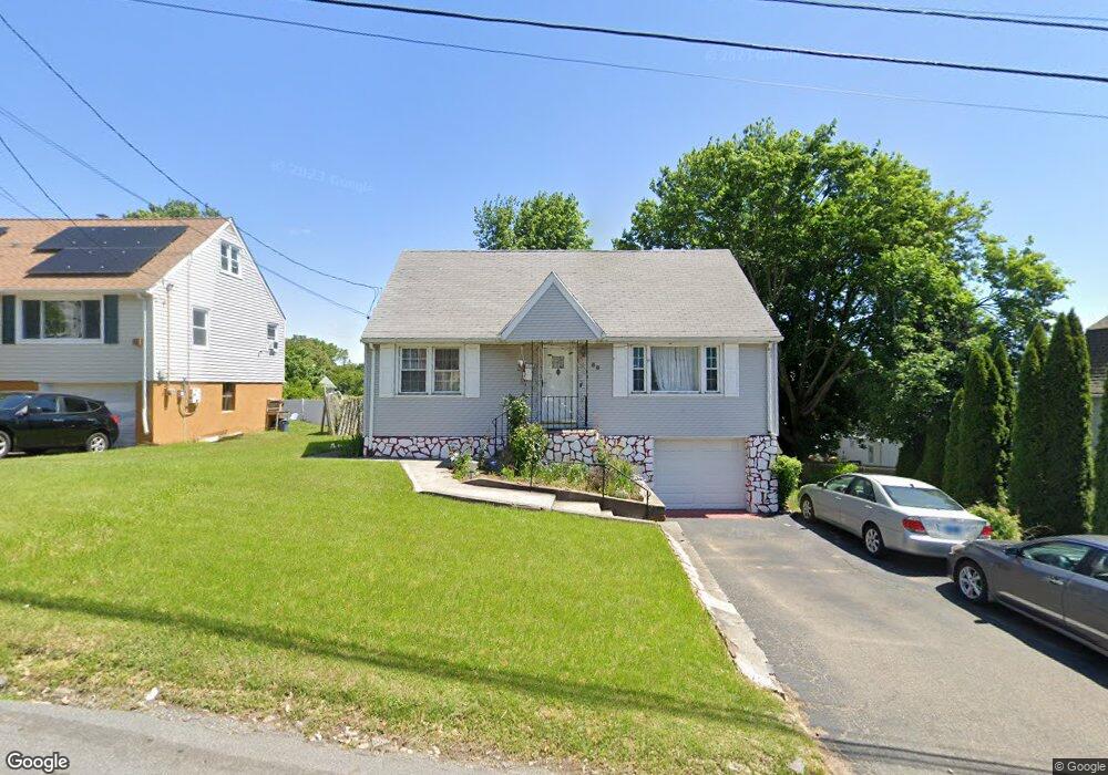
60 Sampson St Bridgeport, CT 06606
Brooklawn-Saint Vincent NeighborhoodEstimated Value: $391,000 - $460,000
4
Beds
2
Baths
1,313
Sq Ft
$321/Sq Ft
Est. Value
About This Home
This home is located at 60 Sampson St, Bridgeport, CT 06606 and is currently estimated at $421,608, approximately $321 per square foot. 60 Sampson St is a home located in Fairfield County with nearby schools including Madison School, Central High School, and Catholic Academy of Bridgeport-St. Raphael Academy.
Ownership History
Date
Name
Owned For
Owner Type
Purchase Details
Closed on
Jun 18, 2021
Sold by
Heywood Catherine E and Heywood Peter
Bought by
Delpino Yashimabeth D and Heywood Catherine E
Current Estimated Value
Home Financials for this Owner
Home Financials are based on the most recent Mortgage that was taken out on this home.
Original Mortgage
$157,000
Interest Rate
2.8%
Mortgage Type
New Conventional
Purchase Details
Closed on
Nov 9, 2009
Sold by
Sobers Catherine E
Bought by
Sobers Catherine E and Heywood Peter
Purchase Details
Closed on
Jan 19, 1995
Sold by
Okane Michael and Okane Adele
Bought by
Williams Eric A and Williams Elsa
Home Financials for this Owner
Home Financials are based on the most recent Mortgage that was taken out on this home.
Original Mortgage
$91,675
Interest Rate
9.16%
Mortgage Type
Unknown
Create a Home Valuation Report for This Property
The Home Valuation Report is an in-depth analysis detailing your home's value as well as a comparison with similar homes in the area
Home Values in the Area
Average Home Value in this Area
Purchase History
| Date | Buyer | Sale Price | Title Company |
|---|---|---|---|
| Delpino Yashimabeth D | -- | None Available | |
| Delpino Yashimabeth D | -- | None Available | |
| Delpino Yashimabeth D | -- | None Available | |
| Sobers Catherine E | -- | -- | |
| Williams Eric A | $96,500 | -- | |
| Sobers Catherine E | -- | -- | |
| Williams Eric A | $96,500 | -- |
Source: Public Records
Mortgage History
| Date | Status | Borrower | Loan Amount |
|---|---|---|---|
| Previous Owner | Delpino Yashimabeth D | $157,000 | |
| Previous Owner | Williams Eric A | $9,920 | |
| Previous Owner | Williams Eric A | $91,675 |
Source: Public Records
Tax History Compared to Growth
Tax History
| Year | Tax Paid | Tax Assessment Tax Assessment Total Assessment is a certain percentage of the fair market value that is determined by local assessors to be the total taxable value of land and additions on the property. | Land | Improvement |
|---|---|---|---|---|
| 2025 | $6,334 | $145,770 | $75,640 | $70,130 |
| 2024 | $6,334 | $145,770 | $75,640 | $70,130 |
| 2023 | $6,334 | $145,770 | $75,640 | $70,130 |
| 2022 | $6,334 | $145,770 | $75,640 | $70,130 |
| 2021 | $6,334 | $145,770 | $75,640 | $70,130 |
| 2020 | $5,292 | $98,010 | $39,510 | $58,500 |
| 2019 | $5,292 | $98,010 | $39,510 | $58,500 |
| 2018 | $5,329 | $98,010 | $39,510 | $58,500 |
| 2017 | $5,329 | $98,010 | $39,510 | $58,500 |
| 2016 | $5,329 | $98,010 | $39,510 | $58,500 |
| 2015 | $5,323 | $126,130 | $47,810 | $78,320 |
| 2014 | $5,323 | $126,130 | $47,810 | $78,320 |
Source: Public Records
Map
Nearby Homes
- 201 High Ridge Dr
- 241 Sampson St
- 150 Alexander Dr
- 11 Myron Ave
- 125 Alexander Dr
- 119 Madison Terrace
- 1275 Capitol Ave
- 508 Hawley Ave
- 203 Wayne St
- 724 Capitol Ave Unit 726
- 76 Suburban Ave
- 2345 Park Ave
- 2625 Park Ave Unit 12L
- 2625 Park Ave Unit 5N
- 2445 Park Ave Unit 23
- 390 Charles St Unit 106
- 252 Harlem Ave Unit B6
- 252 Harlem Ave Unit B5
- 31 Taft Ave
- 105 Tremont Ave Unit E
- 74 Sampson St
- 50 Sampson St
- 19 Holroyd St
- 194 Arlington St
- 29 Holroyd St
- 88 Sampson St
- 39 Sampson St
- 186 Arlington St
- 202 Arlington St
- 41 Sampson St
- 45 Holroyd St
- 67 Sampson St
- 28 Sampson St Unit 2
- 28 Sampson St Unit 3
- 28 Sampson St
- 77 Sampson St
- 33 Sampson St
- 31 Sampson St
- 93 Sampson St
- 54 Holroyd St