60 Sharpsburg Cir Calera, AL 35040
Estimated Value: $224,000 - $244,294
--
Bed
1
Bath
1,677
Sq Ft
$141/Sq Ft
Est. Value
About This Home
This home is located at 60 Sharpsburg Cir, Calera, AL 35040 and is currently estimated at $236,574, approximately $141 per square foot. 60 Sharpsburg Cir is a home located in Shelby County with nearby schools including Calera Intermediate School, Calera Elementary School, and Calera Middle School.
Ownership History
Date
Name
Owned For
Owner Type
Purchase Details
Closed on
Feb 28, 2022
Sold by
Davenport Jeremy L
Bought by
Wilson Curtis Ray and Wilson Julia Hampton
Current Estimated Value
Home Financials for this Owner
Home Financials are based on the most recent Mortgage that was taken out on this home.
Original Mortgage
$201,010
Outstanding Balance
$187,315
Interest Rate
3.69%
Estimated Equity
$49,259
Purchase Details
Closed on
Aug 16, 2018
Sold by
Dearing Joy A
Bought by
Davenport Linda W
Purchase Details
Closed on
Mar 31, 2004
Sold by
Halvorson Jeffrey P and Halvorson Karron C
Bought by
Dearing John F and Dearing Joy A
Home Financials for this Owner
Home Financials are based on the most recent Mortgage that was taken out on this home.
Original Mortgage
$115,093
Interest Rate
5.55%
Mortgage Type
FHA
Purchase Details
Closed on
Sep 1, 1999
Sold by
Halvorson Jeffrey P and Halvorson Gloria S
Bought by
Halvorson Jeffrey P and Halvorson Karron W
Create a Home Valuation Report for This Property
The Home Valuation Report is an in-depth analysis detailing your home's value as well as a comparison with similar homes in the area
Home Values in the Area
Average Home Value in this Area
Purchase History
| Date | Buyer | Sale Price | Title Company |
|---|---|---|---|
| Wilson Curtis Ray | $199,000 | Atchison Mike T | |
| Davenport Linda W | $88,000 | None Available | |
| Dearing John F | $116,900 | -- | |
| Halvorson Jeffrey P | $500 | Stewart Title Insurance Corp |
Source: Public Records
Mortgage History
| Date | Status | Borrower | Loan Amount |
|---|---|---|---|
| Open | Wilson Curtis Ray | $201,010 | |
| Previous Owner | Dearing John F | $115,093 |
Source: Public Records
Tax History Compared to Growth
Tax History
| Year | Tax Paid | Tax Assessment Tax Assessment Total Assessment is a certain percentage of the fair market value that is determined by local assessors to be the total taxable value of land and additions on the property. | Land | Improvement |
|---|---|---|---|---|
| 2024 | $894 | $20,320 | $0 | $0 |
| 2023 | $817 | $19,500 | $0 | $0 |
| 2022 | $641 | $15,500 | $0 | $0 |
| 2021 | $560 | $13,660 | $0 | $0 |
| 2020 | $485 | $11,960 | $0 | $0 |
| 2019 | $481 | $11,860 | $0 | $0 |
| 2017 | $959 | $21,800 | $0 | $0 |
| 2015 | $930 | $21,140 | $0 | $0 |
| 2014 | $910 | $20,680 | $0 | $0 |
Source: Public Records
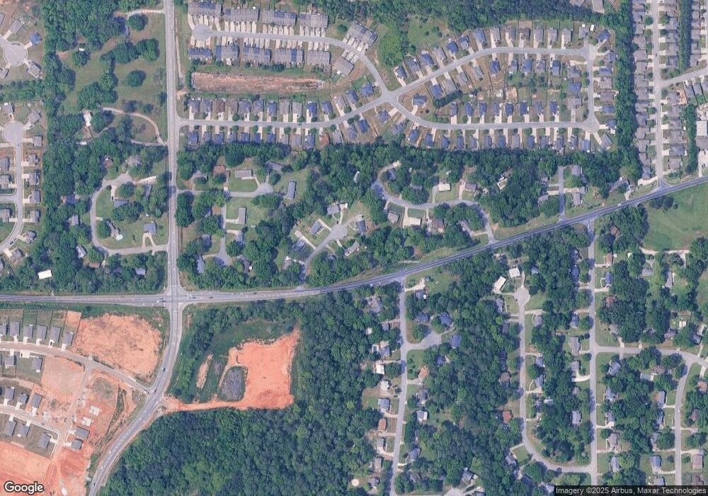
Map
Nearby Homes
- 2051 Rossburg Place
- 302 Nottingham Dr
- The Penwell Plan at Koslin Farms
- The Hayden Plan at Koslin Farms
- The Freeport Plan at Koslin Farms
- The Cali Plan at Koslin Farms
- The Aldridge Plan at Koslin Farms
- 361 Koslin Loop
- 365 Koslin Loop
- 349 Koslin Loop
- 356 Koslin Loop
- 316 Union Station Way
- 360 Koslin Loop
- 5714 Smokey Rd
- 143 King Richards Way
- 157 Union Station Dr
- 244 Koslin Loop
- 605 Koslin Ct
- 611 Koslin Ct
- 173 Union Station Dr
- 40 Sharpsburg Cir
- 70 Sharpsburg Cir
- 111 Burgundy Ln
- 26 Milgray Ln
- 95 Burgundy Ln
- 55 Sharpsburg Cir
- 65 Sharpsburg Cir
- 25 Milgray Ln
- 33 Sharpsburg Cir
- 77 Burgundy Ln
- 38 Milgray Ln
- 37 Rosemont Cir
- 37 Milgray Ln
- 15 Sharpsburg Cir
- 135 Burgundy Ln
- 130 Burgundy Ln
- 94 Burgundy Ln
- 50 Milgray Ln
- 76 Ivanhoe Ln
- 78 Ivanhoe Ln