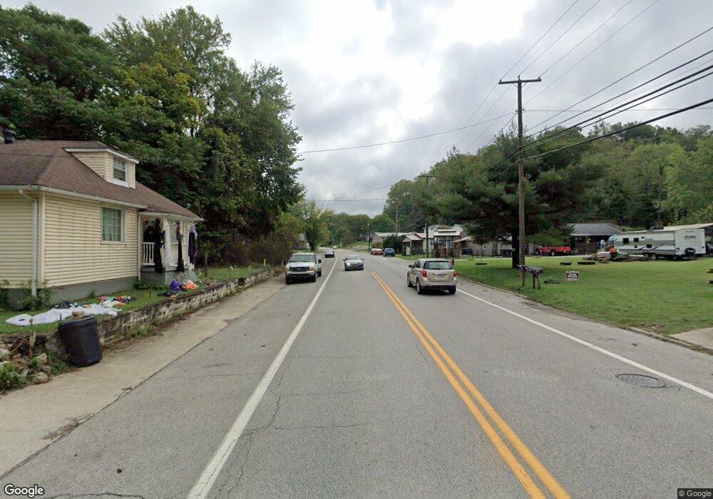
60 State Route 243 Coal Grove, OH 45638
Estimated Value: $285,000 - $567,600
3
Beds
3
Baths
2,693
Sq Ft
$145/Sq Ft
Est. Value
About This Home
This home is located at 60 State Route 243, Coal Grove, OH 45638 and is currently estimated at $390,650, approximately $145 per square foot. 60 State Route 243 is a home with nearby schools including Chesapeake Elementary School, Chesapeake Middle School, and Chesapeake High School.
Ownership History
Date
Name
Owned For
Owner Type
Purchase Details
Closed on
Jul 7, 2011
Sold by
Kerns Mitchell Lee and Kerns Krissye Leigh
Bought by
Floyd Randy L and Floyd Sheila A
Current Estimated Value
Home Financials for this Owner
Home Financials are based on the most recent Mortgage that was taken out on this home.
Original Mortgage
$237,000
Outstanding Balance
$163,433
Interest Rate
4.56%
Mortgage Type
VA
Estimated Equity
$227,217
Purchase Details
Closed on
Apr 9, 2007
Sold by
Smith James T and Smith Bonnie Joyce
Bought by
Kerns Mitchell Lee and Kerns Krissye Leigh
Home Financials for this Owner
Home Financials are based on the most recent Mortgage that was taken out on this home.
Original Mortgage
$160,000
Interest Rate
6.26%
Mortgage Type
Purchase Money Mortgage
Create a Home Valuation Report for This Property
The Home Valuation Report is an in-depth analysis detailing your home's value as well as a comparison with similar homes in the area
Home Values in the Area
Average Home Value in this Area
Purchase History
| Date | Buyer | Sale Price | Title Company |
|---|---|---|---|
| Floyd Randy L | $237,000 | None Available | |
| Kerns Mitchell Lee | $15,500 | None Available |
Source: Public Records
Mortgage History
| Date | Status | Borrower | Loan Amount |
|---|---|---|---|
| Open | Floyd Randy L | $237,000 | |
| Previous Owner | Kerns Mitchell Lee | $160,000 |
Source: Public Records
Tax History Compared to Growth
Tax History
| Year | Tax Paid | Tax Assessment Tax Assessment Total Assessment is a certain percentage of the fair market value that is determined by local assessors to be the total taxable value of land and additions on the property. | Land | Improvement |
|---|---|---|---|---|
| 2024 | -- | $93,580 | $8,050 | $85,530 |
| 2023 | $2,588 | $93,580 | $8,050 | $85,530 |
| 2022 | $2,586 | $93,580 | $8,050 | $85,530 |
| 2021 | $2,350 | $80,720 | $7,650 | $73,070 |
| 2020 | $2,365 | $80,720 | $7,650 | $73,070 |
| 2019 | $2,362 | $80,720 | $7,650 | $73,070 |
| 2018 | $2,378 | $80,720 | $7,650 | $73,070 |
| 2017 | $2,377 | $80,720 | $7,650 | $73,070 |
| 2016 | $2,194 | $80,170 | $7,650 | $72,520 |
| 2015 | $1,989 | $72,030 | $7,640 | $64,390 |
| 2014 | $1,988 | $72,030 | $7,640 | $64,390 |
| 2013 | $1,987 | $72,030 | $7,640 | $64,390 |
Source: Public Records
Map
Nearby Homes
- 253 Township Road 1357
- 14 Township Road 1356
- 275 Township Road 118
- 3493 County Road 31
- 135 Township Road 85 E
- 3171 County Road 31
- 152 Township Road 1483
- 101 Township Road 1119
- 983 County Road 104
- 1666 County Road 31
- 1334 McKinney Creek-Hesson Hollow Rd N
- 1334 Township Road 214th N
- 66 Township Road 1523
- 81 Township Road 158
- 301 Township Road 158
- 101 Township Road 1199
- 30 Township Road 1482
- 6757 County Road 15
- 0 County Road 123
- 6897 County Road 15
- 76 Township Road 354
- 44 Township Road 354
- 119 Township Road 354
- 0 Township Road 354
- 35 Township Road 354
- 85 Township Road 354
- 19 Township Road 354
- 12789 State Route 243
- 105 Township Road 354
- 154 Township Road 354
- 130 Township Road 354
- 140 County Road 36
- 12867 State Route 243
- 161 Township Road 354
- 12731 State Route 243
- 12642 State Route 243
- 12935 State Route 243
- 12621 State Route 243
- 12621 State Route 243
- 12616 State Route 243
