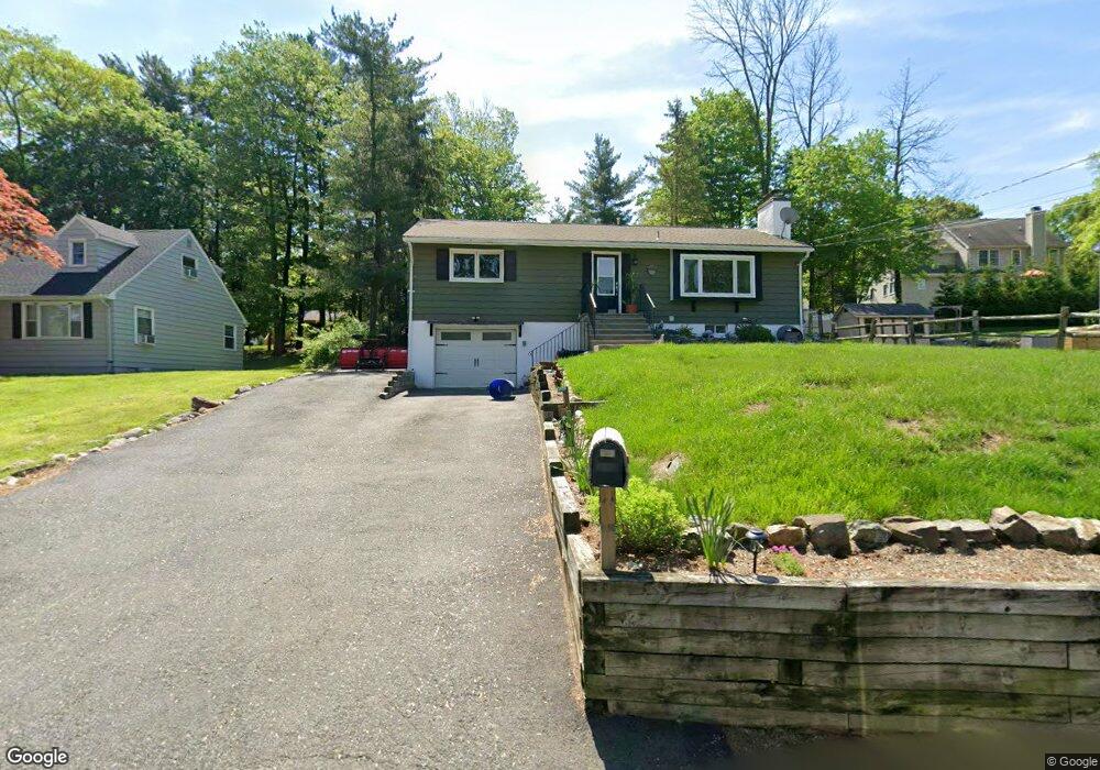
60 Summit Rd Sparta, NJ 07871
Estimated Value: $396,000 - $575,000
Studio
--
Bath
1,056
Sq Ft
$432/Sq Ft
Est. Value
About This Home
This home is located at 60 Summit Rd, Sparta, NJ 07871 and is currently estimated at $456,641, approximately $432 per square foot. 60 Summit Rd is a home located in Sussex County with nearby schools including Sparta High School, Reverand George A. Brown School, and Alpine Montessori - Sparta.
Ownership History
Date
Name
Owned For
Owner Type
Purchase Details
Closed on
Jun 3, 2013
Sold by
Corbo Anthony and Corbo Dawn
Bought by
Millikin Bryan J
Current Estimated Value
Home Financials for this Owner
Home Financials are based on the most recent Mortgage that was taken out on this home.
Original Mortgage
$201,600
Outstanding Balance
$143,023
Interest Rate
3.43%
Mortgage Type
New Conventional
Estimated Equity
$313,618
Purchase Details
Closed on
Mar 26, 2001
Sold by
Morley John F and Otterbein William M
Bought by
Corbo Anthony and Corbo Dawn
Home Financials for this Owner
Home Financials are based on the most recent Mortgage that was taken out on this home.
Original Mortgage
$106,000
Interest Rate
6.97%
Create a Home Valuation Report for This Property
The Home Valuation Report is an in-depth analysis detailing your home's value as well as a comparison with similar homes in the area
Home Values in the Area
Average Home Value in this Area
Purchase History
| Date | Buyer | Sale Price | Title Company |
|---|---|---|---|
| Millikin Bryan J | $252,000 | None Available | |
| Corbo Anthony | $132,500 | New Jersey Title Insurance C |
Source: Public Records
Mortgage History
| Date | Status | Borrower | Loan Amount |
|---|---|---|---|
| Open | Millikin Bryan J | $201,600 | |
| Previous Owner | Corbo Anthony | $106,000 |
Source: Public Records
Tax History
| Year | Tax Paid | Tax Assessment Tax Assessment Total Assessment is a certain percentage of the fair market value that is determined by local assessors to be the total taxable value of land and additions on the property. | Land | Improvement |
|---|---|---|---|---|
| 2025 | $9,008 | $251,000 | $134,200 | $116,800 |
| 2024 | $8,750 | $251,000 | $134,200 | $116,800 |
Source: Public Records
Map
Nearby Homes
- 41 Summit Rd
- 40 Summit Terrace
- 39 Summit Terrace
- 274 Alpine Trail
- 40 Westgate Dr
- 194 Andover Rd
- 603 W Shore Trail
- 590 W Shore Trail
- 583 W Shore Trail
- 586 W Shore Trail
- 107 Valley View Trail
- 53 Oakwood Trail
- 32 Heighwood Trail
- 32 Seneca Trail
- 35 Seneca Trail
- 378 E Shore Trail
- 65 Ledgewood Trail
- 43 Ledgewood Trail
- 351 E Shore Trail
- 49 Birch Pkwy
Your Personal Tour Guide
Ask me questions while you tour the home.