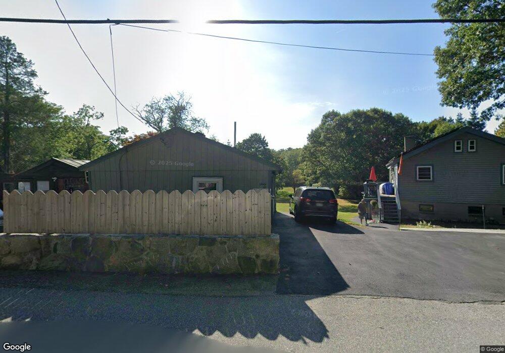
60 Sumner St Gloucester, MA 01930
West Gloucester NeighborhoodEstimated Value: $487,000 - $671,000
1
Bed
2
Baths
576
Sq Ft
$949/Sq Ft
Est. Value
About This Home
This home is located at 60 Sumner St, Gloucester, MA 01930 and is currently estimated at $546,343, approximately $948 per square foot. 60 Sumner St is a home located in Essex County with nearby schools including West Parish, Ralph B O'maley Middle School, and Gloucester High School.
Ownership History
Date
Name
Owned For
Owner Type
Purchase Details
Closed on
Apr 14, 2016
Sold by
Hubbard Kenneth A
Bought by
Kenneth A Hubbard Ret
Current Estimated Value
Purchase Details
Closed on
Dec 16, 1986
Bought by
Hubbard Kenneth A
Create a Home Valuation Report for This Property
The Home Valuation Report is an in-depth analysis detailing your home's value as well as a comparison with similar homes in the area
Home Values in the Area
Average Home Value in this Area
Purchase History
| Date | Buyer | Sale Price | Title Company |
|---|---|---|---|
| Kenneth A Hubbard Ret | -- | -- | |
| Hubbard Kenneth A | $3,000 | -- |
Source: Public Records
Mortgage History
| Date | Status | Borrower | Loan Amount |
|---|---|---|---|
| Previous Owner | Hubbard Kenneth A | $54,000 | |
| Previous Owner | Hubbard Kenneth A | $30,000 | |
| Previous Owner | Hubbard Kenneth A | $58,000 |
Source: Public Records
Tax History
| Year | Tax Paid | Tax Assessment Tax Assessment Total Assessment is a certain percentage of the fair market value that is determined by local assessors to be the total taxable value of land and additions on the property. | Land | Improvement |
|---|---|---|---|---|
| 2025 | $4,752 | $488,900 | $259,100 | $229,800 |
| 2024 | $4,601 | $472,900 | $246,400 | $226,500 |
| 2023 | $4,597 | $434,100 | $219,900 | $214,200 |
| 2022 | $4,401 | $375,200 | $191,300 | $183,900 |
| 2021 | $4,390 | $352,900 | $174,000 | $178,900 |
| 2020 | $4,117 | $333,900 | $174,000 | $159,900 |
| 2019 | $4,089 | $322,200 | $174,000 | $148,200 |
| 2018 | $4,034 | $312,000 | $174,000 | $138,000 |
| 2017 | $3,936 | $298,400 | $165,600 | $132,800 |
| 2016 | $3,902 | $286,700 | $172,800 | $113,900 |
| 2015 | $3,943 | $288,900 | $172,800 | $116,100 |
Source: Public Records
Map
Nearby Homes
- 7 Leaman Dr
- 587 Essex Ave
- 15 Lufkin Point Rd
- 368 Essex Ave
- 162 Main St
- 145 Main St Unit 1
- 145 Main St Unit 4
- 90 Southern Ave Unit 90
- 5 Samoset Rd Unit B
- 167 Atlantic St
- 178 Atlantic St
- 226 Atlantic St
- 5 Lepage Ln
- 34 & 34R Pickering St
- 24 Cobblestone Ln Unit 603
- 145 Essex Ave Unit 402
- 13 Honeysuckle Rd
- 85 Martin St
- 3 Hardy Ln
- 2 Breezy Point Rd
Your Personal Tour Guide
Ask me questions while you tour the home.