60 Unaka Trail Mineral Bluff, GA 30559
Estimated Value: $853,000 - $1,020,000
3
Beds
4
Baths
2,618
Sq Ft
$349/Sq Ft
Est. Value
About This Home
This home is located at 60 Unaka Trail, Mineral Bluff, GA 30559 and is currently estimated at $913,357, approximately $348 per square foot. 60 Unaka Trail is a home located in Fannin County with nearby schools including Fannin County High School.
Ownership History
Date
Name
Owned For
Owner Type
Purchase Details
Closed on
Sep 28, 2015
Sold by
Ussery Daniel
Bought by
Sankaran Julie M
Current Estimated Value
Home Financials for this Owner
Home Financials are based on the most recent Mortgage that was taken out on this home.
Original Mortgage
$200,000
Outstanding Balance
$81,117
Interest Rate
3.88%
Mortgage Type
New Conventional
Estimated Equity
$832,240
Purchase Details
Closed on
Apr 25, 2014
Sold by
Mountain High Llc
Bought by
Mountain High Builders Llc
Purchase Details
Closed on
Nov 19, 2013
Sold by
Davis Vernon
Bought by
Ussery Daniel and Klyn Michael
Purchase Details
Closed on
May 14, 2013
Sold by
Mountain High Builders Llc
Bought by
Nave Dellree
Purchase Details
Closed on
Mar 28, 2013
Sold by
Nave Dellree
Bought by
Davis Vernon
Purchase Details
Closed on
Apr 5, 2005
Sold by
Mountain High Builders Llc
Bought by
Nave Dellree
Create a Home Valuation Report for This Property
The Home Valuation Report is an in-depth analysis detailing your home's value as well as a comparison with similar homes in the area
Home Values in the Area
Average Home Value in this Area
Purchase History
| Date | Buyer | Sale Price | Title Company |
|---|---|---|---|
| Sankaran Julie M | $297,400 | -- | |
| Mountain High Builders Llc | -- | -- | |
| Ussery Daniel | $31,500 | -- | |
| Nave Dellree | -- | -- | |
| Davis Vernon | $30,000 | -- | |
| Nave Dellree | $125,000 | -- |
Source: Public Records
Mortgage History
| Date | Status | Borrower | Loan Amount |
|---|---|---|---|
| Open | Sankaran Julie M | $200,000 |
Source: Public Records
Tax History Compared to Growth
Tax History
| Year | Tax Paid | Tax Assessment Tax Assessment Total Assessment is a certain percentage of the fair market value that is determined by local assessors to be the total taxable value of land and additions on the property. | Land | Improvement |
|---|---|---|---|---|
| 2024 | $2,824 | $308,112 | $63,000 | $245,112 |
| 2023 | $2,508 | $246,016 | $48,600 | $197,416 |
| 2022 | $2,413 | $236,717 | $37,200 | $199,517 |
| 2021 | $1,961 | $139,837 | $37,200 | $102,637 |
| 2020 | $1,771 | $124,278 | $34,000 | $90,278 |
| 2019 | $1,806 | $124,278 | $34,000 | $90,278 |
| 2018 | $1,915 | $124,278 | $34,000 | $90,278 |
Source: Public Records
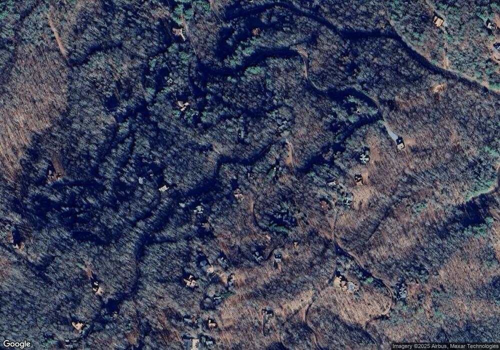
Map
Nearby Homes
- 300 Katahdin Dr
- Lot # 33 Mahoosec Trail
- 56 Kennebec Dr
- 1150 Mountain High Dr
- 469 Mountain High Dr
- 395 Pontoosuc Dr
- 2 Watson Gap Rd
- Lot 79 Moosilaukee Dr
- 58 Moosilaukee Dr
- 1359 Mountain High Dr
- #242 Kittatinny Dr
- 18 Wawayanda Dr
- LOT 3- 2.3 ACRE Arrowhead Dr
- Lot 13 Rocking Chair Ridge
- Lot 11 Rocking Chair Ridge
- Lot 12 Rocking Chair Ridge
- Lot 5 Rocking Chair Ridge
- Lot 15 Rocking Chair Ridge
- Lot 7 Rocking Chair Ridge
- LT 18 Unaka Trail
- LT 17 Unaka Trail
- 0 Unaka Trail Unit 19 7431419
- 0 Unaka Trail Unit 5520110
- 0 Unaka Trail Unit 7094614
- 25 Unaka Trail
- 17 Unaka Trail
- 72 Unaka Trail
- 810 Mountain High Dr
- 220 Mahoosec Trail
- 910 Mountain High Dr
- LOT 33 Mahoosec Trail
- 136 Mahoosec Trail
- 1009 Mountain High Dr
- 127 Unaka Trail
- LT 98
- 72 Kennebec Dr
- 1055 Mountain High Dr
- 1055 Mountain High Dr
- 483 Kennebec