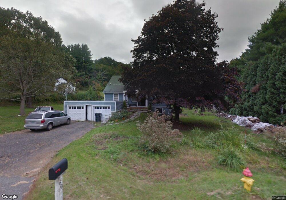
60 University Dr Torrington, CT 06790
Estimated Value: $333,000 - $494,000
3
Beds
2
Baths
2,462
Sq Ft
$168/Sq Ft
Est. Value
About This Home
This home is located at 60 University Dr, Torrington, CT 06790 and is currently estimated at $414,325, approximately $168 per square foot. 60 University Dr is a home located in Litchfield County with nearby schools including Torrington Middle School, Torrington High School, and St. John Paul the Great Academy.
Ownership History
Date
Name
Owned For
Owner Type
Purchase Details
Closed on
Apr 25, 2008
Sold by
Wells Fargo Bank Na
Bought by
Gabelmann David C and Morales-Gabelmann Tracy A
Current Estimated Value
Home Financials for this Owner
Home Financials are based on the most recent Mortgage that was taken out on this home.
Original Mortgage
$206,400
Interest Rate
6.22%
Purchase Details
Closed on
Apr 7, 2005
Sold by
Aitken Charles C
Bought by
Addario Leonard
Create a Home Valuation Report for This Property
The Home Valuation Report is an in-depth analysis detailing your home's value as well as a comparison with similar homes in the area
Home Values in the Area
Average Home Value in this Area
Purchase History
| Date | Buyer | Sale Price | Title Company |
|---|---|---|---|
| Gabelmann David C | $195,000 | -- | |
| Addario Leonard | $242,000 | -- |
Source: Public Records
Mortgage History
| Date | Status | Borrower | Loan Amount |
|---|---|---|---|
| Open | Addario Leonard | $209,445 | |
| Closed | Addario Leonard | $206,400 |
Source: Public Records
Tax History Compared to Growth
Tax History
| Year | Tax Paid | Tax Assessment Tax Assessment Total Assessment is a certain percentage of the fair market value that is determined by local assessors to be the total taxable value of land and additions on the property. | Land | Improvement |
|---|---|---|---|---|
| 2025 | $9,754 | $253,680 | $34,300 | $219,380 |
| 2024 | $6,654 | $138,710 | $34,300 | $104,410 |
| 2023 | $6,653 | $138,710 | $34,300 | $104,410 |
| 2022 | $6,539 | $138,710 | $34,300 | $104,410 |
| 2021 | $6,404 | $138,710 | $34,300 | $104,410 |
| 2020 | $6,404 | $138,710 | $34,300 | $104,410 |
| 2019 | $5,455 | $118,140 | $37,980 | $80,160 |
| 2018 | $5,455 | $118,140 | $37,980 | $80,160 |
| 2017 | $5,405 | $118,140 | $37,980 | $80,160 |
| 2016 | $5,405 | $118,140 | $37,980 | $80,160 |
| 2015 | $5,405 | $118,140 | $37,980 | $80,160 |
| 2014 | $6,100 | $167,950 | $57,790 | $110,160 |
Source: Public Records
Map
Nearby Homes
- 187 Lovers Ln Unit 61
- 79 Brass Mill Dam Rd
- 111 Mill Ln
- 68 Westledge Terrace
- 70 Greenfield Dr
- 213 Spring St
- 80 Baron Ln
- 58 Eggleston St
- 69 McGuinness St
- 7 Ford Ln
- 0 Stoneridge Dr
- 118 Bannon St
- 0 Highland Ave Unit 24088105
- 91 Riverside Ave
- 1739 Weed Rd
- 839 Main St Unit 65
- 839 Main St Unit 12
- 839 Main St Unit 104
- 29 Berry St
- 23 Berry St
- 86 University Dr
- 100 University Dr
- Lot 12 University Dr
- 00 University Dr
- 272 University Dr
- 690 Goshen Rd
- 276 University Dr
- 669 Goshen Rd
- 271 University Dr
- 279 University Dr
- 269 University Dr
- 311 University Dr
- 312 University Dr
- 426 Goshen Rd
- 311, 333 & 357 University Dr
- 727 Goshen Rd
- 427 Goshen Rd
- 333 University Dr
- 0 Lovers Ln
- 187 Hodges Hill Rd