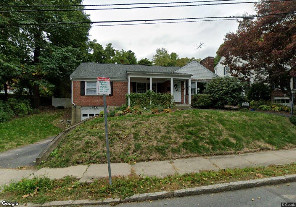
60 Westchester Rd Jamaica Plain, MA 02130
Jamaica Plain NeighborhoodEstimated Value: $939,000 - $1,187,000
3
Beds
3
Baths
1,570
Sq Ft
$702/Sq Ft
Est. Value
About This Home
This home is located at 60 Westchester Rd, Jamaica Plain, MA 02130 and is currently estimated at $1,102,439, approximately $702 per square foot. 60 Westchester Rd is a home located in Suffolk County with nearby schools including Dexter School and The Croft School - Jamaica Plain.
Ownership History
Date
Name
Owned For
Owner Type
Purchase Details
Closed on
Jan 18, 2020
Sold by
Obrien Geraldine A
Bought by
Shagoury Bevin K and Rives Rene A
Current Estimated Value
Home Financials for this Owner
Home Financials are based on the most recent Mortgage that was taken out on this home.
Original Mortgage
$302,500
Outstanding Balance
$267,785
Interest Rate
3.7%
Mortgage Type
New Conventional
Estimated Equity
$834,654
Purchase Details
Closed on
Jun 30, 1998
Sold by
Colantoni Louis P and Colantoni Mry
Bought by
Graves John S and Graves Kristin
Home Financials for this Owner
Home Financials are based on the most recent Mortgage that was taken out on this home.
Original Mortgage
$120,000
Interest Rate
7.09%
Mortgage Type
Purchase Money Mortgage
Create a Home Valuation Report for This Property
The Home Valuation Report is an in-depth analysis detailing your home's value as well as a comparison with similar homes in the area
Home Values in the Area
Average Home Value in this Area
Purchase History
| Date | Buyer | Sale Price | Title Company |
|---|---|---|---|
| Shagoury Bevin K | $665,000 | None Available | |
| Graves John S | $129,500 | -- |
Source: Public Records
Mortgage History
| Date | Status | Borrower | Loan Amount |
|---|---|---|---|
| Open | Shagoury Bevin K | $302,500 | |
| Previous Owner | Graves John S | $120,000 |
Source: Public Records
Tax History Compared to Growth
Tax History
| Year | Tax Paid | Tax Assessment Tax Assessment Total Assessment is a certain percentage of the fair market value that is determined by local assessors to be the total taxable value of land and additions on the property. | Land | Improvement |
|---|---|---|---|---|
| 2025 | $10,960 | $946,500 | $354,700 | $591,800 |
| 2024 | $9,905 | $908,700 | $363,100 | $545,600 |
| 2023 | $9,119 | $849,100 | $339,300 | $509,800 |
| 2022 | $8,479 | $779,300 | $311,400 | $467,900 |
| 2021 | $7,845 | $735,200 | $293,800 | $441,400 |
| 2020 | $7,803 | $738,900 | $275,600 | $463,300 |
| 2019 | $7,564 | $717,600 | $227,600 | $490,000 |
| 2018 | $7,162 | $683,400 | $227,600 | $455,800 |
| 2017 | $7,237 | $683,400 | $227,600 | $455,800 |
| 2016 | $6,712 | $610,200 | $227,600 | $382,600 |
| 2015 | $6,426 | $530,600 | $222,200 | $308,400 |
| 2014 | $6,169 | $490,400 | $222,200 | $268,200 |
Source: Public Records
Map
Nearby Homes
- 83 Whitcomb Ave
- 57 Louders Ln
- 7 Rambler Rd
- 12 Allandale St
- 2 Brownson Terrace
- 1000 Centre St Unit 4
- 41 Jamaica St
- 29 Goldsmith St Unit 1
- 232 Allandale Rd Unit 2D
- 27-29 Ballard St
- 214 Allandale Rd Unit B
- 96 Jamaica St
- 5 Hampstead Ln Unit 1
- 5 View South Ave Unit 1
- 206 Allandale Rd Unit 3C
- 2 Weld Hill St Unit PH2
- 55 South St
- 55 South St Unit 3
- 156A South St Unit 1L
- 9-11 Boynton St Unit 2
- 70 Westchester Rd
- 74 Westchester Rd Unit 1
- 74 Westchester Rd
- 59 Westchester Rd
- 69 Westchester Rd
- 78 Westchester Rd
- 73 Westchester Rd
- 65 Westchester Rd
- 45 Westchester Rd
- 55 Westchester Rd
- 9 Lila Rd
- 47 Westchester Rd
- 19 Lila Rd
- 77 Westchester Rd
- 5 Lila Rd
- 23 Lila Rd
- 23 Lila Rd Unit 1
- 43 Westchester Rd
- 25 Lila Rd
- 39 Westchester Rd