60 Wilson Ave Coal Township, PA 17866
Estimated Value: $130,000 - $334,000
--
Bed
--
Bath
--
Sq Ft
2.9
Acres
About This Home
This home is located at 60 Wilson Ave, Coal Township, PA 17866 and is currently estimated at $215,821. 60 Wilson Ave is a home located in Northumberland County with nearby schools including Shamokin Area Elementary School, Shamokin Area Middle School, and Shamokin Area High School.
Ownership History
Date
Name
Owned For
Owner Type
Purchase Details
Closed on
Aug 14, 2009
Sold by
Stone Robert J and Stone Jill M
Bought by
Stone Robert J and Stone Jill M
Current Estimated Value
Home Financials for this Owner
Home Financials are based on the most recent Mortgage that was taken out on this home.
Original Mortgage
$365,400
Interest Rate
5.36%
Mortgage Type
Future Advance Clause Open End Mortgage
Create a Home Valuation Report for This Property
The Home Valuation Report is an in-depth analysis detailing your home's value as well as a comparison with similar homes in the area
Home Values in the Area
Average Home Value in this Area
Purchase History
| Date | Buyer | Sale Price | Title Company |
|---|---|---|---|
| Stone Robert J | -- | None Available |
Source: Public Records
Mortgage History
| Date | Status | Borrower | Loan Amount |
|---|---|---|---|
| Closed | Stone Robert J | $365,400 |
Source: Public Records
Tax History Compared to Growth
Tax History
| Year | Tax Paid | Tax Assessment Tax Assessment Total Assessment is a certain percentage of the fair market value that is determined by local assessors to be the total taxable value of land and additions on the property. | Land | Improvement |
|---|---|---|---|---|
| 2025 | $6,054 | $52,970 | $4,880 | $48,090 |
| 2024 | $5,624 | $52,970 | $4,880 | $48,090 |
| 2023 | $5,624 | $52,970 | $4,880 | $48,090 |
| 2022 | $5,525 | $52,970 | $4,880 | $48,090 |
| 2021 | $5,309 | $52,970 | $4,880 | $48,090 |
| 2020 | $5,283 | $52,970 | $4,880 | $48,090 |
| 2019 | $4,792 | $52,970 | $4,880 | $48,090 |
| 2018 | $4,731 | $52,970 | $4,880 | $48,090 |
| 2017 | $4,494 | $52,970 | $4,880 | $48,090 |
| 2016 | -- | $52,970 | $4,880 | $48,090 |
| 2015 | -- | $52,970 | $4,880 | $48,090 |
| 2014 | -- | $52,970 | $4,880 | $48,090 |
Source: Public Records
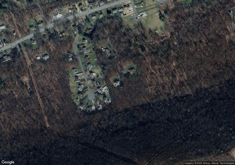
Map
Nearby Homes
- 2223 Park Rd
- 0 Park Rd
- 1950 W Independence St
- 1728 W Walnut St
- 1635 W Walnut St
- 1714 W Pine St
- 1539 W Lynn St
- 1100 Center St
- 1405 W Walnut St
- 1501 W Wood St
- 1551 W Holly St
- 1324 W Walnut St
- 954 Center St
- 1219 W Walnut St
- 1354 W Gowen St Unit 1356
- 1530 W Fern St
- 1104 W Walnut St
- 1149 W Wood St
- 1248 W Pine St
- 1401 W Montgomery St
- 71 Highview Dr
- 81 Highview Dr
- 61 Highview Dr
- 51 Highview Dr
- 142 Wilson Ave
- 91 Highview Dr
- 41 Highview Dr
- 30 Wilson Ave
- 90 Highview Dr
- 31 Highview Dr
- 60 Highview Dr
- 70 Highview Dr
- 50 Highview Dr
- 80 Highview Dr
- 40 Highview Dr
- 21 Highview Dr
- 1758 Trevorton Rd
- 11 Highview Dr
- 20 Highview Dr
- 118 Washington Blvd