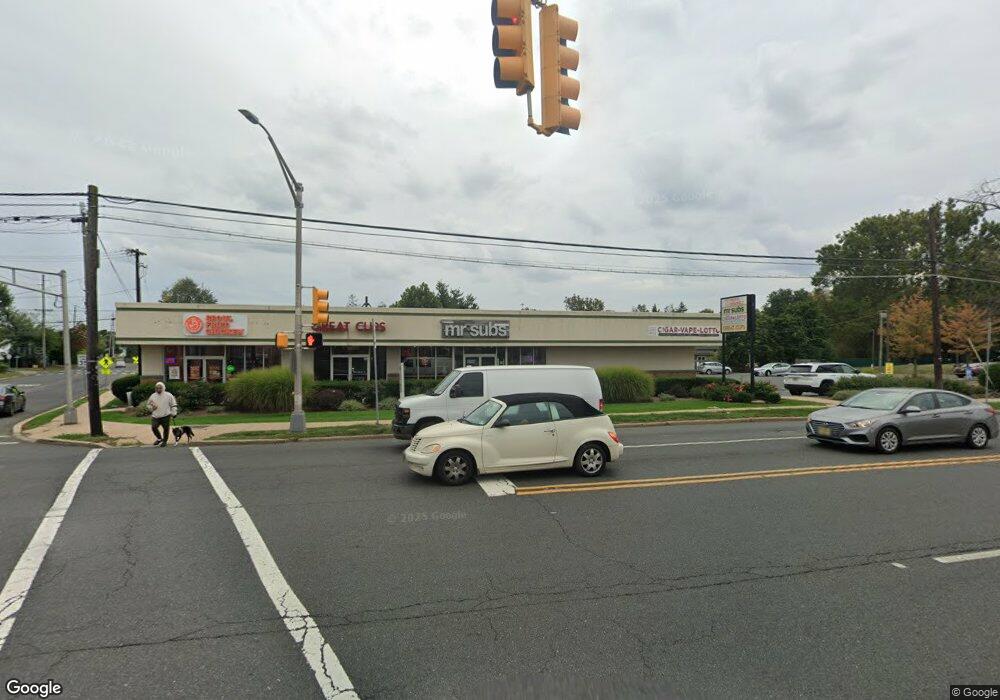
600-602 W Union Ave Bound Brook, NJ 08805
Estimated Value: $5,839,773
--
Bed
--
Bath
--
Sq Ft
0.86
Acres
About This Home
This home is located at 600-602 W Union Ave, Bound Brook, NJ 08805 and is currently estimated at $5,839,773. 600-602 W Union Ave is a home located in Somerset County with nearby schools including LaMonte Annex Elementary School, Lafayette Elementary School, and Bound Brook High School.
Ownership History
Date
Name
Owned For
Owner Type
Purchase Details
Closed on
Jun 6, 2017
Sold by
Next Deal Llc
Bought by
Park View Partners Llc
Current Estimated Value
Home Financials for this Owner
Home Financials are based on the most recent Mortgage that was taken out on this home.
Original Mortgage
$2,516,000
Outstanding Balance
$2,093,360
Interest Rate
4.03%
Mortgage Type
Credit Line Revolving
Estimated Equity
$3,746,413
Purchase Details
Closed on
Sep 17, 2008
Sold by
Mjr Of Bound Brook Llc
Bought by
The Next Deal Llc
Create a Home Valuation Report for This Property
The Home Valuation Report is an in-depth analysis detailing your home's value as well as a comparison with similar homes in the area
Home Values in the Area
Average Home Value in this Area
Purchase History
| Date | Buyer | Sale Price | Title Company |
|---|---|---|---|
| Park View Partners Llc | $3,145 | Trident Abstract Title Agenc | |
| The Next Deal Llc | $3,500,000 | None Available |
Source: Public Records
Mortgage History
| Date | Status | Borrower | Loan Amount |
|---|---|---|---|
| Open | Park View Partners Llc | $2,516,000 |
Source: Public Records
Tax History Compared to Growth
Tax History
| Year | Tax Paid | Tax Assessment Tax Assessment Total Assessment is a certain percentage of the fair market value that is determined by local assessors to be the total taxable value of land and additions on the property. | Land | Improvement |
|---|---|---|---|---|
| 2025 | $48,784 | $2,265,000 | $472,000 | $1,793,000 |
| 2024 | $48,784 | $2,150,000 | $427,000 | $1,723,000 |
| 2023 | $50,697 | $2,150,000 | $427,000 | $1,723,000 |
| 2022 | $67,154 | $2,699,100 | $407,000 | $2,292,100 |
| 2021 | $74,546 | $2,649,100 | $387,000 | $2,262,100 |
| 2020 | $86,081 | $2,788,500 | $372,000 | $2,416,500 |
| 2019 | $90,264 | $2,788,500 | $372,000 | $2,416,500 |
| 2018 | $89,635 | $2,688,500 | $372,000 | $2,316,500 |
| 2017 | $57,595 | $1,688,500 | $372,000 | $1,316,500 |
| 2016 | $57,173 | $1,688,500 | $372,000 | $1,316,500 |
| 2015 | $52,595 | $1,588,500 | $372,000 | $1,216,500 |
| 2014 | $51,026 | $1,488,500 | $272,000 | $1,216,500 |
Source: Public Records
Map
Nearby Homes
- 641 Crescent Dr
- 601 Thompson Ave
- 510 Dalay Place
- 722 Lawrence Rd
- 512 W 2nd St
- 617 Vosseller Ave
- 606 Vosseller Ave
- 301 Stratford Place
- 504 Stratford Place
- 307 W Union Ave
- 542 Wheatland Ave
- 432 Talmage Ave
- 143 Vosseller Ave
- 105 La Monte Ave
- 130 W High St Unit 132
- 126 W High St
- 40 van Keuren Ave Unit 42
- 34 van Keuren Ave Unit 38
- 102 W Franklin St
- 520 Winsor St
- 600 W Union Ave
- 689 Hanken Rd
- 685 Hanken Rd
- 211 Tea St
- 693 Hanken Rd
- 681 Hanken Rd
- 677 Hanken Rd
- Lot 5 Green Tee Terrace
- Lot #15 Green Tee Terrace
- Lot #1 Green Tee Terrace
- 120 Green Tee Terrace
- 194 Green Tee Terrace
- 555 Longwood Ave
- 673 Hanken Rd
- 654 Hanken Rd
- 650 Hanken Rd
- 658 Hanken Rd
- 551 Longwood Ave
- 646 Hanken Rd
- 662 Hanken Rd