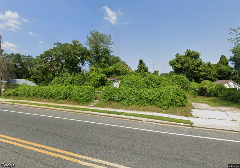
600 Addison Rd S Capitol Heights, MD 20743
Estimated Value: $248,147 - $338,000
Studio
1
Bath
1,008
Sq Ft
$311/Sq Ft
Est. Value
About This Home
This home is located at 600 Addison Rd S, Capitol Heights, MD 20743 and is currently estimated at $313,537, approximately $311 per square foot. 600 Addison Rd S is a home located in Prince George's County with nearby schools including Concord Elementary School, Walker Mill Middle School, and Central High School.
Ownership History
Date
Name
Owned For
Owner Type
Purchase Details
Closed on
Sep 18, 2014
Sold by
Mitchell Joe Ben and Mitchell Connie M
Bought by
Mitchell Joe Ben and Mitchell Sean A
Current Estimated Value
Purchase Details
Closed on
Feb 24, 1994
Sold by
Secretary Of H U D
Bought by
Mitchell Joe B
Home Financials for this Owner
Home Financials are based on the most recent Mortgage that was taken out on this home.
Original Mortgage
$59,050
Interest Rate
6.96%
Purchase Details
Closed on
Sep 17, 1993
Sold by
Goodwin
Bought by
Sec Hud
Purchase Details
Closed on
Dec 16, 1986
Sold by
Mcguire Terence A
Bought by
Goodwin Raymond E and Philli Donna L
Create a Home Valuation Report for This Property
The Home Valuation Report is an in-depth analysis detailing your home's value as well as a comparison with similar homes in the area
Home Values in the Area
Average Home Value in this Area
Purchase History
| Date | Buyer | Sale Price | Title Company |
|---|---|---|---|
| Mitchell Joe Ben | -- | None Available | |
| Mitchell Joe B | $59,150 | -- | |
| Sec Hud | $67,000 | -- | |
| Goodwin Raymond E | $61,500 | -- |
Source: Public Records
Mortgage History
| Date | Status | Borrower | Loan Amount |
|---|---|---|---|
| Closed | Sec Hud | $59,050 |
Source: Public Records
Tax History
| Year | Tax Paid | Tax Assessment Tax Assessment Total Assessment is a certain percentage of the fair market value that is determined by local assessors to be the total taxable value of land and additions on the property. | Land | Improvement |
|---|---|---|---|---|
| 2025 | $2,955 | $233,867 | -- | -- |
| 2024 | $2,955 | $222,433 | -- | -- |
| 2023 | $2,856 | $211,000 | $63,000 | $148,000 |
| 2022 | $2,761 | $205,633 | $0 | $0 |
| 2021 | $2,670 | $200,267 | $0 | $0 |
| 2020 | $2,603 | $194,900 | $46,500 | $148,400 |
| 2019 | $2,494 | $177,100 | $0 | $0 |
| 2018 | $2,367 | $159,300 | $0 | $0 |
| 2017 | $2,286 | $141,500 | $0 | $0 |
| 2016 | -- | $134,433 | $0 | $0 |
| 2015 | $2,203 | $127,367 | $0 | $0 |
| 2014 | $2,203 | $120,300 | $0 | $0 |
Source: Public Records
Map
Nearby Homes
- 606 Chance Place
- 423 Saint Margarets Dr
- 6509 Wilburn Dr
- 530 Victorianna Dr
- 516 Victorianna Dr
- 908 Evers Ave
- 308 Zelma Ave
- 611 Quarry Ave
- 6103 Westin Ct
- 209 Addison Rd S
- 6903 Fawncrest Dr
- 6515 Adak St
- 6706 Central Ave
- 0 Rollins Ave Unit MDPG2158618
- 30 Arenas Ct
- 6902 Adel St
- 6915 Adel St
- 109 Gray St
- 5814 Folgate Ct
- 5815 Falkland Place
- 602 Addison Rd S
- 6401 Cabin Branch Ct
- 510 Addison Rd S
- 6400 Cabin Branch Ct
- 604 Addison Rd S
- 6402 Cabin Branch Ct
- 6403 Cabin Branch Ct
- 6402 Coleton Ct
- 6400 Coleton Ct
- 601 Waveland Ave
- 603 Waveland Ave
- 6405 Cabin Branch Ct
- 605 Waveland Ave
- 6404 Coleton Ct
- 6404 Cabin Branch Ct
- 607 Waveland Ave
- 6401 Coleton Ct
- 609 Waveland Ave
- 611 Waveland Ave
- 613 Waveland Ave
Your Personal Tour Guide
Ask me questions while you tour the home.