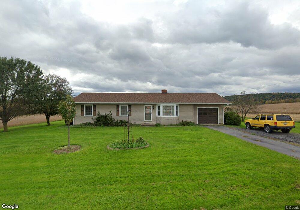
600 Airport Rd Selinsgrove, PA 17870
Estimated Value: $90,000 - $296,000
--
Bed
--
Bath
--
Sq Ft
1.01
Acres
About This Home
This home is located at 600 Airport Rd, Selinsgrove, PA 17870 and is currently estimated at $193,812. 600 Airport Rd is a home located in Snyder County with nearby schools including Selinsgrove Area Elementary School, Selinsgrove Intermediate School, and Selinsgrove Area Middle School.
Ownership History
Date
Name
Owned For
Owner Type
Purchase Details
Closed on
Jul 29, 2025
Sold by
Richard E And Nancy I Wagner Family Prot and Wagner Nancy I
Bought by
Gavason N D Jeffrey C
Current Estimated Value
Purchase Details
Closed on
Nov 30, 2010
Sold by
Wagner Richrad E and Wagner Nancy I
Bought by
Richard E &Nancy I Wagner Family Prote
Create a Home Valuation Report for This Property
The Home Valuation Report is an in-depth analysis detailing your home's value as well as a comparison with similar homes in the area
Home Values in the Area
Average Home Value in this Area
Purchase History
| Date | Buyer | Sale Price | Title Company |
|---|---|---|---|
| Gavason N D Jeffrey C | $100,000 | None Listed On Document | |
| Richard E &Nancy I Wagner Family Prote | -- | -- |
Source: Public Records
Mortgage History
| Date | Status | Borrower | Loan Amount |
|---|---|---|---|
| Closed | Richard E &Nancy I Wagner Family Prote | -- |
Source: Public Records
Tax History Compared to Growth
Tax History
| Year | Tax Paid | Tax Assessment Tax Assessment Total Assessment is a certain percentage of the fair market value that is determined by local assessors to be the total taxable value of land and additions on the property. | Land | Improvement |
|---|---|---|---|---|
| 2025 | $2,634 | $27,120 | $5,050 | $22,070 |
| 2024 | $2,558 | $27,120 | $5,050 | $22,070 |
| 2023 | $646 | $27,120 | $5,050 | $22,070 |
| 2022 | $2,435 | $27,120 | $5,050 | $22,070 |
| 2021 | $2,435 | $27,120 | $5,050 | $22,070 |
| 2020 | $2,435 | $27,120 | $5,050 | $22,070 |
| 2019 | $2,435 | $27,120 | $5,050 | $22,070 |
| 2018 | $2,435 | $27,120 | $5,050 | $22,070 |
| 2017 | $2,408 | $27,120 | $5,050 | $22,070 |
| 2016 | $700 | $27,120 | $5,050 | $22,070 |
| 2015 | $59,156 | $27,120 | $5,050 | $22,070 |
| 2014 | $59,156 | $27,120 | $5,050 | $22,070 |
Source: Public Records
Map
Nearby Homes
- 34 Oakmont Ct
- 0 Mill Rd
- 594 Augusta Dr
- 107 Saint Andrews Way
- 81 Saint Andrews Way
- 79 Saint Andrews Way
- 90 Limerick Ln
- 88 Limerick Ln
- 86 Limerick Ln
- 84 Limerick Ln
- 1667&1679 Route 204
- 0 Roosevelt Ave
- Phase 4 N Oakwood Ln
- 14 Fairway Dr
- 71 N Oakwood Ln
- 195 N Oakwood Ln
- 20 Quarry Rd
- 1262 N Old Trail
- 722 N 8th St
- 610 N 10th St