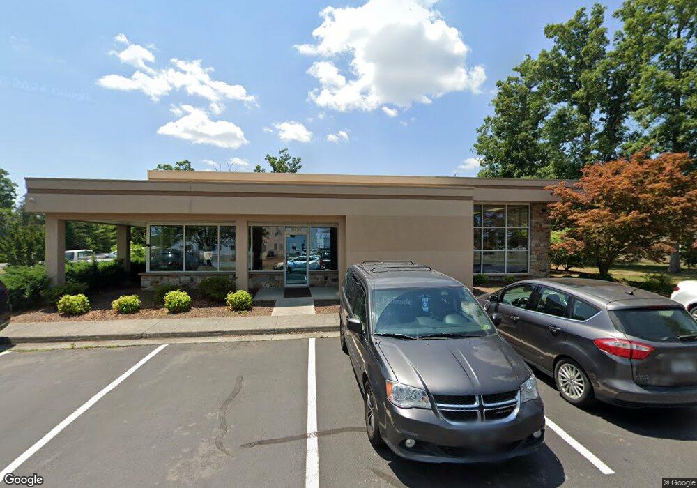
600 Airport Rd Winchester, VA 22602
Estimated Value: $2,068,282
--
Bed
--
Bath
7,340
Sq Ft
$282/Sq Ft
Est. Value
About This Home
This home is located at 600 Airport Rd, Winchester, VA 22602 and is currently estimated at $2,068,282, approximately $281 per square foot. 600 Airport Rd is a home located in Frederick County with nearby schools including Armel Elementary School, Admiral Richard E. Byrd Middle School, and Millbrook High School.
Ownership History
Date
Name
Owned For
Owner Type
Purchase Details
Closed on
Jul 17, 2009
Sold by
See Properties
Bought by
Royal United Properties
Current Estimated Value
Home Financials for this Owner
Home Financials are based on the most recent Mortgage that was taken out on this home.
Original Mortgage
$909,000
Outstanding Balance
$601,358
Interest Rate
5.58%
Mortgage Type
Construction
Estimated Equity
$1,466,924
Purchase Details
Closed on
Mar 15, 2005
Sold by
Lantz Const Co Of Winches
Bought by
See Properties Lp
Create a Home Valuation Report for This Property
The Home Valuation Report is an in-depth analysis detailing your home's value as well as a comparison with similar homes in the area
Home Values in the Area
Average Home Value in this Area
Purchase History
| Date | Buyer | Sale Price | Title Company |
|---|---|---|---|
| Royal United Properties | $950,000 | -- | |
| See Properties Lp | $950,000 | -- |
Source: Public Records
Mortgage History
| Date | Status | Borrower | Loan Amount |
|---|---|---|---|
| Open | Royal United Properties | $909,000 |
Source: Public Records
Tax History Compared to Growth
Tax History
| Year | Tax Paid | Tax Assessment Tax Assessment Total Assessment is a certain percentage of the fair market value that is determined by local assessors to be the total taxable value of land and additions on the property. | Land | Improvement |
|---|---|---|---|---|
| 2025 | $5,112 | $1,064,900 | $207,300 | $857,600 |
| 2024 | $2,211 | $867,200 | $188,200 | $679,000 |
| 2023 | $4,423 | $867,200 | $188,200 | $679,000 |
| 2022 | $4,850 | $795,100 | $155,500 | $639,600 |
| 2021 | $4,850 | $795,100 | $155,500 | $639,600 |
| 2020 | $4,274 | $700,700 | $140,000 | $560,700 |
| 2019 | $4,274 | $700,700 | $140,000 | $560,700 |
| 2018 | $4,377 | $717,500 | $140,000 | $577,500 |
| 2017 | $4,305 | $717,500 | $140,000 | $577,500 |
| 2016 | $4,216 | $702,700 | $140,000 | $562,700 |
| 2015 | $1,875 | $702,700 | $140,000 | $562,700 |
| 2014 | $1,875 | $625,400 | $140,000 | $485,400 |
Source: Public Records
Map
Nearby Homes
- 109 Shelby Ct
- 0 Front Royal Pike
- 368 Victory Rd
- 1301 Front Royal Pike
- 125 Alliance Ct
- 111 Sovereign Ct
- 280 Costello
- 109 Boone Ct
- Lot 1 WILDE Acres
- 206 Custer Ave
- 260 Costello
- 108 Kinross Dr
- 128 Raven Oaks Dr
- 123 Etnam St
- 121 Raven Oaks Dr
- 128 Nevermore Dr
- 127 Kinross Dr
- 461 Imperial St
- 220 Flanagan Dr
- 428 Imperial St
- 580 Airport Rd
- 640 Airport Rd
- 200 Aviation Dr
- 0 Airport Road Route 645 Unit VAFV159572
- 155 Aviation Dr
- 150 Tailspin Cir Unit 140152154
- 0 Aviation Dr Unit 1000138753
- 0 Aviation Dr Unit 1007952490
- 0 Aviation Dr Unit 1007064536
- 0 Aviation Dr Unit 1007064522
- 0 Aviation Dr Unit 1006839888
- 0 Aviation Dr Unit 1006706136
- 0 Aviation Dr Unit 1006579564
- 0 Aviation Dr Unit 1006480950
- 0 Aviation Dr Unit FV7622979
- 0 Aviation Dr Unit FV8304889
- 0 Aviation Dr Unit FV8304884
- 0 Aviation Dr Unit FV8661691
- 0 Aviation Dr Unit FV9849645
- 0 Aviation Dr Unit 1000138747