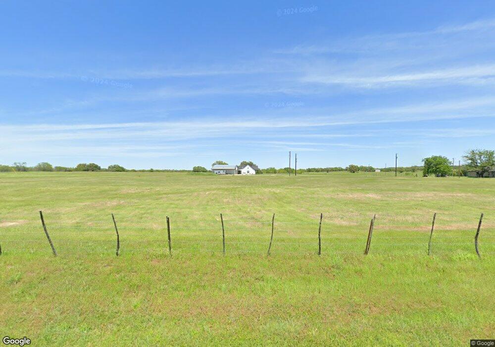
600 Barnes Rd Millsap, TX 76066
Estimated Value: $556,000
--
Bed
--
Bath
2,288
Sq Ft
$243/Sq Ft
Est. Value
About This Home
This home is located at 600 Barnes Rd, Millsap, TX 76066 and is currently estimated at $556,000, approximately $243 per square foot. 600 Barnes Rd is a home with nearby schools including Millsap Elementary School, Millsap Middle School, and Millsap High School.
Ownership History
Date
Name
Owned For
Owner Type
Purchase Details
Closed on
Jun 24, 2021
Sold by
Pilkington Deborah Lee and Barnes Michael Dee
Bought by
Pemberton Brian and Pemberton Brandee
Current Estimated Value
Purchase Details
Closed on
Jun 1, 2021
Sold by
Pilkington Deborah Lee and Barnes Michael Dee
Bought by
Pemberton Brian and Pemberton Brandee
Purchase Details
Closed on
May 16, 2013
Sold by
Barnes Melvin D
Bought by
Charleta Life Estate
Purchase Details
Closed on
Jan 1, 1901
Bought by
Charleta Life Estate
Create a Home Valuation Report for This Property
The Home Valuation Report is an in-depth analysis detailing your home's value as well as a comparison with similar homes in the area
Home Values in the Area
Average Home Value in this Area
Purchase History
| Date | Buyer | Sale Price | Title Company |
|---|---|---|---|
| Pemberton Brian | -- | None Listed On Document | |
| Pemberton Brian | -- | None Available | |
| Charleta Life Estate | -- | -- | |
| Charleta Life Estate | -- | -- |
Source: Public Records
Tax History Compared to Growth
Tax History
| Year | Tax Paid | Tax Assessment Tax Assessment Total Assessment is a certain percentage of the fair market value that is determined by local assessors to be the total taxable value of land and additions on the property. | Land | Improvement |
|---|---|---|---|---|
| 2025 | $12,642 | $627,580 | $29,420 | $598,160 |
| 2024 | $12,642 | $683,690 | $34,930 | $648,760 |
| 2023 | $12,642 | $553,940 | $34,930 | $519,010 |
| 2022 | $25 | $179,340 | $0 | $0 |
| 2021 | $26 | $128,440 | $0 | $0 |
| 2020 | $75 | $131,350 | $0 | $0 |
| 2019 | $80 | $131,350 | $0 | $0 |
| 2018 | $54 | $210,720 | $0 | $0 |
| 2017 | $53 | $210,720 | $0 | $0 |
| 2016 | $62 | $208,790 | $0 | $0 |
| 2015 | $61 | $208,790 | $0 | $0 |
| 2014 | $61 | $201,530 | $0 | $0 |
Source: Public Records
Map
Nearby Homes
- 9999 Trails End Cir
- 811 NE Front St
- 207 NE Front St
- 211 N Cherry St
- 1950 Consolation Dr
- 250 Young Rd
- 106 S Houston St
- 417 Wood River Rd
- 2500 Cool Jct Unit Tract 2
- 2101 Cool Jct
- 320 Wilson Bend Rd
- 2005 Tillman Blvd
- 3499 S Fm 113
- Farm To Market 113
- 1005 Resolute Rd
- 1747 Cool Jct
- 1923 Wilson Bend Rd
- 1045 Churchill Ln
- 4005 Marine Cir
- 1651 Doss Rd
- 603 Quail Run Rd
- 1760 Newberry Rd
- 2017 Sunset Ridge Dr
- 124 Trails End Cir
- 124 Trail End Cir
- 101 Trails End Cir
- 130 Trails End Cir
- 807 NE Front St
- TBD Trails End Cir
- 800 NE Front St
- 721 NE Front St
- 721 NE Front St
- 7290 Old Millsap Rd
- 629 NE Front St
- 7280 Old Millsap Rd
- 7270 Old Millsap Rd
- 401 Stadium Dr
- 3100 Cool Jct
- 2950 Cool Jct
- 000 N East Front