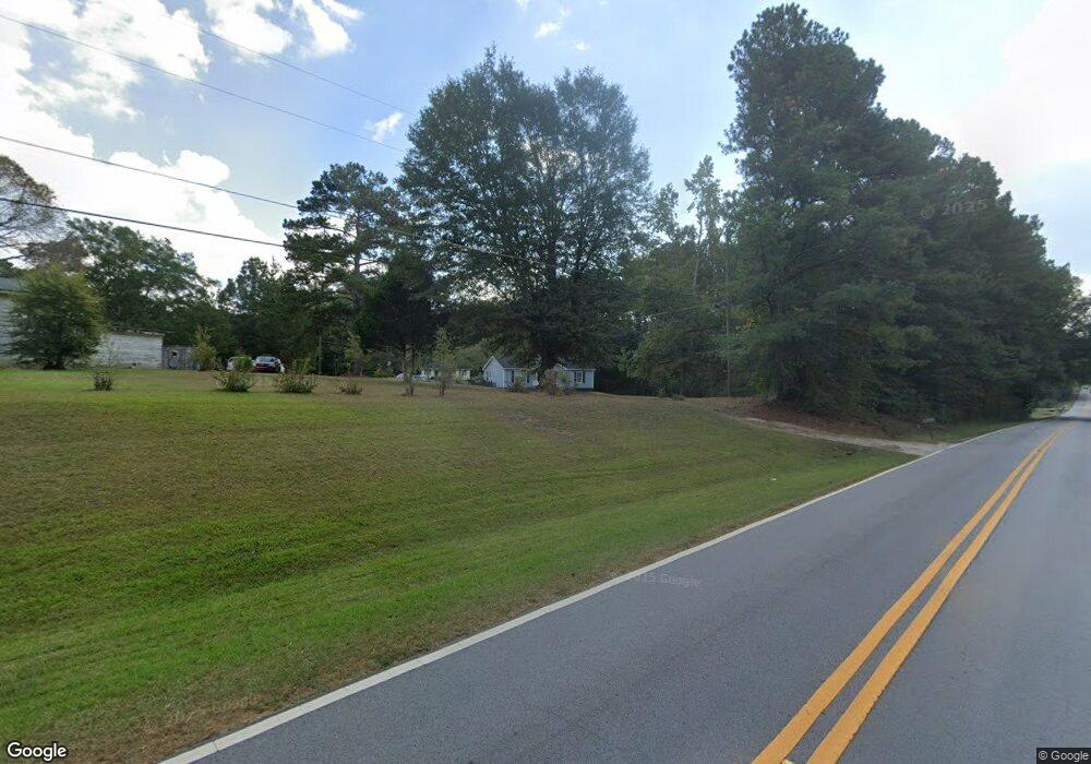
600 Buffalo Creek Rd Carrollton, GA 30117
Estimated Value: $227,899 - $303,000
3
Beds
2
Baths
1,232
Sq Ft
$212/Sq Ft
Est. Value
About This Home
This home is located at 600 Buffalo Creek Rd, Carrollton, GA 30117 and is currently estimated at $261,725, approximately $212 per square foot. 600 Buffalo Creek Rd is a home located in Carroll County with nearby schools including Central Elementary School, Central Middle School, and Central High School.
Ownership History
Date
Name
Owned For
Owner Type
Purchase Details
Closed on
Jan 5, 2022
Sold by
Walker Amy Estate
Bought by
Walker Tia and Smith Hason
Current Estimated Value
Purchase Details
Closed on
Aug 8, 2001
Sold by
Walker Bobby Lane
Bought by
Walker Bobby Lane and Walker Amy
Purchase Details
Closed on
Sep 24, 1994
Bought by
Walker Bobby Lane
Purchase Details
Closed on
Dec 28, 1993
Bought by
Walker
Purchase Details
Closed on
Dec 22, 1993
Bought by
Hawkins Helen J
Create a Home Valuation Report for This Property
The Home Valuation Report is an in-depth analysis detailing your home's value as well as a comparison with similar homes in the area
Home Values in the Area
Average Home Value in this Area
Purchase History
| Date | Buyer | Sale Price | Title Company |
|---|---|---|---|
| Walker Tia | -- | -- | |
| Walker Bobby Lane | -- | -- | |
| Walker Bobby Lane | -- | -- | |
| Walker Bobby | -- | -- | |
| Walker | $1,000 | -- | |
| Hawkins Helen J | -- | -- |
Source: Public Records
Tax History Compared to Growth
Tax History
| Year | Tax Paid | Tax Assessment Tax Assessment Total Assessment is a certain percentage of the fair market value that is determined by local assessors to be the total taxable value of land and additions on the property. | Land | Improvement |
|---|---|---|---|---|
| 2024 | $103 | $57,299 | $6,994 | $50,305 |
| 2023 | $103 | $51,346 | $5,595 | $45,751 |
| 2022 | $791 | $40,436 | $3,730 | $36,706 |
| 2021 | $703 | $34,501 | $2,984 | $31,517 |
| 2020 | $640 | $30,920 | $2,713 | $28,207 |
| 2019 | $599 | $28,445 | $2,713 | $25,732 |
| 2018 | $529 | $24,162 | $2,218 | $21,944 |
| 2017 | $531 | $24,162 | $2,218 | $21,944 |
| 2016 | $531 | $24,162 | $2,218 | $21,944 |
| 2015 | $565 | $24,214 | $3,593 | $20,622 |
| 2014 | $568 | $24,215 | $3,593 | $20,622 |
Source: Public Records
Map
Nearby Homes
- 1585 Hays Mill Rd
- 2214 Hays Mill Rd
- 533 Buffalo Creek Rd
- 0 Buffalo Creek Rd Unit 10624169
- 915 Oak Grove Rd
- 1250 Hays Mill Rd
- 105 Woodbine Dr
- 400 Stripling Chapel Rd
- 2492 Oak Grove Church Rd
- 345 Piney Grove Rd
- 121 Carson Place
- 0 Bonner Rd Unit 10635754
- 116 Manor Way
- 135 Gray Rd
- 399 Old Camp Church Rd
- 111 Vineyard Walk
- 111 Vineyard Walk Unit LOT 78
- 580 Buffalo Creek Rd
- 616 Buffalo Creek Rd
- 623 Buffalo Creek Rd
- 628 Buffalo Creek Rd
- 638 Buffalo Creek Rd
- 556 Buffalo Creek Rd
- 583 Roy North Rd
- 541 Buffalo Creek Rd
- 652 Buffalo Creek Rd
- 645 Buffalo Creek Rd
- 427 Roy North Rd
- 677 Buffalo Creek Rd
- 445 Roy North Rd
- 503 Buffalo Creek Rd
- 680 Buffalo Creek Rd
- 650 Buffalo Creek Rd
- 459 Roy North Rd
- 459 Roy North Rd
- 520 Buffalo Creek Rd
- 413 Roy North Rd