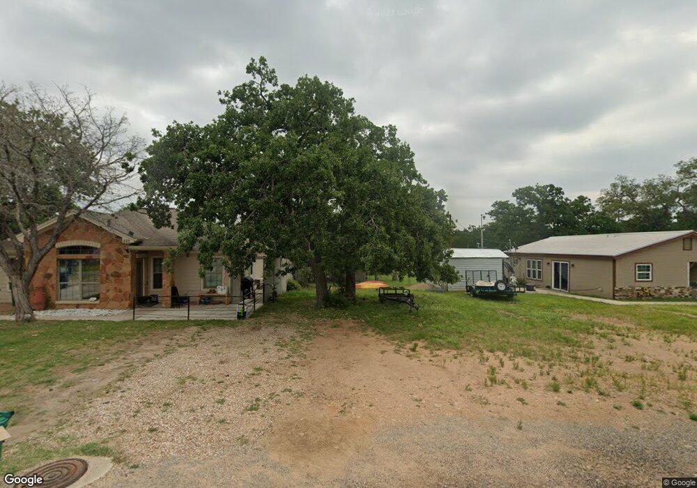
600 Circle Rd Unit 143 Cottonwood Shores, TX 78657
Estimated Value: $557,000 - $818,567
--
Bed
--
Bath
4,331
Sq Ft
$167/Sq Ft
Est. Value
About This Home
This home is located at 600 Circle Rd Unit 143, Cottonwood Shores, TX 78657 and is currently estimated at $721,522, approximately $166 per square foot. 600 Circle Rd Unit 143 is a home located in Burnet County with nearby schools including Colt Elementary School, Marble Falls Middle School, and Marble Falls High School.
Ownership History
Date
Name
Owned For
Owner Type
Purchase Details
Closed on
Oct 30, 2015
Sold by
Wheeler Carl Sloan and Estate Of Carlton Wesley Wheel
Bought by
Schubert Mark and Schubert Susan M
Current Estimated Value
Home Financials for this Owner
Home Financials are based on the most recent Mortgage that was taken out on this home.
Original Mortgage
$198,400
Outstanding Balance
$155,839
Interest Rate
3.75%
Mortgage Type
Adjustable Rate Mortgage/ARM
Estimated Equity
$565,683
Create a Home Valuation Report for This Property
The Home Valuation Report is an in-depth analysis detailing your home's value as well as a comparison with similar homes in the area
Home Values in the Area
Average Home Value in this Area
Purchase History
| Date | Buyer | Sale Price | Title Company |
|---|---|---|---|
| Schubert Mark | -- | Highland Lakes Title |
Source: Public Records
Mortgage History
| Date | Status | Borrower | Loan Amount |
|---|---|---|---|
| Open | Schubert Mark | $198,400 |
Source: Public Records
Tax History Compared to Growth
Tax History
| Year | Tax Paid | Tax Assessment Tax Assessment Total Assessment is a certain percentage of the fair market value that is determined by local assessors to be the total taxable value of land and additions on the property. | Land | Improvement |
|---|---|---|---|---|
| 2025 | $1,843 | $527,231 | -- | -- |
| 2024 | $1,843 | $479,301 | -- | -- |
| 2023 | $1,843 | $435,728 | $0 | $0 |
| 2022 | $3,698 | $396,116 | -- | -- |
| 2021 | $5,594 | $573,176 | $153,504 | $419,672 |
| 2020 | $5,213 | $470,888 | $99,630 | $371,258 |
| 2019 | $4,934 | $470,888 | $99,630 | $371,258 |
| 2018 | $4,560 | $281,119 | $96,678 | $184,441 |
| 2017 | $4,245 | $245,956 | $92,250 | $153,706 |
| 2016 | $4,245 | $245,956 | $92,250 | $153,706 |
| 2015 | -- | $212,806 | $59,100 | $153,706 |
| 2014 | -- | $204,184 | $59,100 | $145,084 |
Source: Public Records
Map
Nearby Homes
- 35 Taylor Dr
- 45 Taylor Dr
- 59 Taylor Dr
- 000 Cr418
- lots 112,113,114, an Circle Dr
- Lots 54-55 Taylor Dr
- Lots156,157,159 Circle Dr
- 605 Circle Rd
- 103 Taylor Dr
- 159 Circle Dr
- 0 Circle Dr Unit 2835211
- 103 Circle Dr
- Lots 153 & 154 Circle Dr
- Lots 84 & 85 Oak Ln
- 211 Taylor Dr
- 601 Oak Ln
- 102 Oak Ln
- 107 Oak Ln
- 100 Oak Ln
- 149 Circle Dr