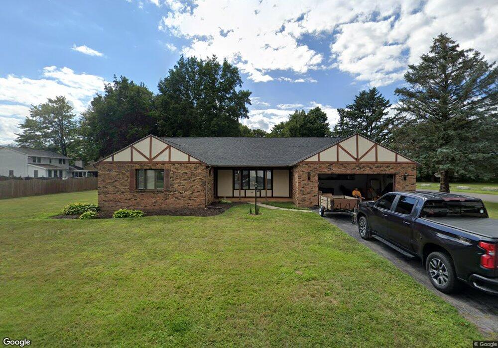
600 David Dr Syracuse, NY 13212
Estimated Value: $302,000 - $378,000
2
Beds
3
Baths
1,802
Sq Ft
$194/Sq Ft
Est. Value
About This Home
This home is located at 600 David Dr, Syracuse, NY 13212 and is currently estimated at $350,368, approximately $194 per square foot. 600 David Dr is a home located in Onondaga County with nearby schools including North Syracuse Junior High School, Cicero-North Syracuse High School, and Little Lamb Christian School.
Ownership History
Date
Name
Owned For
Owner Type
Purchase Details
Closed on
Mar 31, 2025
Sold by
Lone Wolf Development Llc
Bought by
Powers Michael T and Powers Betty L
Current Estimated Value
Purchase Details
Closed on
Dec 20, 2024
Sold by
Nicoletti Donna L Est and Perry
Bought by
Lone Wolf Development Llc
Purchase Details
Closed on
Jun 10, 2009
Sold by
Puopolo John N
Bought by
Nicoletti Donna L
Purchase Details
Closed on
Jun 9, 2009
Sold by
Puopolo Nina
Bought by
Nicoletti Donna
Purchase Details
Closed on
Oct 19, 2007
Sold by
Puopolo Nina
Bought by
Puopolo Nina
Purchase Details
Closed on
Feb 18, 2005
Sold by
Trustee Scuderi Frank J
Bought by
Puopolo Nina M
Purchase Details
Closed on
Dec 18, 2001
Sold by
Scuderi Frank J
Bought by
Scuderi Frank J
Create a Home Valuation Report for This Property
The Home Valuation Report is an in-depth analysis detailing your home's value as well as a comparison with similar homes in the area
Home Values in the Area
Average Home Value in this Area
Purchase History
| Date | Buyer | Sale Price | Title Company |
|---|---|---|---|
| Powers Michael T | $344,500 | None Available | |
| Lone Wolf Development Llc | $220,000 | None Available | |
| Nicoletti Donna L | $170,000 | Nancy Dye | |
| Nicoletti Donna L | $170,000 | Nancy Dye | |
| Nicoletti Donna | -- | -- | |
| Nicoletti Donna | -- | -- | |
| Puopolo Nina | -- | -- | |
| Puopolo Nina | -- | -- | |
| Puopolo Nina M | -- | Koldin Law Center | |
| Puopolo Nina M | -- | Koldin Law Center | |
| Scuderi Frank J | -- | -- | |
| Scuderi Frank J | -- | -- |
Source: Public Records
Tax History
| Year | Tax Paid | Tax Assessment Tax Assessment Total Assessment is a certain percentage of the fair market value that is determined by local assessors to be the total taxable value of land and additions on the property. | Land | Improvement |
|---|---|---|---|---|
| 2024 | $8,848 | $8,900 | $1,000 | $7,900 |
| 2023 | $8,515 | $8,900 | $1,000 | $7,900 |
| 2022 | $8,695 | $8,900 | $1,000 | $7,900 |
| 2021 | $8,594 | $8,900 | $1,000 | $7,900 |
| 2020 | $8,263 | $8,900 | $1,000 | $7,900 |
| 2019 | $2,897 | $8,900 | $1,000 | $7,900 |
| 2018 | $7,930 | $8,900 | $1,000 | $7,900 |
| 2017 | $2,817 | $8,900 | $1,000 | $7,900 |
| 2016 | $7,654 | $8,900 | $1,000 | $7,900 |
| 2015 | -- | $8,900 | $1,000 | $7,900 |
| 2014 | -- | $8,900 | $1,000 | $7,900 |
Source: Public Records
Map
Nearby Homes
- 504 Chestnut St
- 0 Buckley Rd
- 51 Homeland Rd
- 314 Belmore Dr
- 7593 Daphne Dr
- 233 Belmore Dr
- 7348 Farmstead Rd
- 131 Hazelhurst Ave
- 7369 Cedar Post Rd
- 7641 Windsor Dr N
- 315 Herman Dr
- 102 Lena Terrace
- 7218 Willow Rd
- 305 Hyland Dr
- 4964 Blacksmith Path
- 5006 Dahlia Cir
- 106 Victoria Park Dr
- 235 Chestnut St
- 4959 Wintersweet Dr
- 303 Victoria Park Dr
Your Personal Tour Guide
Ask me questions while you tour the home.