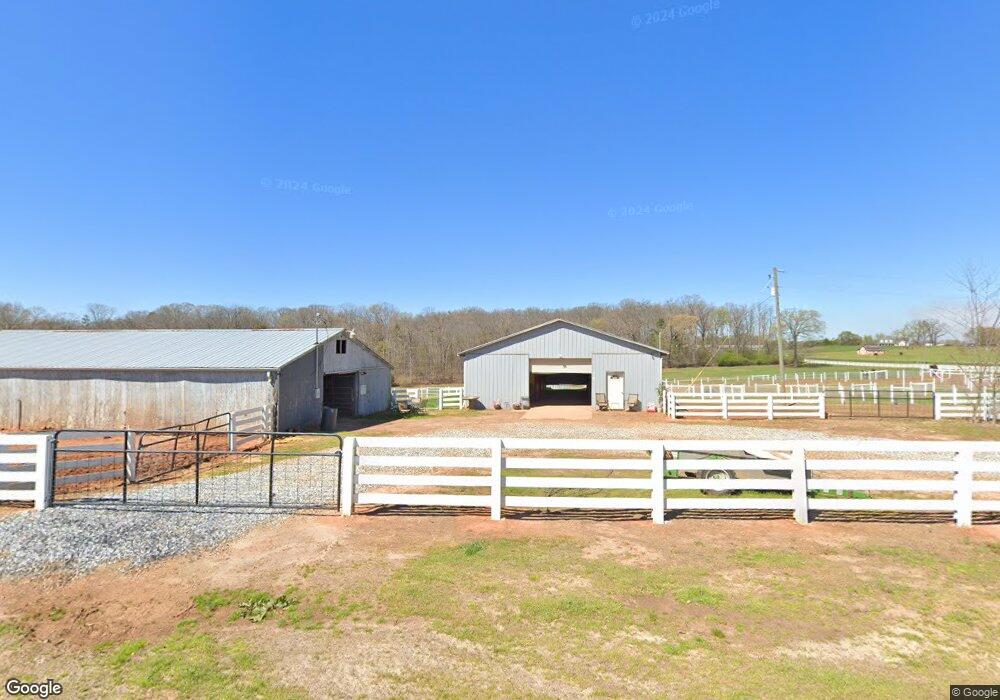
600 Dr Smith Rd Carnesville, GA 30521
Estimated Value: $371,000 - $443,000
3
Beds
3
Baths
2,213
Sq Ft
$188/Sq Ft
Est. Value
About This Home
This home is located at 600 Dr Smith Rd, Carnesville, GA 30521 and is currently estimated at $415,918, approximately $187 per square foot. 600 Dr Smith Rd is a home located in Franklin County with nearby schools including Franklin County High School.
Ownership History
Date
Name
Owned For
Owner Type
Purchase Details
Closed on
Mar 13, 2019
Sold by
Moore Sharon Jean
Bought by
Drosis Brandon
Current Estimated Value
Purchase Details
Closed on
Mar 13, 2008
Sold by
Elliott James D
Bought by
Elliott James D and Komisak Nancy Lynn Elliott
Purchase Details
Closed on
Jan 2, 2007
Sold by
Hand David W
Bought by
Moore Sharon J
Home Financials for this Owner
Home Financials are based on the most recent Mortgage that was taken out on this home.
Original Mortgage
$320,000
Interest Rate
6.05%
Mortgage Type
New Conventional
Purchase Details
Closed on
Nov 15, 1999
Sold by
Kaliher William J
Bought by
Hand David W
Purchase Details
Closed on
Nov 28, 1995
Bought by
Kaliher William J
Create a Home Valuation Report for This Property
The Home Valuation Report is an in-depth analysis detailing your home's value as well as a comparison with similar homes in the area
Purchase History
| Date | Buyer | Sale Price | Title Company |
|---|---|---|---|
| Drosis Brandon | -- | -- | |
| Elliott James D | -- | -- | |
| Moore Sharon J | $400,000 | -- | |
| Hand David W | $275,000 | -- | |
| Kaliher William J | $215,000 | -- |
Source: Public Records
Mortgage History
| Date | Status | Borrower | Loan Amount |
|---|---|---|---|
| Previous Owner | Moore Sharon J | $320,000 |
Source: Public Records
Tax History
| Year | Tax Paid | Tax Assessment Tax Assessment Total Assessment is a certain percentage of the fair market value that is determined by local assessors to be the total taxable value of land and additions on the property. | Land | Improvement |
|---|---|---|---|---|
| 2025 | $3,691 | $159,722 | $45,826 | $113,896 |
| 2024 | $3,278 | $137,724 | $27,793 | $109,931 |
| 2023 | $3,255 | $126,162 | $25,266 | $100,896 |
| 2022 | $2,933 | $113,669 | $20,965 | $92,704 |
| 2021 | $2,767 | $100,585 | $20,965 | $79,620 |
| 2020 | $2,509 | $90,237 | $20,965 | $69,272 |
| 2019 | $2,424 | $90,237 | $20,965 | $69,272 |
| 2018 | $2,134 | $79,444 | $16,946 | $62,498 |
| 2017 | $1,850 | $79,444 | $16,946 | $62,498 |
| 2016 | $1,745 | $73,126 | $16,946 | $56,180 |
| 2015 | -- | $73,126 | $16,946 | $56,180 |
| 2014 | -- | $72,790 | $16,946 | $55,844 |
| 2013 | -- | $73,994 | $16,946 | $57,048 |
Source: Public Records
Map
Nearby Homes
- 1719 Harber Rd
- HWY 51 Owl Hollow Rd
- 8750 Sandy Cross Rd
- 156 Neal Little Rd
- 7660 Sandy Cross Rd
- 0 Old Federal Rd Unit 6931372
- 8065 Sandy Cross Rd
- 6050 Sandy Cross Rd
- 19 Kathryn Way
- 0 Varner Rd
- 714 Nails Creek Crossing
- 1079 Hardeman Farm Rd
- 9 Dons Ct
- 31 Dons Ct
- 41 Manley Terrace
- 4308 Athens Rd
- 0 Nails Creek Crossing Unit 7703368
- 0 Nails Creek Crossing Unit 10708667
- 0 Georgia 198
- 775 Riverbend Rd
- 600 Doctor Smith Rd
- 730 Rock Pillar Rd
- 1065 Rock Pillar Rd
- 950 Rock Pillar Rd
- 1970 Holbrook Rd
- 1760 Holbrook Rd
- 1560 Holbrook Rd
- 3170 Highway 326
- 175 Rock Pillar Rd
- 1371 Rock Pillar Rd
- 1341 Rock Pillar Rd
- 1421 Rock Pillar Rd
- LOT 2 Rock Pillar Rd
- LOT 1 Rock Pillar Rd
- 190 Maloch Hill Dr
- 310 Maloch Hill Dr
- 1300 Rock Pillar Rd
- 1075 Holbrook Rd
- 2901 Highway 326
- 1717 Harber Rd
Your Personal Tour Guide
Ask me questions while you tour the home.