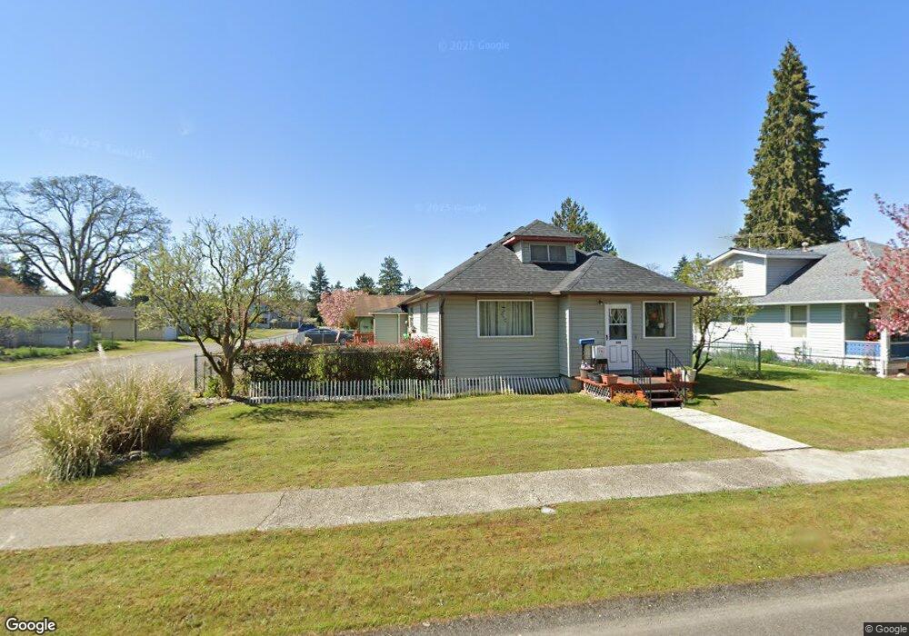
600 Dupont Ave Dupont, WA 98327
Estimated Value: $410,000 - $440,000
3
Beds
2
Baths
1,327
Sq Ft
$317/Sq Ft
Est. Value
About This Home
This home is located at 600 Dupont Ave, Dupont, WA 98327 and is currently estimated at $420,655, approximately $316 per square foot. 600 Dupont Ave is a home located in Pierce County with nearby schools including Chloe Clark Elementary School, Saltars Point Elementary School, and Pioneer Middle School.
Ownership History
Date
Name
Owned For
Owner Type
Purchase Details
Closed on
Feb 15, 2022
Sold by
Ann Shaver Elizabeth
Bought by
Elizabeth Ann Shaver Revocable Living Trust
Current Estimated Value
Purchase Details
Closed on
Jul 10, 2007
Sold by
Shaver Thomas Edward and Scarmack Mary Ann Shaver
Bought by
Shaver Elizabeth Ann
Purchase Details
Closed on
Aug 16, 1995
Sold by
Shaver Doris M
Bought by
Shaver Thomas Edward and Scarmack Mary Ann Shaver
Create a Home Valuation Report for This Property
The Home Valuation Report is an in-depth analysis detailing your home's value as well as a comparison with similar homes in the area
Home Values in the Area
Average Home Value in this Area
Purchase History
| Date | Buyer | Sale Price | Title Company |
|---|---|---|---|
| Elizabeth Ann Shaver Revocable Living Trust | -- | None Listed On Document | |
| Shaver Elizabeth Ann | -- | None Available | |
| Shaver Thomas Edward | -- | Commonwealth Title Insurance |
Source: Public Records
Tax History Compared to Growth
Tax History
| Year | Tax Paid | Tax Assessment Tax Assessment Total Assessment is a certain percentage of the fair market value that is determined by local assessors to be the total taxable value of land and additions on the property. | Land | Improvement |
|---|---|---|---|---|
| 2025 | $309 | $424,000 | $199,100 | $224,900 |
| 2024 | $309 | $410,700 | $194,800 | $215,900 |
| 2023 | $309 | $347,500 | $172,100 | $175,400 |
| 2022 | $2,663 | $362,800 | $180,000 | $182,800 |
| 2021 | $372 | $283,400 | $129,700 | $153,700 |
| 2019 | $396 | $244,300 | $104,600 | $139,700 |
| 2018 | $400 | $212,700 | $90,000 | $122,700 |
| 2017 | $419 | $192,400 | $82,500 | $109,900 |
| 2016 | $404 | $156,400 | $65,300 | $91,100 |
| 2014 | $214 | $157,900 | $65,300 | $92,600 |
| 2013 | $214 | $151,600 | $66,400 | $85,200 |
Source: Public Records
Map
Nearby Homes
- 605 Louviers Ave
- 504 Dupont Ave
- 403 Louviers Ave
- 205 Brandywine Ave
- 2147 Hammond Ave Unit B10
- 1680 Kennedy Place Unit A4
- 2176 Palisade Blvd Unit F-3
- 1607 Kincaid St Unit E-8
- 1856 Spencer Ct Unit 12F
- 2176 McDonald Ave
- 1285 Griggs St
- 2237 Tolmie St
- 2699 Erwin Ave Unit 2699
- 1263 Hudson St
- 1331 Rowan Ct Unit 1331
- 1373 Hudson St Unit 1373
- 1975 Garry Oaks Ave Unit C
- 2055 Garry Oaks Ave Unit B
- 2420 Simmons St Unit B
- 3114 Walker Rd
- 602 Dupont Ave
- 510 Dupont Ave
- 601 Louviers Ave
- 603 Louviers Ave
- 511 Louviers Ave
- 506 Dupont Ave
- 608 Dupont Ave
- 509 Louviers Ave
- 607 Louviers Ave
- 507 Louviers Ave
- 609 Louviers Ave
- 610 Dupont Ave
- 505 Louviers Ave
- 502 Dupont Ave
- 611 Louviers Ave
- 600 Louviers Ave
- 602 Louviers Ave
- 503 Louviers Ave
- 604 Louviers Ave
- 510 Louviers Ave