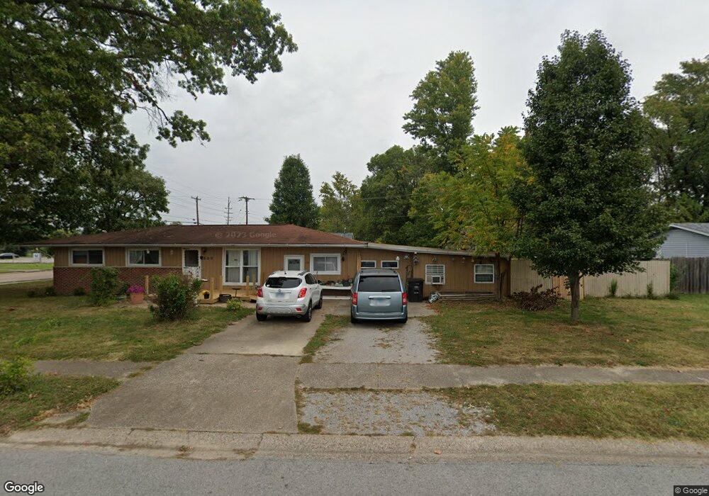
600 E Cindy St Carbondale, IL 62901
Estimated Value: $77,000 - $89,976
3
Beds
--
Bath
1,428
Sq Ft
$59/Sq Ft
Est. Value
About This Home
This home is located at 600 E Cindy St, Carbondale, IL 62901 and is currently estimated at $84,494, approximately $59 per square foot. 600 E Cindy St is a home located in Jackson County with nearby schools including Parrish Elementary School, Thomas Elementary School, and Lewis School.
Ownership History
Date
Name
Owned For
Owner Type
Purchase Details
Closed on
Apr 11, 2023
Sold by
Poston Deloris
Bought by
Poston Deloris
Current Estimated Value
Purchase Details
Closed on
Sep 23, 2022
Sold by
Poston Deloris and Poston Brenda
Bought by
Poston Deloris and Poston Brenda
Purchase Details
Closed on
Sep 7, 2022
Sold by
Poston Deloris and Poston Y
Bought by
Poston Brenda and Poston Y
Create a Home Valuation Report for This Property
The Home Valuation Report is an in-depth analysis detailing your home's value as well as a comparison with similar homes in the area
Home Values in the Area
Average Home Value in this Area
Purchase History
| Date | Buyer | Sale Price | Title Company |
|---|---|---|---|
| Poston Deloris | -- | -- | |
| Poston Deloris | -- | None Listed On Document | |
| Poston Brenda | -- | Not Available |
Source: Public Records
Tax History
| Year | Tax Paid | Tax Assessment Tax Assessment Total Assessment is a certain percentage of the fair market value that is determined by local assessors to be the total taxable value of land and additions on the property. | Land | Improvement |
|---|---|---|---|---|
| 2024 | $1,216 | $27,236 | $3,565 | $23,671 |
| 2023 | $1,261 | $24,670 | $3,229 | $21,441 |
| 2022 | $1,295 | $22,775 | $2,981 | $19,794 |
| 2021 | $1,346 | $21,668 | $2,836 | $18,832 |
| 2020 | $1,348 | $22,051 | $2,886 | $19,165 |
| 2019 | $1,299 | $22,142 | $2,898 | $19,244 |
| 2018 | $1,247 | $23,105 | $3,024 | $20,081 |
| 2017 | $1,209 | $23,515 | $3,024 | $20,491 |
| 2016 | $1,181 | $23,515 | $3,024 | $20,491 |
| 2015 | -- | $22,277 | $3,024 | $19,253 |
| 2014 | -- | $22,277 | $3,024 | $19,253 |
| 2012 | -- | $22,732 | $3,086 | $19,646 |
Source: Public Records
Map
Nearby Homes
- 418 & 420 S Graham St
- 319 E College St
- 300 E College St
- 615 S Logan Ave
- 405 E Mill St Unit 14
- 400 E Hester St
- 411 E Hester St
- 316 Lynda Dr
- 606 S Washington St
- 408 S University Ave
- 406 S University Ave
- 306 W Cherry St
- 305 W College St
- 505 S Ash St Unit 2
- 310 W Cherry St
- 511 S Ash St Unit 3
- 313 W Cherry St
- 307 W College St
- 000 N Mcqueen St
- 0000 N Reed Station Rd
- 405 S Wall St
- 405 S Wall 14
- 405 S Wall 14 Unit 14
- 601 E Cindy St
- 602 E Cindy St
- 411 S Wall St
- 603 E Cindy St
- 400 S Wall St
- 604 E Cindy St
- 601 E Snider St
- 603 E Snider St
- 605 E Cindy St
- 405 S Graham Ave
- 605 E Snider St
- 606 E Cindy St
- 607 E Cindy 5 6 St
- 607 E Cindy St Unit 5/6
- 607 E Cindy St
- 600 E Snider St
- 600 E Snider St Unit 2
Your Personal Tour Guide
Ask me questions while you tour the home.