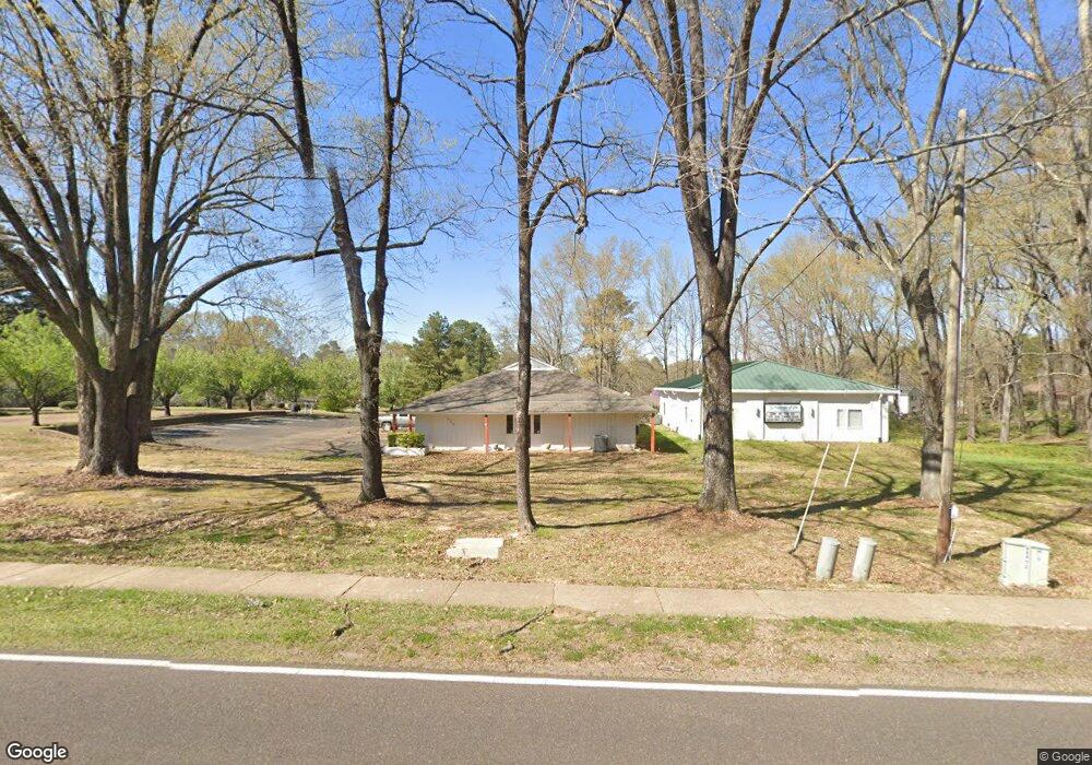
600 E Northside Dr Clinton, MS 39056
Estimated Value: $259,550
Studio
--
Bath
3,479
Sq Ft
$75/Sq Ft
Est. Value
About This Home
This home is located at 600 E Northside Dr, Clinton, MS 39056 and is currently estimated at $259,550, approximately $74 per square foot. 600 E Northside Dr is a home located in Hinds County with nearby schools including Clinton Park Elementary School, Eastside Elementary School, and Northside Elementary School.
Ownership History
Date
Name
Owned For
Owner Type
Purchase Details
Closed on
Sep 3, 2021
Sold by
Mississippi Association Of Coaches
Bought by
Cornerstone Enginerring Llc
Current Estimated Value
Home Financials for this Owner
Home Financials are based on the most recent Mortgage that was taken out on this home.
Original Mortgage
$272,928
Outstanding Balance
$52,831
Interest Rate
2.7%
Mortgage Type
Purchase Money Mortgage
Estimated Equity
$206,719
Create a Home Valuation Report for This Property
The Home Valuation Report is an in-depth analysis detailing your home's value as well as a comparison with similar homes in the area
Home Values in the Area
Average Home Value in this Area
Purchase History
| Date | Buyer | Sale Price | Title Company |
|---|---|---|---|
| Cornerstone Enginerring Llc | -- | None Available |
Source: Public Records
Mortgage History
| Date | Status | Borrower | Loan Amount |
|---|---|---|---|
| Open | Cornerstone Enginerring Llc | $272,928 |
Source: Public Records
Tax History
| Year | Tax Paid | Tax Assessment Tax Assessment Total Assessment is a certain percentage of the fair market value that is determined by local assessors to be the total taxable value of land and additions on the property. | Land | Improvement |
|---|---|---|---|---|
| 2025 | $7,525 | $50,122 | $12,578 | $37,544 |
| 2024 | $7,525 | $49,018 | $12,578 | $36,440 |
| 2023 | $7,525 | $47,615 | $12,578 | $35,037 |
| 2022 | $7,238 | $47,615 | $12,578 | $35,037 |
| 2021 | $7,238 | $47,615 | $12,578 | $35,037 |
| 2020 | $7,109 | $47,098 | $12,578 | $34,520 |
| 2019 | $7,254 | $47,098 | $12,578 | $34,520 |
| 2018 | $7,254 | $47,098 | $12,578 | $34,520 |
| 2017 | $6,983 | $47,098 | $12,578 | $34,520 |
| 2016 | $6,983 | $47,098 | $12,578 | $34,520 |
| 2015 | $6,906 | $46,735 | $12,578 | $34,157 |
| 2014 | $6,906 | $46,735 | $12,578 | $34,157 |
Source: Public Records
Map
Nearby Homes
- 807 Normandy Dr
- 809 Normandy Dr
- 1206 Cliffdale Dr
- 1419 Huntcliff Way
- 1206 Shady Glen Dr
- 00002 E Northside Dr
- 00001 E Northside Dr
- 1013 Normandy Dr
- 1011 Laurelwood Dr
- 1201 Rockingham Dr
- 532 Bellevue St
- 108 Horseshoe Blvd
- 113 Saratoga Springs Ave
- 1301 Beverly Dr
- 1416 Post Rd
- 000 Clinton Pkwy
- 0 Monroe St
- 114A Crestwood Cove
- 114B Crestwood Cove
- 457 E Northside Dr
- 602 Hampton Cove
- 604 Hampton Cove
- 600 Hampton Cove
- 506 Hampton St
- 700 Woodridge Place
- 606 Hampton Cove
- 702 Woodridge Place
- 1200 Huntcliff Way
- 704 Woodridge Place
- 603 Hampton Cove
- 706 Woodridge Place
- 607 Hampton Cove
- 505 Hampton St
- 701 Woodridge Place
- 703 Woodridge Place
- 708 Woodridge Place
- 503 Hampton St
- 1202 Huntcliff Way
- 516 Hampton St
- 605 Hampton Cove
Your Personal Tour Guide
Ask me questions while you tour the home.