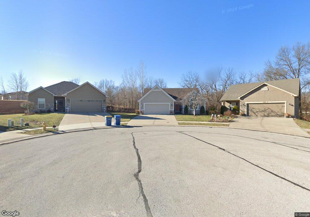
600 E Porter Ridge Ct Kearney, MO 64060
Estimated Value: $342,495 - $364,000
3
Beds
2
Baths
1,324
Sq Ft
$267/Sq Ft
Est. Value
About This Home
This home is located at 600 E Porter Ridge Ct, Kearney, MO 64060 and is currently estimated at $353,624, approximately $267 per square foot. 600 E Porter Ridge Ct is a home located in Clay County with nearby schools including Kearney Junior High School, Kearney High School, and Northern Hills Christian Academy.
Ownership History
Date
Name
Owned For
Owner Type
Purchase Details
Closed on
Jun 13, 2017
Sold by
Doss Keith E
Bought by
Dixin Karen Reese Revocable Trust
Current Estimated Value
Purchase Details
Closed on
Nov 2, 2006
Sold by
Couchman Construction Inc
Bought by
Bauer Robert A and Bauer Margaret Ann
Home Financials for this Owner
Home Financials are based on the most recent Mortgage that was taken out on this home.
Original Mortgage
$202,000
Interest Rate
6.37%
Mortgage Type
Purchase Money Mortgage
Purchase Details
Closed on
Jul 12, 2006
Sold by
Marimack Development Llc
Bought by
Couchman Construction Inc
Home Financials for this Owner
Home Financials are based on the most recent Mortgage that was taken out on this home.
Original Mortgage
$183,600
Interest Rate
6.62%
Mortgage Type
Construction
Create a Home Valuation Report for This Property
The Home Valuation Report is an in-depth analysis detailing your home's value as well as a comparison with similar homes in the area
Home Values in the Area
Average Home Value in this Area
Purchase History
| Date | Buyer | Sale Price | Title Company |
|---|---|---|---|
| Dixin Karen Reese Revocable Trust | -- | None Available | |
| Bauer Robert A | -- | Thomson Title Corporation | |
| Couchman Construction Inc | -- | Thomson Title Corporation |
Source: Public Records
Mortgage History
| Date | Status | Borrower | Loan Amount |
|---|---|---|---|
| Previous Owner | Bauer Robert A | $202,000 | |
| Previous Owner | Couchman Construction Inc | $183,600 |
Source: Public Records
Tax History
| Year | Tax Paid | Tax Assessment Tax Assessment Total Assessment is a certain percentage of the fair market value that is determined by local assessors to be the total taxable value of land and additions on the property. | Land | Improvement |
|---|---|---|---|---|
| 2025 | $3,253 | $51,970 | -- | -- |
| 2024 | $3,253 | $47,460 | -- | -- |
| 2023 | $3,241 | $47,460 | $0 | $0 |
| 2022 | $3,031 | $42,920 | $0 | $0 |
| 2021 | $2,875 | $41,534 | $7,220 | $34,314 |
| 2020 | $2,748 | $36,100 | $0 | $0 |
| 2019 | $2,733 | $36,100 | $0 | $0 |
Source: Public Records
Map
Nearby Homes
- 201 S Marimack Dr
- 905 Susan St
- 1102 Susan St
- 1202 Noah's Ln
- 102 W Lawrence St
- 1204 Noah's Ln
- 1209 Noah's Ln
- 9900 NE 172nd St
- 623 E 13th St
- 1300 Robin Cir
- 1307 Stonecrest Dr
- 402 E 14th St
- 1304 S Jefferson St
- 303 W 11th St
- 1300 Melissa Ct
- 1302 Regency Dr
- 1710 Rockwater Ln
- 1702 Bay Ct
- 1210 E 15th St
- 704 Feldspar St
- 602 E Porter Ridge Ct
- 601 E Porter Ridge Ct
- 604 E Porter Ridge Ct
- 603 E Porter Ridge Ct
- 606 E Porter Ridge Ct
- 605 E Porter Ridge Ct
- 607 E Porter Ridge Ct
- 608 E Porter Ridge Ct
- 609 E Porter Ridge Ct
- 612 E Porter Ridge Ct
- 613 E Porter Ridge Ct
- 314 S Marimack Dr
- 312 S Marimack Dr
- 207 S Marimack Dr
- 316 S Marimack Dr
- 614 E Porter Ridge Ct
- 400 S Marimack Dr
- 615 E Porter Ridge Ct
- 402 S Marimack Dr
- 420 Porter Ridge Rd
Your Personal Tour Guide
Ask me questions while you tour the home.