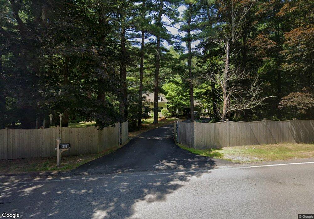
600 Elm St Walpole, MA 02081
Estimated Value: $721,734 - $917,000
3
Beds
2
Baths
1,445
Sq Ft
$575/Sq Ft
Est. Value
About This Home
This home is located at 600 Elm St, Walpole, MA 02081 and is currently estimated at $830,434, approximately $574 per square foot. 600 Elm St is a home located in Norfolk County with nearby schools including Elm Street School, Eleanor N. Johnson Middle School, and Walpole High School.
Ownership History
Date
Name
Owned For
Owner Type
Purchase Details
Closed on
Mar 20, 2023
Sold by
Wagonfeld Stuart
Bought by
Harte-Wagonfeld Ft
Current Estimated Value
Purchase Details
Closed on
Nov 14, 2003
Sold by
Torkelson Laurie A and Worlock Andrew J
Bought by
Wagonfeld Stuart and Harte Christine
Home Financials for this Owner
Home Financials are based on the most recent Mortgage that was taken out on this home.
Original Mortgage
$320,000
Interest Rate
5.81%
Mortgage Type
Purchase Money Mortgage
Purchase Details
Closed on
Sep 20, 1996
Sold by
Est Robinson Vera H and Robinson Ex George L
Bought by
Torkelson Laurie A
Home Financials for this Owner
Home Financials are based on the most recent Mortgage that was taken out on this home.
Original Mortgage
$178,000
Interest Rate
7.89%
Mortgage Type
Purchase Money Mortgage
Create a Home Valuation Report for This Property
The Home Valuation Report is an in-depth analysis detailing your home's value as well as a comparison with similar homes in the area
Home Values in the Area
Average Home Value in this Area
Purchase History
| Date | Buyer | Sale Price | Title Company |
|---|---|---|---|
| Harte-Wagonfeld Ft | -- | None Available | |
| Wagonfeld Stuart | $400,000 | -- | |
| Torkelson Laurie A | $222,500 | -- |
Source: Public Records
Mortgage History
| Date | Status | Borrower | Loan Amount |
|---|---|---|---|
| Previous Owner | Torkelson Laurie A | $320,000 | |
| Previous Owner | Torkelson Laurie A | $178,000 |
Source: Public Records
Tax History Compared to Growth
Tax History
| Year | Tax Paid | Tax Assessment Tax Assessment Total Assessment is a certain percentage of the fair market value that is determined by local assessors to be the total taxable value of land and additions on the property. | Land | Improvement |
|---|---|---|---|---|
| 2025 | $8,704 | $678,400 | $386,300 | $292,100 |
| 2024 | $8,494 | $642,500 | $373,400 | $269,100 |
| 2023 | $8,237 | $593,000 | $327,100 | $265,900 |
| 2022 | $7,777 | $537,800 | $301,200 | $236,600 |
| 2021 | $7,334 | $494,200 | $282,800 | $211,400 |
| 2020 | $7,270 | $485,000 | $268,900 | $216,100 |
| 2019 | $7,082 | $469,000 | $260,700 | $208,300 |
| 2018 | $6,630 | $434,200 | $250,200 | $184,000 |
| 2017 | $6,429 | $419,400 | $242,000 | $177,400 |
| 2016 | $6,180 | $397,200 | $236,300 | $160,900 |
| 2015 | $5,993 | $381,700 | $226,900 | $154,800 |
| 2014 | $5,762 | $365,600 | $226,900 | $138,700 |
Source: Public Records
Map
Nearby Homes
- 115 High St
- 11 Garry Dr
- 74 Granite St
- 260 Elm St
- 12 Timberline Dr Unit 28
- 246 Pemberton St
- 19 and 23 Arlington Ln
- 137 Clear Pond Dr
- 881 Main St Unit 9
- 127 Clear Pond Dr
- 31 Sandtrap Cir Unit 500
- 25 Sandtrap Cir Unit 8
- 27 Sandtrip Cir Unit 7
- 10 Sandtrap Cir Unit 2
- 111 Elm St
- 13 Sandtrap Cir Unit 14
- 11 Sandtrap Cir Unit 15
- 20 Sandtrap Cir Unit 4
- 19 Sandtrap Cir Unit 11
- 18 Sandtrap Cir Unit 3