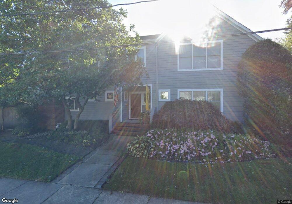
600 First St Annapolis, MD 21403
Eastport NeighborhoodEstimated Value: $1,590,889 - $1,922,000
Studio
3
Baths
2,871
Sq Ft
$623/Sq Ft
Est. Value
About This Home
This home is located at 600 First St, Annapolis, MD 21403 and is currently estimated at $1,789,472, approximately $623 per square foot. 600 First St is a home located in Anne Arundel County with nearby schools including Eastport Elementary School, Annapolis Middle School, and Annapolis High School.
Ownership History
Date
Name
Owned For
Owner Type
Purchase Details
Closed on
Nov 16, 1993
Sold by
Belknap E S
Bought by
Handelman Joseph G
Current Estimated Value
Home Financials for this Owner
Home Financials are based on the most recent Mortgage that was taken out on this home.
Original Mortgage
$242,400
Interest Rate
6.79%
Create a Home Valuation Report for This Property
The Home Valuation Report is an in-depth analysis detailing your home's value as well as a comparison with similar homes in the area
Home Values in the Area
Average Home Value in this Area
Purchase History
| Date | Buyer | Sale Price | Title Company |
|---|---|---|---|
| Handelman Joseph G | $89,000 | -- |
Source: Public Records
Mortgage History
| Date | Status | Borrower | Loan Amount |
|---|---|---|---|
| Closed | Handelman Joseph G | $242,400 |
Source: Public Records
Tax History
| Year | Tax Paid | Tax Assessment Tax Assessment Total Assessment is a certain percentage of the fair market value that is determined by local assessors to be the total taxable value of land and additions on the property. | Land | Improvement |
|---|---|---|---|---|
| 2025 | $11,513 | $1,220,733 | -- | -- |
| 2024 | $11,513 | $1,071,467 | $0 | $0 |
| 2023 | $10,668 | $922,200 | $526,700 | $395,500 |
| 2022 | $10,344 | $905,600 | $0 | $0 |
| 2021 | $9,963 | $889,000 | $0 | $0 |
| 2020 | $9,963 | $872,400 | $498,700 | $373,700 |
| 2019 | $9,918 | $872,400 | $498,700 | $373,700 |
| 2018 | $9,781 | $872,400 | $498,700 | $373,700 |
| 2017 | $9,063 | $884,500 | $0 | $0 |
| 2016 | -- | $833,700 | $0 | $0 |
| 2015 | -- | $782,900 | $0 | $0 |
| 2014 | -- | $732,100 | $0 | $0 |
Source: Public Records
Map
Nearby Homes
- 120 Chesapeake Ave
- 513 Horn Point Dr
- 200 Chesapeake Ave
- 320 Chester Ave
- 422 Third St
- 400 Chesapeake Ave Unit 2-101
- 312 Severn Ave
- 312 Severn Ave Unit W-401
- 312 Severn Ave
- 3 Klakring Ct
- 301 Burnside St
- 7101 Bay Front Dr Unit 204
- 7101 Bay Front Dr Unit 301
- 289 State St Unit 4
- 287 State St Unit 2
- 2010 Quay Village Ct Unit 201
- 2010 Quay Village Ct Unit 101
- 9 Shipwright St
- 1 Shipwright Harbor
- 7002 Channel Village Ct Unit 101
- 105 Chester Ave
- 107 Chester Ave
- 109 Chester Ave
- 608 First St
- 111 Chester Ave
- 603 First St
- 113 Chester Ave
- 108 Chester Ave
- 605 First St
- 601 First St
- 115 Chester Ave
- 100 Eastern Ave
- 530 First St
- 102 Eastern Ave
- 30 Eastern Ave
- 110 Chester Ave
- 119 Chester Ave
- 523 First St
- 112 Chester Ave
- 108 Eastern Ave
Your Personal Tour Guide
Ask me questions while you tour the home.