600 Frigate Rdw Ocean Beach, NY 11770
Western Fire Island NeighborhoodEstimated Value: $1,424,042 - $2,292,000
--
Bed
--
Bath
--
Sq Ft
4,792
Sq Ft Lot
About This Home
This home is located at 600 Frigate Rdw, Ocean Beach, NY 11770 and is currently estimated at $1,864,014. 600 Frigate Rdw is a home.
Ownership History
Date
Name
Owned For
Owner Type
Purchase Details
Closed on
Aug 9, 2022
Sold by
145 Ocean Roadway Hl Corp
Bought by
Ornstein Gus and Ornstein Lindsay
Current Estimated Value
Purchase Details
Closed on
Nov 22, 2016
Sold by
Nolter Bonnie and Nolter Thomas J
Bought by
145 Ocean Roadway Holding Corporation
Home Financials for this Owner
Home Financials are based on the most recent Mortgage that was taken out on this home.
Original Mortgage
$300,000
Interest Rate
3.47%
Mortgage Type
New Conventional
Purchase Details
Closed on
Jul 8, 2004
Sold by
Smith Judith Johnson
Bought by
Nolter Thomas J and Nolter Bonnie
Purchase Details
Closed on
May 10, 2001
Sold by
Johnson Ruth
Bought by
Smith Judith Johnson
Create a Home Valuation Report for This Property
The Home Valuation Report is an in-depth analysis detailing your home's value as well as a comparison with similar homes in the area
Home Values in the Area
Average Home Value in this Area
Purchase History
| Date | Buyer | Sale Price | Title Company |
|---|---|---|---|
| Ornstein Gus | $675,000 | None Available | |
| Ornstein Gus | $675,000 | None Available | |
| 145 Ocean Roadway Holding Corporation | $400,000 | None Available | |
| 145 Ocean Roadway Holding Corporation | $400,000 | None Available | |
| Nolter Thomas J | $190,000 | Judicial Title | |
| Nolter Thomas J | $190,000 | Judicial Title | |
| Smith Judith Johnson | -- | -- | |
| Smith Judith Johnson | -- | -- |
Source: Public Records
Mortgage History
| Date | Status | Borrower | Loan Amount |
|---|---|---|---|
| Previous Owner | 145 Ocean Roadway Holding Corporation | $300,000 |
Source: Public Records
Tax History Compared to Growth
Tax History
| Year | Tax Paid | Tax Assessment Tax Assessment Total Assessment is a certain percentage of the fair market value that is determined by local assessors to be the total taxable value of land and additions on the property. | Land | Improvement |
|---|---|---|---|---|
| 2024 | -- | $115,400 | $35,000 | $80,400 |
| 2023 | -- | $57,000 | $35,000 | $22,000 |
| 2022 | $5,787 | $35,000 | $35,000 | $0 |
| 2021 | $5,787 | $35,000 | $35,000 | $0 |
| 2020 | $5,787 | $35,000 | $35,000 | $0 |
| 2019 | $5,787 | $0 | $0 | $0 |
| 2018 | $0 | $35,000 | $35,000 | $0 |
| 2017 | $2,821 | $35,000 | $35,000 | $0 |
| 2016 | $5,858 | $75,000 | $35,000 | $40,000 |
| 2015 | -- | $75,000 | $35,000 | $40,000 |
| 2014 | -- | $75,000 | $35,000 | $40,000 |
Source: Public Records
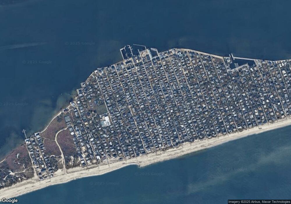
Map
Nearby Homes
- 108 Ocean Rd
- 125 Ocean Rd
- 39 Sloop Walk
- 24 Bungalow Walk
- 22 Bungalow Walk
- 329 Bay Walk
- 319 Wilmot Rd
- 291 Cottage Walk
- 165 Bay Walk
- 510 Bayberry Walk
- 597 Bayberry Walk
- 748 Ocean Breeze
- 485 Bayberry Walk
- 987 Surfview Walk
- 976 Surfview Walk
- 919 Evergreen Walk
- 12 Surfview Walk
- 917 E End Walk
- 19 Crescent Ave
- 46 Crescent Ave