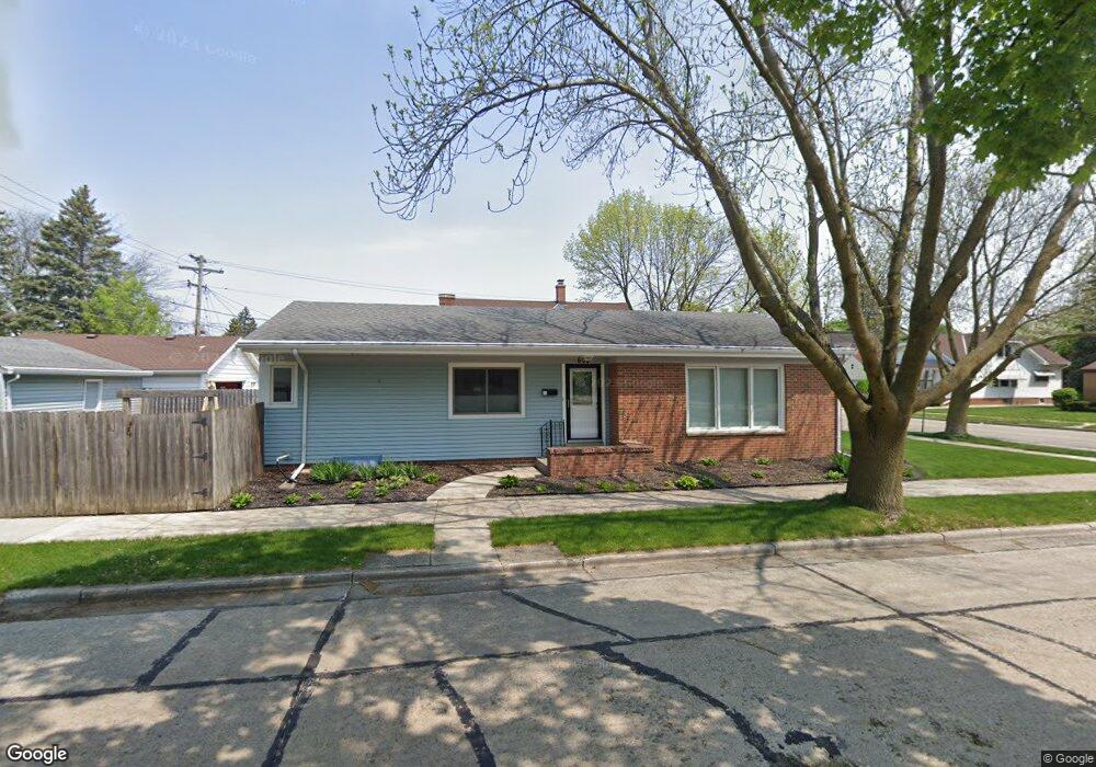
600 Isabelle Ave Racine, WI 53402
Wolffs Town NeighborhoodEstimated Value: $244,000 - $267,000
3
Beds
1
Bath
1,341
Sq Ft
$188/Sq Ft
Est. Value
About This Home
This home is located at 600 Isabelle Ave, Racine, WI 53402 and is currently estimated at $252,659, approximately $188 per square foot. 600 Isabelle Ave is a home located in Racine County with nearby schools including Jerstad-Agerholm Elementary School, Jerstad-Agerholm Middle School, and Horlick High School.
Ownership History
Date
Name
Owned For
Owner Type
Purchase Details
Closed on
May 15, 2013
Sold by
Stoneburner Colleen L
Bought by
Colleen L Stoneburner Living Trust
Current Estimated Value
Purchase Details
Closed on
May 21, 2010
Sold by
Sanders Randel V and Sanders Laura E
Bought by
Stoneburner Collen L
Home Financials for this Owner
Home Financials are based on the most recent Mortgage that was taken out on this home.
Original Mortgage
$90,000
Outstanding Balance
$60,589
Interest Rate
5.14%
Mortgage Type
Stand Alone Second
Estimated Equity
$192,070
Purchase Details
Closed on
May 12, 2008
Sold by
Canaday Michael W and Canaday Sarah E
Bought by
Sanders Randel V
Home Financials for this Owner
Home Financials are based on the most recent Mortgage that was taken out on this home.
Original Mortgage
$108,000
Interest Rate
5.87%
Mortgage Type
New Conventional
Create a Home Valuation Report for This Property
The Home Valuation Report is an in-depth analysis detailing your home's value as well as a comparison with similar homes in the area
Home Values in the Area
Average Home Value in this Area
Purchase History
| Date | Buyer | Sale Price | Title Company |
|---|---|---|---|
| Colleen L Stoneburner Living Trust | -- | None Available | |
| Stoneburner Collen L | $130,000 | Landmark Title Of Racine Inc | |
| Sanders Randel V | $135,000 | Lakeside Title And Closing S |
Source: Public Records
Mortgage History
| Date | Status | Borrower | Loan Amount |
|---|---|---|---|
| Open | Stoneburner Collen L | $90,000 | |
| Previous Owner | Sanders Randel V | $108,000 |
Source: Public Records
Tax History Compared to Growth
Tax History
| Year | Tax Paid | Tax Assessment Tax Assessment Total Assessment is a certain percentage of the fair market value that is determined by local assessors to be the total taxable value of land and additions on the property. | Land | Improvement |
|---|---|---|---|---|
| 2024 | $5,138 | $222,400 | $20,000 | $202,400 |
| 2023 | $4,893 | $204,000 | $20,000 | $184,000 |
| 2022 | $4,414 | $182,000 | $20,000 | $162,000 |
| 2021 | $4,483 | $165,000 | $20,000 | $145,000 |
| 2020 | $4,459 | $165,000 | $20,000 | $145,000 |
| 2019 | $3,859 | $145,000 | $20,000 | $125,000 |
| 2018 | $3,702 | $122,000 | $20,000 | $102,000 |
| 2017 | $3,621 | $122,000 | $20,000 | $102,000 |
| 2016 | $3,453 | $114,000 | $20,000 | $94,000 |
| 2015 | $3,437 | $110,000 | $20,000 | $90,000 |
| 2014 | $3,437 | $110,000 | $20,000 | $90,000 |
| 2013 | $3,437 | $118,000 | $23,600 | $94,400 |
Source: Public Records
Map
Nearby Homes
- 517 Melvin Ave
- 807 Florence Ave
- 819 Florence Ave
- 2700 Lasalle St
- 1019 Kingston Ave
- 501 South St
- 737 South St
- 3200 N Main St
- 3109 N Main St
- 2326 Saint Clair St
- 2320 N Main St
- 1124 Kingston Ave
- 3100 Geneva St
- 2206 N Main St
- 3345 N Main St
- 3225 Michigan Blvd
- 3422 Stratford Ave
- 465 Dena Cir
- 2621 Cottonwood Ct
- 3452 1st Ave