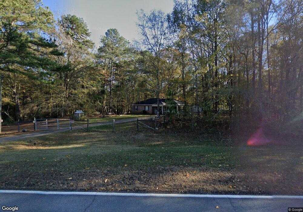
600 Long Cane Rd Lagrange, GA 30240
Estimated Value: $177,213 - $216,000
3
Beds
1
Bath
1,048
Sq Ft
$184/Sq Ft
Est. Value
About This Home
This home is located at 600 Long Cane Rd, Lagrange, GA 30240 and is currently estimated at $193,053, approximately $184 per square foot. 600 Long Cane Rd is a home located in Troup County with nearby schools including Long Cane Elementary School, Whitesville Road Elementary School, and West Point Elementary School.
Ownership History
Date
Name
Owned For
Owner Type
Purchase Details
Closed on
Jun 7, 2007
Sold by
Gosdin Winston E
Bought by
Pittman Kenneth
Current Estimated Value
Home Financials for this Owner
Home Financials are based on the most recent Mortgage that was taken out on this home.
Original Mortgage
$94,000
Outstanding Balance
$56,397
Interest Rate
6.1%
Mortgage Type
New Conventional
Estimated Equity
$136,656
Purchase Details
Closed on
Dec 1, 1993
Sold by
William L Hutchinson
Bought by
Winston E Gosdin
Create a Home Valuation Report for This Property
The Home Valuation Report is an in-depth analysis detailing your home's value as well as a comparison with similar homes in the area
Purchase History
| Date | Buyer | Sale Price | Title Company |
|---|---|---|---|
| Pittman Kenneth | $94,000 | -- | |
| Winston E Gosdin | -- | -- |
Source: Public Records
Mortgage History
| Date | Status | Borrower | Loan Amount |
|---|---|---|---|
| Open | Pittman Kenneth | $94,000 |
Source: Public Records
Tax History
| Year | Tax Paid | Tax Assessment Tax Assessment Total Assessment is a certain percentage of the fair market value that is determined by local assessors to be the total taxable value of land and additions on the property. | Land | Improvement |
|---|---|---|---|---|
| 2025 | $1,268 | $57,040 | $5,000 | $52,040 |
| 2024 | $1,268 | $48,480 | $5,000 | $43,480 |
| 2023 | $1,080 | $41,600 | $5,000 | $36,600 |
| 2022 | $1,040 | $39,240 | $5,000 | $34,240 |
| 2021 | $740 | $26,520 | $3,600 | $22,920 |
| 2020 | $740 | $26,520 | $3,600 | $22,920 |
| 2019 | $571 | $24,600 | $3,600 | $21,000 |
| 2018 | $623 | $22,640 | $3,600 | $19,040 |
| 2017 | $623 | $22,640 | $3,600 | $19,040 |
| 2016 | $625 | $22,718 | $3,600 | $19,118 |
| 2015 | $627 | $22,718 | $3,600 | $19,118 |
| 2014 | $597 | $21,712 | $3,600 | $18,112 |
| 2013 | -- | $23,264 | $3,600 | $19,664 |
Source: Public Records
Map
Nearby Homes
- 0 Robert Hayes Rd Unit 10611067
- 1248 Cannonville Rd
- 102 Bridgewater Dr
- 5714 W Point Rd
- 118 Woodstream Trail
- 106 Woodstream Trail
- 0 Cannonville Rd
- 107 Waters Edge Dr
- Sandtown Road Unit: 1 2+ - Acre
- 0 Sandtown Rd Unit 10255987
- 3835 W Point Rd
- 0 Lambert Rd
- 0 Warner Rd Unit 10686116
- 640 Hudson Rd
- 648 Warner Rd
- 0 Hanson Dr Unit 10641272
- 275 Hanson Dr
- 266 Glass Bridge Rd
- 22 Freeman Rd
- 0 Glass Bridge Rd Unit 10679358
- 0 Cannonville Rd Unit 23060653
- 0 Cannonville Rd Unit 7358330
- 0 Cannonville Rd Unit 7348020
- 0 Cannonville Rd Unit 8868269
- 0 Cannonville Rd Unit Lot 96 8487655
- 660 Long Cane Rd
- 780 Long Cane Rd
- 680 Long Cane Rd
- 790 Long Cane Rd
- 248 Robert Taylor Rd
- 272 Robert Taylor Rd
- 220 Robert Taylor Rd
- 210 Robert Taylor Rd
- 226 Robert Taylor Rd
- 236 Robert Taylor Rd
- 320 Robert Taylor Rd
- 186 Robert Taylor Rd
- 477 Long Cane Rd
- 176 Robert Taylor Rd
- 0 Robert Hayes Rd Unit 8309783