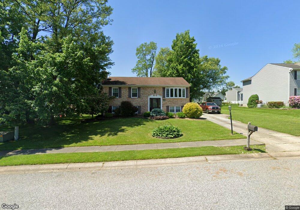
600 Mauser Dr Bel Air, MD 21015
Estimated Value: $384,182 - $485,000
--
Bed
2
Baths
1,040
Sq Ft
$414/Sq Ft
Est. Value
About This Home
This home is located at 600 Mauser Dr, Bel Air, MD 21015 and is currently estimated at $430,546, approximately $413 per square foot. 600 Mauser Dr is a home located in Harford County with nearby schools including Fountain Green Elementary School, Southampton Middle School, and C. Milton Wright High School.
Ownership History
Date
Name
Owned For
Owner Type
Purchase Details
Closed on
Apr 28, 2004
Sold by
Dawson Charles R
Bought by
Dawson Charles R and Dawson Marcella
Current Estimated Value
Purchase Details
Closed on
Jan 21, 2004
Sold by
Dawson Charles R
Bought by
Dawson Charles R and Dawson Marcella
Purchase Details
Closed on
Apr 23, 2002
Sold by
Woolford Properties Llc
Bought by
Dawson Cvharles R
Purchase Details
Closed on
Dec 5, 2001
Sold by
Larkin David E
Bought by
Woolford Properties Llc
Purchase Details
Closed on
Jun 17, 1997
Sold by
Chalk James S
Bought by
Larkin David E
Create a Home Valuation Report for This Property
The Home Valuation Report is an in-depth analysis detailing your home's value as well as a comparison with similar homes in the area
Home Values in the Area
Average Home Value in this Area
Purchase History
| Date | Buyer | Sale Price | Title Company |
|---|---|---|---|
| Dawson Charles R | -- | -- | |
| Dawson Charles R | -- | -- | |
| Dawson Cvharles R | $169,500 | -- | |
| Woolford Properties Llc | $122,000 | -- | |
| Larkin David E | $128,000 | -- |
Source: Public Records
Mortgage History
| Date | Status | Borrower | Loan Amount |
|---|---|---|---|
| Closed | Dawson Charles R | -- |
Source: Public Records
Tax History Compared to Growth
Tax History
| Year | Tax Paid | Tax Assessment Tax Assessment Total Assessment is a certain percentage of the fair market value that is determined by local assessors to be the total taxable value of land and additions on the property. | Land | Improvement |
|---|---|---|---|---|
| 2025 | $3,265 | $317,400 | $97,700 | $219,700 |
| 2024 | $3,265 | $302,100 | $0 | $0 |
| 2023 | $3,109 | $286,800 | $0 | $0 |
| 2022 | $2,959 | $271,500 | $97,700 | $173,800 |
| 2021 | $3,007 | $266,033 | $0 | $0 |
| 2020 | $3,007 | $260,567 | $0 | $0 |
| 2019 | $2,944 | $255,100 | $112,600 | $142,500 |
| 2018 | $2,879 | $251,767 | $0 | $0 |
| 2017 | $2,841 | $255,100 | $0 | $0 |
| 2016 | -- | $245,100 | $0 | $0 |
| 2015 | $2,790 | $244,733 | $0 | $0 |
| 2014 | $2,790 | $244,367 | $0 | $0 |
Source: Public Records
Map
Nearby Homes
- 602 Flintlock Dr
- 1505 Southview Rd
- 1108 Parthenon Ct
- 302 S Fountain Green Rd
- 1622 Shady Tree Ct
- 1620 Shady Tree Ct
- 1618 Shady Tree Ct
- 203 Wagner Rd
- 1614 Shady Tree Ct
- 1612 Shady Tree Ct
- 1619 Shady Tree Ct
- 1617 Shady Tree Ct
- 1613 Shady Tree Ct
- 1609 Shady Tree Ct
- 1607 Shady Tree Ct
- 1605 Shady Tree Ct
- Yorktown Plan at Roberts Crossing
- Coronado Plan at Roberts Crossing
- Hemingway Plan at Roberts Crossing
- 1105 Andreas Dr