600 Melglen Ln Coudersport, PA 16915
Estimated Value: $112,416 - $197,000
--
Bed
--
Bath
960
Sq Ft
$172/Sq Ft
Est. Value
About This Home
This home is located at 600 Melglen Ln, Coudersport, PA 16915 and is currently estimated at $165,354, approximately $172 per square foot. 600 Melglen Ln is a home located in Potter County with nearby schools including Coudersport Area Elementary School and Coudersport Area Junior/Senior High School.
Ownership History
Date
Name
Owned For
Owner Type
Purchase Details
Closed on
May 14, 2011
Sold by
Sterner Keith
Bought by
Warner Donald C
Current Estimated Value
Home Financials for this Owner
Home Financials are based on the most recent Mortgage that was taken out on this home.
Original Mortgage
$68,440
Outstanding Balance
$47,409
Interest Rate
4.81%
Mortgage Type
VA
Estimated Equity
$117,945
Create a Home Valuation Report for This Property
The Home Valuation Report is an in-depth analysis detailing your home's value as well as a comparison with similar homes in the area
Home Values in the Area
Average Home Value in this Area
Purchase History
| Date | Buyer | Sale Price | Title Company |
|---|---|---|---|
| Warner Donald C | $67,000 | None Available |
Source: Public Records
Mortgage History
| Date | Status | Borrower | Loan Amount |
|---|---|---|---|
| Open | Warner Donald C | $68,440 |
Source: Public Records
Tax History Compared to Growth
Tax History
| Year | Tax Paid | Tax Assessment Tax Assessment Total Assessment is a certain percentage of the fair market value that is determined by local assessors to be the total taxable value of land and additions on the property. | Land | Improvement |
|---|---|---|---|---|
| 2025 | $2,110 | $28,200 | $5,520 | $22,680 |
| 2024 | $1,955 | $28,200 | $5,520 | $22,680 |
| 2023 | $1,899 | $28,200 | $5,520 | $22,680 |
| 2022 | $1,857 | $28,200 | $5,520 | $22,680 |
| 2021 | $1,857 | $28,200 | $5,520 | $22,680 |
| 2020 | $1,857 | $28,200 | $5,520 | $22,680 |
| 2019 | $1,857 | $28,200 | $5,520 | $22,680 |
| 2018 | $1,828 | $28,200 | $5,520 | $22,680 |
| 2017 | -- | $28,200 | $5,520 | $22,680 |
| 2016 | $1,800 | $28,200 | $5,520 | $22,680 |
| 2015 | -- | $28,200 | $5,520 | $22,680 |
| 2012 | -- | $28,200 | $5,520 | $22,680 |
Source: Public Records
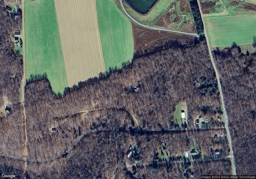
Map
Nearby Homes
- 1060 Brookland Rd
- 00 Brookland Rd
- 1070
- 1060 Brookland Road (Lot C)
- 130 Cherry Springs Rd
- 151 Ice Mine Rd
- 860 Cherry Springs Rd
- 230 Howards Dr
- 00 Buffalo St
- 170 Sunrise Ridge Rd
- 15 Troupe Rd
- Lot 4 Crandall St
- 32 Phoebe Ln
- 514 Kidney Rd
- 1574 N Ayers Hill Rd
- 478 E 2nd St
- 313 N Brookland Rd
- 313 N Brookland Rd N
- 0 N Brookland Rd Unit 31722991
- 787 Us Highway 6