Estimated Value: $137,000 - $169,000
Studio
1
Bath
1,320
Sq Ft
$115/Sq Ft
Est. Value
About This Home
This home is located at 600 Ml Wilson Rd, Rison, AR 71665 and is currently estimated at $152,437, approximately $115 per square foot. 600 Ml Wilson Rd is a home located in Cleveland County with nearby schools including Woodlawn Elementary School and Woodlawn High School.
Ownership History
Date
Name
Owned For
Owner Type
Purchase Details
Closed on
Dec 7, 2015
Bought by
Ashcraft Anthony Steve and Ashcraft Gennaifer
Current Estimated Value
Home Financials for this Owner
Home Financials are based on the most recent Mortgage that was taken out on this home.
Original Mortgage
$1,000,000
Interest Rate
3.88%
Mortgage Type
Purchase Money Mortgage
Purchase Details
Closed on
Jan 1, 1998
Bought by
Parrish Donald E Parrish Donal
Purchase Details
Closed on
Jan 1, 1901
Bought by
Mcfarland Joyce Mcfarland Joyc
Create a Home Valuation Report for This Property
The Home Valuation Report is an in-depth analysis detailing your home's value as well as a comparison with similar homes in the area
Purchase History
| Date | Buyer | Sale Price | Title Company |
|---|---|---|---|
| Ashcraft Anthony Steve | $80,000 | -- | |
| Parrish Donald E Parrish Donal | -- | -- | |
| Mcfarland Joyce Mcfarland Joyc | -- | -- |
Source: Public Records
Mortgage History
| Date | Status | Borrower | Loan Amount |
|---|---|---|---|
| Closed | Ashcraft Anthony Steve | $1,000,000 |
Source: Public Records
Tax History
| Year | Tax Paid | Tax Assessment Tax Assessment Total Assessment is a certain percentage of the fair market value that is determined by local assessors to be the total taxable value of land and additions on the property. | Land | Improvement |
|---|---|---|---|---|
| 2025 | $359 | $21,130 | $3,540 | $17,590 |
| 2024 | $359 | $17,760 | $3,880 | $13,880 |
| 2023 | $393 | $18,550 | $3,800 | $14,750 |
| 2022 | $478 | $18,550 | $3,800 | $14,750 |
| 2021 | $478 | $18,550 | $3,800 | $14,750 |
| 2020 | $478 | $18,550 | $3,800 | $14,750 |
| 2019 | $446 | $18,550 | $3,800 | $14,750 |
| 2018 | $432 | $17,000 | $2,900 | $14,100 |
| 2017 | $771 | $16,750 | $2,900 | $13,850 |
| 2015 | -- | $12,250 | $2,900 | $9,350 |
| 2014 | -- | $12,250 | $2,900 | $9,350 |
| 2013 | -- | $12,250 | $2,900 | $9,350 |
Source: Public Records
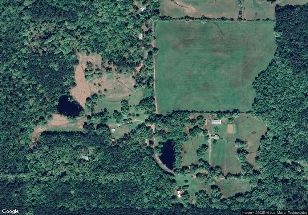
Map
Nearby Homes
- 430 Ml Wilson Rd
- 900 Southwood Ln
- 800 Southwood Ln
- 600 Southwood Ln
- 700 Southwood Ln
- 500 Southwood Ln
- 400 Southwood Ln
- 100 Southwood Ln
- 200 Southwood Ln
- 280 Vinson Ln
- 270 Rowell Rd W
- John Hollis Rd
- 0 Big Creek Rd
- 14930 Highway 63
- TBD John M Hollis Rd
- 0 Burkhardt Dr
- 1230 Crook Ln
- 7581 Arkansas 35
- 7510 Highway 35 S
- 7460 Highway 35 S
- 400 Ml Wilson Rd
- 580 Ml Wilson Rd
- 9920 Highway 63
- 9920 Highway 63
- 220 Ml Wilson Rd
- 10140 Highway 63
- 10160 Highway 63
- 9890 Highway 63
- 9680 Highway 63
- 9680 Highway 63
- 10250 Highway 63
- 9580 Highway 63
- 9580 Highway 63
- 9750 Highway 63
- 60 Vernon Rd
- 9570 Highway 63
- 10450 Highway 63
- 206 Homer Johnston Rd
- 920 Homer Johnston Rd
- 660 Homer Johnston Rd
Your Personal Tour Guide
Ask me questions while you tour the home.