600 Pauls Rd Point Roberts, WA 98281
Estimated Value: $511,000 - $921,124
3
Beds
1
Bath
1,174
Sq Ft
$606/Sq Ft
Est. Value
About This Home
This home is located at 600 Pauls Rd, Point Roberts, WA 98281 and is currently estimated at $711,531, approximately $606 per square foot. 600 Pauls Rd is a home located in Whatcom County with nearby schools including Point Roberts Primary School, Blaine Middle School, and Blaine High School.
Ownership History
Date
Name
Owned For
Owner Type
Purchase Details
Closed on
Jan 26, 2024
Sold by
Dehaan Jason F and Dehaan Katherine M
Bought by
Dehaan Jason F and Dehaan Katherine M
Current Estimated Value
Home Financials for this Owner
Home Financials are based on the most recent Mortgage that was taken out on this home.
Original Mortgage
$610,500
Outstanding Balance
$597,574
Interest Rate
5.63%
Mortgage Type
FHA
Estimated Equity
$113,957
Purchase Details
Closed on
Sep 22, 2020
Sold by
Dehaan Pauline E
Bought by
Dehaan Jason F
Purchase Details
Closed on
Feb 22, 2005
Sold by
Dehaan Pauline E and Estate Of Victor Iwersen
Bought by
Dehaan Pauline E
Create a Home Valuation Report for This Property
The Home Valuation Report is an in-depth analysis detailing your home's value as well as a comparison with similar homes in the area
Home Values in the Area
Average Home Value in this Area
Purchase History
| Date | Buyer | Sale Price | Title Company |
|---|---|---|---|
| Dehaan Jason F | $313 | Fidelity National Title | |
| Dehaan Jason F | -- | None Available | |
| Dehaan Pauline E | -- | -- |
Source: Public Records
Mortgage History
| Date | Status | Borrower | Loan Amount |
|---|---|---|---|
| Open | Dehaan Jason F | $610,500 |
Source: Public Records
Tax History Compared to Growth
Tax History
| Year | Tax Paid | Tax Assessment Tax Assessment Total Assessment is a certain percentage of the fair market value that is determined by local assessors to be the total taxable value of land and additions on the property. | Land | Improvement |
|---|---|---|---|---|
| 2024 | $7,296 | $928,506 | $756,789 | $171,717 |
| 2023 | $7,296 | $928,506 | $756,789 | $171,717 |
| 2022 | $5,248 | $871,837 | $710,600 | $161,237 |
| 2021 | $5,626 | $548,468 | $443,113 | $105,355 |
| 2020 | $5,817 | $548,468 | $443,113 | $105,355 |
| 2019 | $5,501 | $548,468 | $443,113 | $105,355 |
| 2018 | $5,565 | $505,306 | $415,600 | $89,706 |
| 2017 | $4,917 | $485,372 | $415,600 | $69,772 |
| 2016 | $5,618 | $485,372 | $415,600 | $69,772 |
| 2015 | $5,718 | $539,292 | $415,600 | $123,692 |
| 2014 | -- | $539,292 | $415,600 | $123,692 |
| 2013 | -- | $539,292 | $415,600 | $123,692 |
Source: Public Records
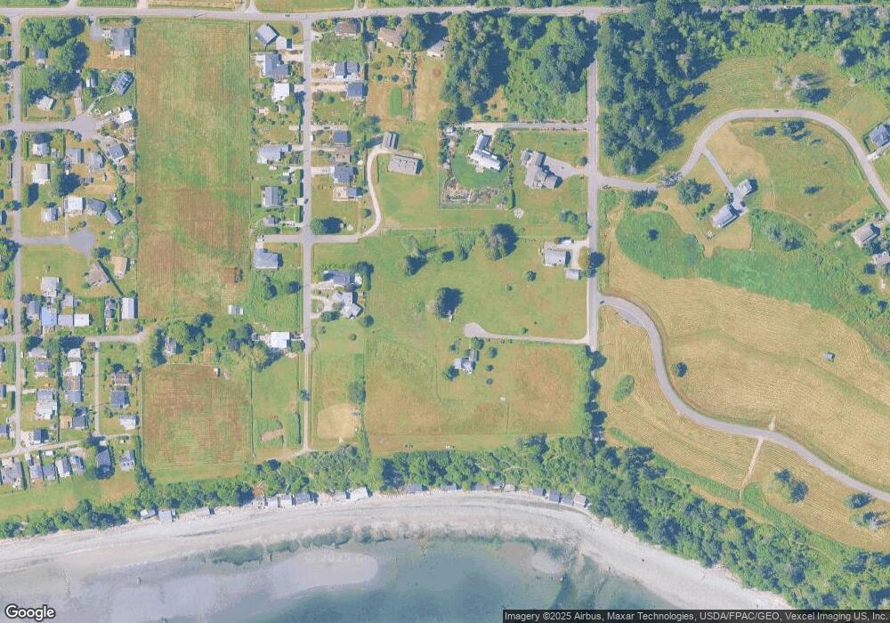
Map
Nearby Homes
- 2045 Apa Rd
- 675 Sylvia Dr
- 2250 Seabright Loop
- 2149 Seabright Loop
- 2246 Seabright Loop
- 2242 Seabright Loop
- 2128 Seabright Loop
- 2202 Seabright Loop
- 58 Seabright Loop
- 1934 Waters Rd
- 698 Kendor Dr
- 661 Driftwood Ln
- 1940 Apa Rd
- 634 S Beach Rd
- 1911 Apa Rd
- 1881 Edwards Dr
- 1976 Cedar Park Dr
- 500 Moose Trail
- lot 14 Cedar Park Dr Unit 14
- Lot 2 Greenwood Dr
- 670 Highland Dr
- 660 Highland Dr
- 2044 Cliffside Dr
- 655 Pauls Rd
- 643 Pauls Rd
- 675 Highland Dr
- 2050 Cliffside Dr
- 2031 Cliffside Dr
- 631 Pauls Rd
- 636 Highland Dr
- 632 Highland Dr
- 643 Highland Dr
- 628 Highland Dr
- 633 Highland Dr
- 620 Highland Dr
- 0 L26 Highland Dr
- 698 Highland Dr
- 2067 Apa Rd
- 2270 Seabright Loop
- 614 Highland Dr