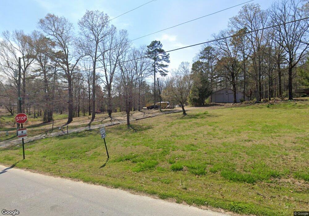
600 Pine Rd Rockmart, GA 30153
Estimated Value: $220,000 - $380,000
3
Beds
2
Baths
1,935
Sq Ft
$155/Sq Ft
Est. Value
About This Home
This home is located at 600 Pine Rd, Rockmart, GA 30153 and is currently estimated at $299,948, approximately $155 per square foot. 600 Pine Rd is a home located in Polk County with nearby schools including Rockmart Middle School.
Ownership History
Date
Name
Owned For
Owner Type
Purchase Details
Closed on
Sep 30, 2021
Sold by
Lester Devin
Bought by
Lester Devin and Lester Courtney
Current Estimated Value
Home Financials for this Owner
Home Financials are based on the most recent Mortgage that was taken out on this home.
Original Mortgage
$226,565
Outstanding Balance
$206,606
Interest Rate
2.8%
Mortgage Type
New Conventional
Estimated Equity
$93,342
Purchase Details
Closed on
May 23, 1977
Bought by
Estes Charles and Estes Mary
Create a Home Valuation Report for This Property
The Home Valuation Report is an in-depth analysis detailing your home's value as well as a comparison with similar homes in the area
Home Values in the Area
Average Home Value in this Area
Purchase History
| Date | Buyer | Sale Price | Title Company |
|---|---|---|---|
| Lester Devin | -- | -- | |
| Lester Devin | $224,300 | -- | |
| Estes Charles | -- | -- |
Source: Public Records
Mortgage History
| Date | Status | Borrower | Loan Amount |
|---|---|---|---|
| Open | Lester Devin | $226,565 |
Source: Public Records
Tax History Compared to Growth
Tax History
| Year | Tax Paid | Tax Assessment Tax Assessment Total Assessment is a certain percentage of the fair market value that is determined by local assessors to be the total taxable value of land and additions on the property. | Land | Improvement |
|---|---|---|---|---|
| 2024 | $1,937 | $94,680 | $14,400 | $80,280 |
| 2023 | $1,707 | $71,928 | $14,400 | $57,528 |
| 2022 | $1,458 | $61,440 | $9,600 | $51,840 |
| 2021 | $747 | $63,084 | $11,244 | $51,840 |
| 2020 | $749 | $63,084 | $11,244 | $51,840 |
| 2019 | $1,102 | $54,374 | $11,244 | $43,130 |
| 2018 | $1,240 | $58,349 | $16,120 | $42,229 |
| 2017 | $1,221 | $58,349 | $16,120 | $42,229 |
| 2016 | $1,143 | $55,518 | $13,290 | $42,229 |
| 2015 | $1,152 | $55,774 | $13,290 | $42,484 |
| 2014 | $1,159 | $55,774 | $13,290 | $42,484 |
Source: Public Records
Map
Nearby Homes
- 332 Stringer Rd
- 93 Clay Rd
- 1039 Old Cedartown Rd
- 184 Morgan Ln
- 18 Hillside Dr
- 155 Government Farm Rd
- 0 Morgan Valley Rd Unit 25693839
- 1157 Stringer Rd
- 865 Morgan Valley Rd
- 107 Main Line Rd
- 1714 Cedartown Hwy
- 1907 Old Cedartown Rd
- 11 Lee St
- 92 Autumn Path
- 2020 Old Cedartown Rd
- 1211 Bellview Rd
- 0 Pine Mountain St Unit 10620510
- 0 Pine Mountain St Unit 10620492
- 318 Morgan Valley Rd
- 0 Tolbert Town Rd Unit 10640593
- 512 Pine Rd
- 476 Lakeview Rd
- 462 Lakeview Rd
- 446 Lakeview Rd
- 461 Lakeview Rd
- 428 Lakeview Rd
- 576 Lakeview Rd
- 476 Pine Rd
- 445 Lakeview Rd
- 27 Lakeview Cir
- 167 Lakeview Cir
- 527 Pine Rd
- 410 Lakeview Rd
- 592 Lakeview Rd
- 519 Pine Rd
- 585 Lakeview Rd
- 143 Lakeview Cir
- 56 Lakeview Dr
- 504 Stringer Rd
- 548 Stringer Rd
