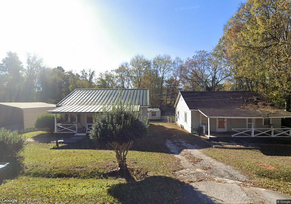
600 Poplar St West Point, GA 31833
Estimated Value: $91,000 - $114,000
2
Beds
1
Bath
1,096
Sq Ft
$94/Sq Ft
Est. Value
About This Home
This home is located at 600 Poplar St, West Point, GA 31833 and is currently estimated at $103,166, approximately $94 per square foot. 600 Poplar St is a home located in Troup County with nearby schools including West Point Elementary School, Long Cane Elementary School, and Berta Weathersbee Elementary School.
Ownership History
Date
Name
Owned For
Owner Type
Purchase Details
Closed on
May 2, 2025
Sold by
Harmon Thomas Eugene
Bought by
Corrilo Tristen
Current Estimated Value
Home Financials for this Owner
Home Financials are based on the most recent Mortgage that was taken out on this home.
Original Mortgage
$89,910
Outstanding Balance
$89,831
Interest Rate
6.64%
Mortgage Type
New Conventional
Estimated Equity
$13,335
Purchase Details
Closed on
Jan 1, 1973
Purchase Details
Closed on
Jan 1, 1936
Create a Home Valuation Report for This Property
The Home Valuation Report is an in-depth analysis detailing your home's value as well as a comparison with similar homes in the area
Home Values in the Area
Average Home Value in this Area
Purchase History
| Date | Buyer | Sale Price | Title Company |
|---|---|---|---|
| Corrilo Tristen | $99,900 | -- | |
| -- | -- | -- | |
| Harmon Thomas Eugene | -- | -- | |
| -- | -- | -- |
Source: Public Records
Mortgage History
| Date | Status | Borrower | Loan Amount |
|---|---|---|---|
| Open | Corrilo Tristen | $89,910 |
Source: Public Records
Tax History Compared to Growth
Tax History
| Year | Tax Paid | Tax Assessment Tax Assessment Total Assessment is a certain percentage of the fair market value that is determined by local assessors to be the total taxable value of land and additions on the property. | Land | Improvement |
|---|---|---|---|---|
| 2024 | $646 | $35,720 | $1,600 | $34,120 |
| 2023 | $96 | $37,280 | $1,600 | $35,680 |
| 2022 | $362 | $35,280 | $1,600 | $33,680 |
| 2021 | $266 | $29,800 | $1,600 | $28,200 |
| 2020 | $598 | $29,800 | $1,600 | $28,200 |
| 2019 | $423 | $24,000 | $1,600 | $22,400 |
| 2018 | $905 | $22,960 | $1,600 | $21,360 |
| 2017 | $392 | $22,960 | $1,600 | $21,360 |
Source: Public Records
Map
Nearby Homes
- 508 Pine St
- 1903 Ridgewood Dr
- 0 Ga Highway 0116 Unit 10619139
- 1505 Wisteria Dr
- 0 Sunset Dr Unit 10451831
- 1008 E 12th St
- 106 Sunset Dr
- 0 Arrowhead Dr Unit 10451860
- 713 Avenue H
- 1410 Roper Ave
- 1314 4th Ave
- 509 Cleveland St
- 804 E 6th St
- 311 E 4th St
- 712 4th Ave
- 210 N 14th St
- 111 Tudor Way
- 8035 County Road 289
- 112 Hillcrest Rd
- 107 Garden Walk
- 604 Poplar St
- 0 Poplar St Unit 7027644
- 0 Poplar St Unit 8195867
- 0 Poplar St
- 1712 Spruce St
- 608 Poplar St
- 609 Poplar St
- 611 Poplar St
- 1710 Spruce St
- 0 Spruce St Unit 8624982
- 0 Spruce St Unit 7612301
- 0 Spruce St Unit 3000495
- 0 Spruce St
- 1802 Spruce St
- 1706 Spruce St
- 614 Poplar St
- 1707 Spruce St
- 1704 Spruce St
- 1705 Spruce St
- 1702 Fir St