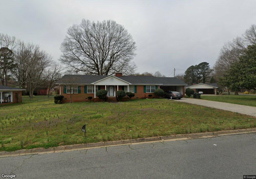
600 Roberts St Monroe, NC 28112
Estimated Value: $321,787 - $381,000
3
Beds
2
Baths
1,914
Sq Ft
$182/Sq Ft
Est. Value
About This Home
This home is located at 600 Roberts St, Monroe, NC 28112 and is currently estimated at $347,947, approximately $181 per square foot. 600 Roberts St is a home located in Union County with nearby schools including Walter Bickett Elementary School, Monroe Middle School, and Monroe High School.
Ownership History
Date
Name
Owned For
Owner Type
Purchase Details
Closed on
Apr 22, 1998
Sold by
Engel Nancy K and Engel Robert W
Bought by
Mintz David and Mintz Katherine
Current Estimated Value
Home Financials for this Owner
Home Financials are based on the most recent Mortgage that was taken out on this home.
Original Mortgage
$81,900
Outstanding Balance
$21,103
Interest Rate
11.99%
Estimated Equity
$326,844
Create a Home Valuation Report for This Property
The Home Valuation Report is an in-depth analysis detailing your home's value as well as a comparison with similar homes in the area
Purchase History
| Date | Buyer | Sale Price | Title Company |
|---|---|---|---|
| Mintz David | $91,000 | -- |
Source: Public Records
Mortgage History
| Date | Status | Borrower | Loan Amount |
|---|---|---|---|
| Open | Mintz David | $81,900 |
Source: Public Records
Tax History
| Year | Tax Paid | Tax Assessment Tax Assessment Total Assessment is a certain percentage of the fair market value that is determined by local assessors to be the total taxable value of land and additions on the property. | Land | Improvement |
|---|---|---|---|---|
| 2025 | $2,811 | $321,500 | $0 | $0 |
| 2024 | $2,092 | $191,800 | $15,300 | $176,500 |
| 2023 | $2,092 | $191,800 | $15,300 | $176,500 |
| 2022 | $2,092 | $191,800 | $15,300 | $176,500 |
| 2021 | $2,092 | $191,800 | $15,300 | $176,500 |
| 2020 | $1,451 | $107,690 | $17,090 | $90,600 |
| 2019 | $1,451 | $107,690 | $17,090 | $90,600 |
| 2018 | $664 | $107,690 | $17,090 | $90,600 |
| 2017 | $1,473 | $107,700 | $17,100 | $90,600 |
| 2016 | $1,457 | $107,690 | $17,090 | $90,600 |
| 2015 | $836 | $107,690 | $17,090 | $90,600 |
| 2014 | $1,530 | $125,380 | $20,720 | $104,660 |
Source: Public Records
Map
Nearby Homes
- 1100 Lucille Ave
- 1003 Oak Hill Dr Unit 24
- 114 S Branch St
- 1103 W Franklin St
- 925 Southridge Dr
- 1104 Oak Hill Dr
- 903 W Franklin St
- 1562 Secrest Commons Dr
- 1611 Secrest Commons Dr
- 1605 Secrest Commons Dr
- 1554 Secrest Commons Dr
- 1601 Secrest Commons Dr
- 1550 Secrest Commons Dr
- 1563 Secrest Commons Dr
- 1546 Secrest Commons Dr
- 1559 Secrest Commons Dr
- 1555 Secrest Commons Dr
- 415 Magnolia Dr
- 302 N Johnson St
- 1531 Secrest Commons Dr
- 602 Roberts St
- 1203 Sycamore St
- 507 S Westover Dr
- 604 Roberts St
- 601 S Westover Dr
- 503 S Westover Dr
- 601 Roberts St
- 1200 Sycamore St
- 1202 Sycamore St
- 603 S Westover Dr
- 1108 Sycamore St
- 501 S Westover Dr
- 1204 Sycamore St
- 605 Roberts St
- 1106 Sycamore St
- 1200 Virginia Ave
- 1202 Virginia Ave
- 1206 Sycamore St
- 1204 Virginia Ave
- 1300 Georgia Ave
Your Personal Tour Guide
Ask me questions while you tour the home.