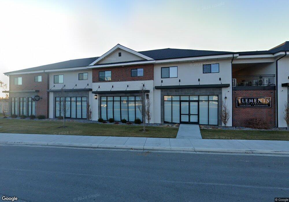
600 S Main St Springville, UT 84663
Estimated Value: $311,000
4
Beds
3
Baths
3,588
Sq Ft
$87/Sq Ft
Est. Value
About This Home
This home is located at 600 S Main St, Springville, UT 84663 and is currently priced at $311,000, approximately $86 per square foot. 600 S Main St is a home located in Utah County with nearby schools including Meadow Brook Elementary School, Springville Junior High School, and Springville High School.
Ownership History
Date
Name
Owned For
Owner Type
Purchase Details
Closed on
Sep 28, 2017
Sold by
Tyler Jessica M
Bought by
Foxridge Development Of Springville Llc
Current Estimated Value
Purchase Details
Closed on
Oct 31, 2016
Sold by
Schulz Mildred Price
Bought by
Schulz Mildred Price and Luke Anita Lynn
Purchase Details
Closed on
Feb 24, 2000
Sold by
Schulz Ralph F and Schulz Mildred P
Bought by
Schulz Mildred Price and Schulz Ralph Fred
Create a Home Valuation Report for This Property
The Home Valuation Report is an in-depth analysis detailing your home's value as well as a comparison with similar homes in the area
Home Values in the Area
Average Home Value in this Area
Purchase History
| Date | Buyer | Sale Price | Title Company |
|---|---|---|---|
| Foxridge Development Of Springville Llc | -- | Us Title Ins Agency | |
| Schulz Mildred Price | -- | None Available | |
| Schulz Mildred Price | -- | -- |
Source: Public Records
Tax History Compared to Growth
Tax History
| Year | Tax Paid | Tax Assessment Tax Assessment Total Assessment is a certain percentage of the fair market value that is determined by local assessors to be the total taxable value of land and additions on the property. | Land | Improvement |
|---|---|---|---|---|
| 2020 | $0 | $0 | $0 | $0 |
| 2019 | $962 | $81,900 | $81,900 | $0 |
| 2018 | $1,698 | $250,600 | $77,600 | $173,000 |
| 2017 | $1,670 | $130,955 | $0 | $0 |
| 2016 | $1,435 | $110,275 | $0 | $0 |
| 2015 | $390 | $98,725 | $0 | $0 |
| 2014 | $730 | $98,725 | $0 | $0 |
Source: Public Records
Map
Nearby Homes
- 67 W 600 S Unit B204
- 64 W 600 S Unit C205
- 670 S Main St Unit 1-4
- 675 S 100 W Unit A305
- 618 S 100 W Unit 302
- 864 S State Rd Unit 167
- 866 S State Rd Unit 168
- 872 S State Rd Unit 169
- 678 S 300 E
- 1768 W 300 S Unit D
- 337 E 600 S
- 511 S 300 E Unit 2
- 550 S 400 W
- 293 S 450 W Unit B
- 445 Swenson Ave
- 629 E 800 St S
- 626 E 800 St S
- 579 E 800 St S
- 607 E 800 St S
- 311 W Center St
- 67 W 600 S Unit B203
- 67 W 600 S Unit B104
- 67 W 600 S
- 64 W 600 S Unit 204
- 64 W 600 S Unit 302
- 670 S Main St
- 675 S 100 W Unit A208
- 675 S 100 W Unit A206
- 675 S 100 W Unit A209
- 675 S 100 W Unit A210
- 675 S 100 W Unit 110
- 675 S 100 W
- 675 S 100 W Unit A309
- 604 S Main
- 394 S State Rd Unit 56
- 618 S 100 W E208
- 618 S 100 W Unit D205
- 618 S 100 W Unit 101
- 618 S 100 W Unit D204
- 618 S 100 W