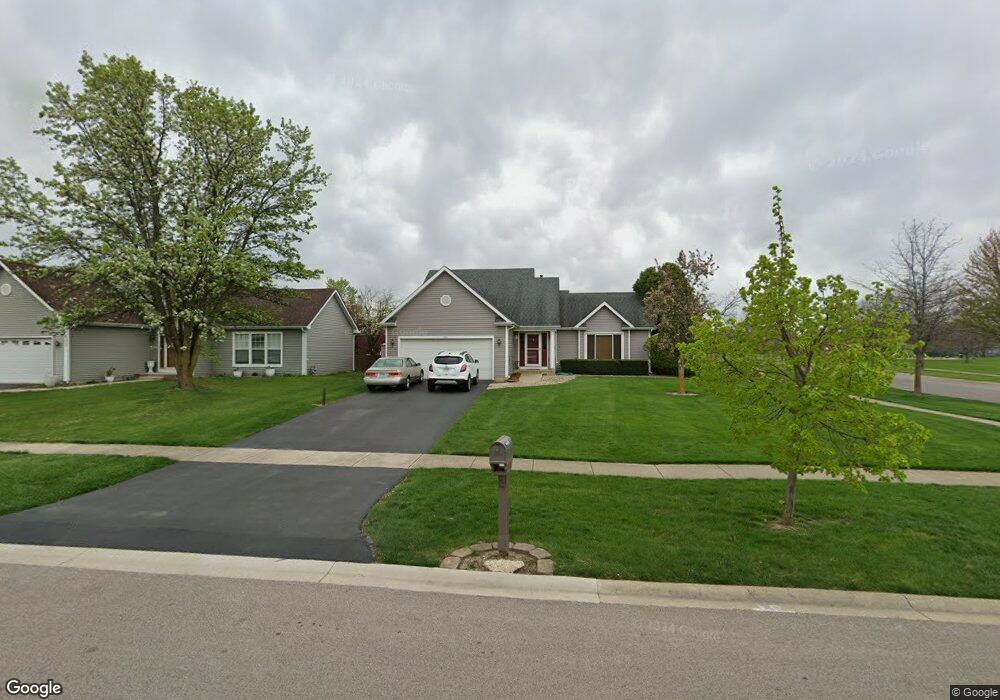
600 Terry Ln North Aurora, IL 60542
Estimated Value: $381,678 - $465,000
3
Beds
--
Bath
1,942
Sq Ft
$221/Sq Ft
Est. Value
About This Home
This home is located at 600 Terry Ln, North Aurora, IL 60542 and is currently estimated at $428,420, approximately $220 per square foot. 600 Terry Ln is a home located in Kane County with nearby schools including Schneider Elementary School, Herget Middle School, and West Aurora High School.
Ownership History
Date
Name
Owned For
Owner Type
Purchase Details
Closed on
Jul 27, 1994
Sold by
West Suburban Bank
Bought by
Braun Robert J and Braun Christine M
Current Estimated Value
Home Financials for this Owner
Home Financials are based on the most recent Mortgage that was taken out on this home.
Original Mortgage
$117,600
Interest Rate
8.62%
Mortgage Type
Purchase Money Mortgage
Create a Home Valuation Report for This Property
The Home Valuation Report is an in-depth analysis detailing your home's value as well as a comparison with similar homes in the area
Home Values in the Area
Average Home Value in this Area
Purchase History
| Date | Buyer | Sale Price | Title Company |
|---|---|---|---|
| Braun Robert J | $98,000 | Chicago Title Insurance Co |
Source: Public Records
Mortgage History
| Date | Status | Borrower | Loan Amount |
|---|---|---|---|
| Closed | Braun Robert J | $117,600 |
Source: Public Records
Tax History
| Year | Tax Paid | Tax Assessment Tax Assessment Total Assessment is a certain percentage of the fair market value that is determined by local assessors to be the total taxable value of land and additions on the property. | Land | Improvement |
|---|---|---|---|---|
| 2024 | $8,700 | $123,741 | $23,479 | $100,262 |
| 2023 | $8,487 | $112,308 | $21,310 | $90,998 |
| 2022 | $7,261 | $93,868 | $19,916 | $73,952 |
| 2021 | $7,059 | $89,025 | $18,888 | $70,137 |
| 2020 | $7,034 | $87,314 | $18,525 | $68,789 |
| 2019 | $7,111 | $84,223 | $17,869 | $66,354 |
| 2018 | $7,051 | $81,014 | $17,188 | $63,826 |
| 2017 | $7,000 | $78,342 | $16,621 | $61,721 |
| 2016 | $6,985 | $76,060 | $16,137 | $59,923 |
| 2015 | -- | $74,329 | $15,770 | $58,559 |
| 2014 | -- | $71,990 | $15,274 | $56,716 |
| 2013 | -- | $74,329 | $18,720 | $55,609 |
Source: Public Records
Map
Nearby Homes
- 769 Chesterfield Ln
- 446 Chesterfield Ln Unit 2
- 200 Linn Ct Unit D
- 242 Sussex Ln
- 218 Sussex Ct
- 608 Spyglass Ct
- 621 Doral Ln
- 113 April Ln
- 104 Briar Ln
- 948 Darwin St
- 1318 Fairfield Way Unit 2
- 239 Durham St
- 3020 Abbey Cir
- 3075 Mesa Ln
- Marianne Plan at Abbey Meadows - Traditional Townhomes
- Amherst Plan at Abbey Meadows - Urban Townhomes
- Charlotte Plan at Abbey Meadows - Traditional Townhomes
- 3018 Abbey Cir
- Chelsea Plan at Abbey Meadows - Urban Townhomes
- 3026 Abbey Cir