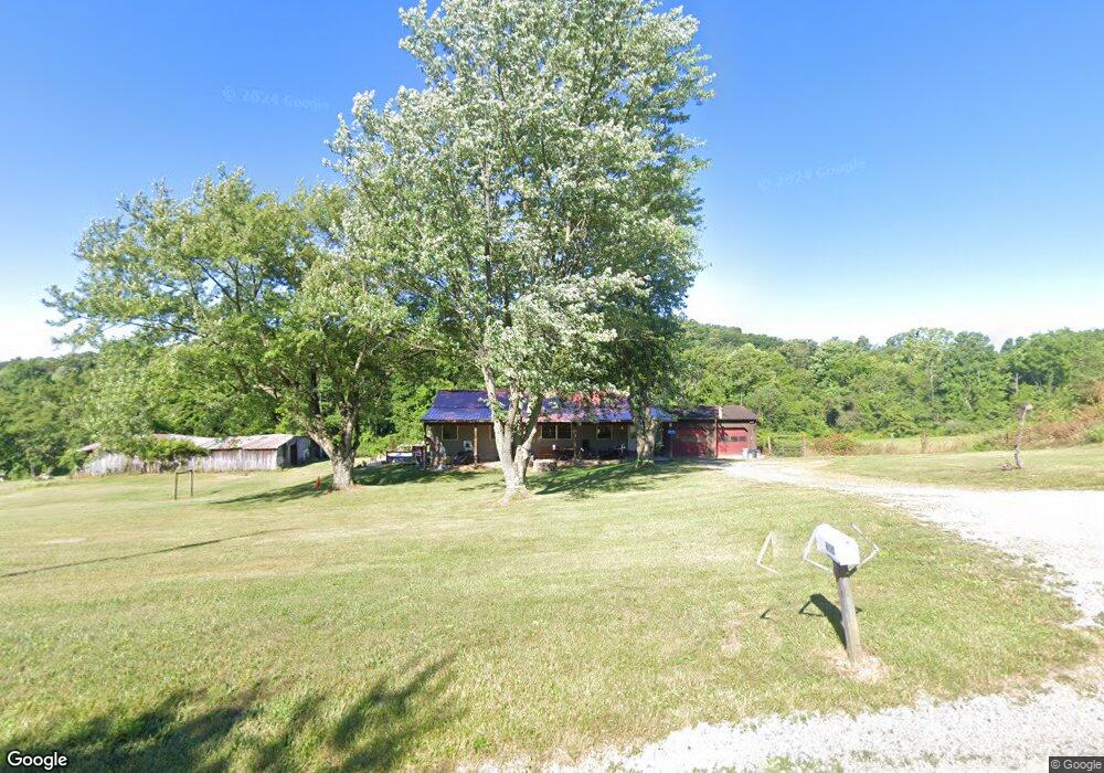
600 Thornton Spung Rd Kingston, OH 45644
Estimated Value: $242,000 - $623,315
3
Beds
2
Baths
1,300
Sq Ft
$304/Sq Ft
Est. Value
About This Home
This home is located at 600 Thornton Spung Rd, Kingston, OH 45644 and is currently estimated at $394,579, approximately $303 per square foot. 600 Thornton Spung Rd is a home with nearby schools including Zane Trace Elementary School, Zane Trace Middle School, and Zane Trace High School.
Ownership History
Date
Name
Owned For
Owner Type
Purchase Details
Closed on
Mar 25, 2005
Sold by
American Residential Equities Xxxx Llc
Bought by
Sunderland Amy
Current Estimated Value
Home Financials for this Owner
Home Financials are based on the most recent Mortgage that was taken out on this home.
Original Mortgage
$79,110
Interest Rate
5.71%
Mortgage Type
New Conventional
Create a Home Valuation Report for This Property
The Home Valuation Report is an in-depth analysis detailing your home's value as well as a comparison with similar homes in the area
Home Values in the Area
Average Home Value in this Area
Purchase History
| Date | Buyer | Sale Price | Title Company |
|---|---|---|---|
| Sunderland Amy | $87,900 | Accutitle Agency Inc |
Source: Public Records
Mortgage History
| Date | Status | Borrower | Loan Amount |
|---|---|---|---|
| Previous Owner | Sunderland Amy | $79,110 |
Source: Public Records
Tax History Compared to Growth
Tax History
| Year | Tax Paid | Tax Assessment Tax Assessment Total Assessment is a certain percentage of the fair market value that is determined by local assessors to be the total taxable value of land and additions on the property. | Land | Improvement |
|---|---|---|---|---|
| 2024 | $5,902 | $156,870 | $17,370 | $139,500 |
| 2023 | $5,902 | $156,870 | $17,370 | $139,500 |
| 2022 | $6,023 | $156,870 | $17,370 | $139,500 |
| 2021 | $4,437 | $117,080 | $14,110 | $102,970 |
| 2020 | $4,435 | $117,080 | $14,110 | $102,970 |
| 2019 | $4,439 | $117,080 | $14,110 | $102,970 |
| 2018 | $4,184 | $106,040 | $13,830 | $92,210 |
| 2017 | $4,275 | $88,790 | $13,830 | $74,960 |
| 2016 | $3,492 | $88,790 | $13,830 | $74,960 |
| 2015 | $3,078 | $77,960 | $13,830 | $64,130 |
| 2014 | $3,006 | $77,960 | $13,830 | $64,130 |
| 2013 | $2,216 | $57,190 | $13,830 | $43,360 |
Source: Public Records
Map
Nearby Homes
- 1086 Thornton-Spung Rd
- 2133 Dearth Rd
- 7135 Walnut Creek Rd
- 1959 Chapel Creek Rd
- 822 Chapel Creek Rd
- 6328 Ohio 180
- 13730 Marietta Rd
- 965 Graves Rd
- 2998 Dry Run Rd
- 0 Luckhart Rd
- 15437 Charleston Pike
- 527 Jadwin Rd
- 149 Brown Hollow Rd
- 277 Sulphur Spring Rd
- 213 Sulphur Spring Rd
- 3661 Lick Run Rd
- 23 Eastern Ave
- 7183 Kingston Adelphi Rd
- 7178 Ohio 159
- 24 2nd St
- 708 Thornton-Spung Rd
- 432 Thornton Spung Rd
- 432 Thornton-Spung Rd
- 750 Thornton Spung Rd
- 376 Thornton Spung Rd
- 375 Thornton Spung Rd
- 100 Thornton-Spung Rd
- 260 Thornton Spung Rd
- 277 Thornton Spung Rd
- 166 Thornton Spung Rd
- 2222 Dearth Rd
- 130 Thornton-Spung Rd
- 2580 Dearth Rd
- 2390 Dearth Rd
- 2390 Dearth Rd
- 54 Thornton Spung Rd
- 2099 Dearth Rd
- 1958 Dearth Rd
- 2393 Dearth Rd
- 2590 Dearth Rd