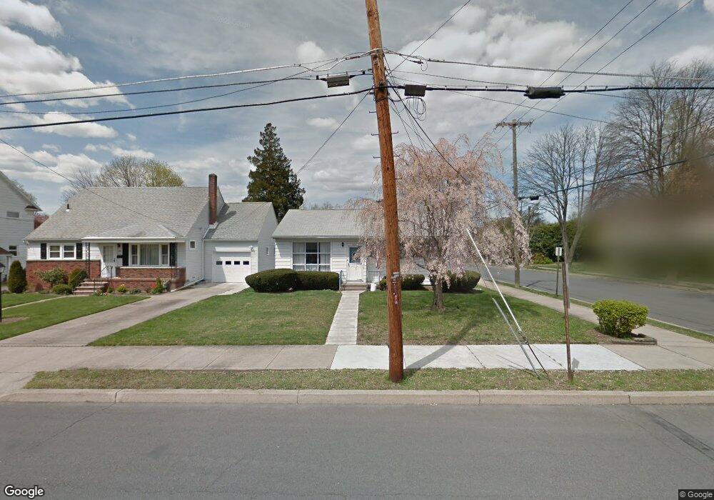
600 Tioga Ave Kingston, PA 18704
Estimated Value: $202,989 - $232,000
3
Beds
1
Bath
1,271
Sq Ft
$170/Sq Ft
Est. Value
About This Home
This home is located at 600 Tioga Ave, Kingston, PA 18704 and is currently estimated at $216,497, approximately $170 per square foot. 600 Tioga Ave is a home located in Luzerne County with nearby schools including Wyoming Valley West Senior High School, Good Shepherd Academy, and Wyoming Valley Kingston Montessori School.
Ownership History
Date
Name
Owned For
Owner Type
Purchase Details
Closed on
Jun 12, 2019
Sold by
Sabo Anthony J and Sabol Coleen N
Bought by
Rismondo Patrick C
Current Estimated Value
Home Financials for this Owner
Home Financials are based on the most recent Mortgage that was taken out on this home.
Original Mortgage
$105,925
Outstanding Balance
$92,945
Interest Rate
4%
Mortgage Type
New Conventional
Estimated Equity
$123,552
Purchase Details
Closed on
Apr 24, 1985
Bought by
Sabol Anthony J and Sabol Coleen
Create a Home Valuation Report for This Property
The Home Valuation Report is an in-depth analysis detailing your home's value as well as a comparison with similar homes in the area
Home Values in the Area
Average Home Value in this Area
Purchase History
| Date | Buyer | Sale Price | Title Company |
|---|---|---|---|
| Rismondo Patrick C | $111,500 | Lafayette Settlement Svcs | |
| Sabol Anthony J | $43,500 | -- |
Source: Public Records
Mortgage History
| Date | Status | Borrower | Loan Amount |
|---|---|---|---|
| Open | Rismondo Patrick C | $105,925 |
Source: Public Records
Tax History Compared to Growth
Tax History
| Year | Tax Paid | Tax Assessment Tax Assessment Total Assessment is a certain percentage of the fair market value that is determined by local assessors to be the total taxable value of land and additions on the property. | Land | Improvement |
|---|---|---|---|---|
| 2025 | $2,325 | $88,100 | $28,600 | $59,500 |
| 2024 | $2,325 | $88,100 | $28,600 | $59,500 |
| 2023 | $2,285 | $88,100 | $28,600 | $59,500 |
| 2022 | $2,269 | $88,100 | $28,600 | $59,500 |
| 2021 | $2,203 | $88,100 | $28,600 | $59,500 |
| 2020 | $2,203 | $88,100 | $28,600 | $59,500 |
| 2019 | $2,139 | $88,100 | $28,600 | $59,500 |
| 2018 | $2,072 | $88,100 | $28,600 | $59,500 |
| 2017 | $2,013 | $88,100 | $28,600 | $59,500 |
| 2016 | -- | $88,100 | $28,600 | $59,500 |
| 2015 | -- | $88,100 | $28,600 | $59,500 |
| 2014 | -- | $88,100 | $28,600 | $59,500 |
Source: Public Records
Map
Nearby Homes
- 308 E Dorrance St
- 667 Gibson Ave
- 216 Reynolds St
- 38 Hedge Place
- 153 N Gates Ave
- 100 N Loveland Ave
- 147 N Dawes Ave
- 59 N Loveland Ave
- 41 Church St
- 474 Chestnut Ave
- 92 2nd Ave
- 70 John St
- 1017 Rutter Ave
- 164 Welles St
- 127 Division St
- 477 N River St
- 81 Courtright Ave
- 452 River St
- 114 W Union St
- 37 S Dawes Ave
- 594 Tioga Ave
- 590 Tioga Ave
- 296 E Dorrance St
- 292 E Dorrance St
- 298 E Dorrance St
- 599 Meadowland Ave
- 595 Meadowland Ave
- 302 E Dorrance St
- 588 Tioga Ave
- 585 Tioga Ave
- 591 Meadowland Ave
- 611 Meadowland Ave
- 624 Tioga Ave
- 586 Tioga Ave
- 583 Meadowland Ave
- 573 Tioga Ave
- 304 E Dorrance St
- 630 Tioga Ave
- 581 Meadowland Ave
- 584 Tioga Ave