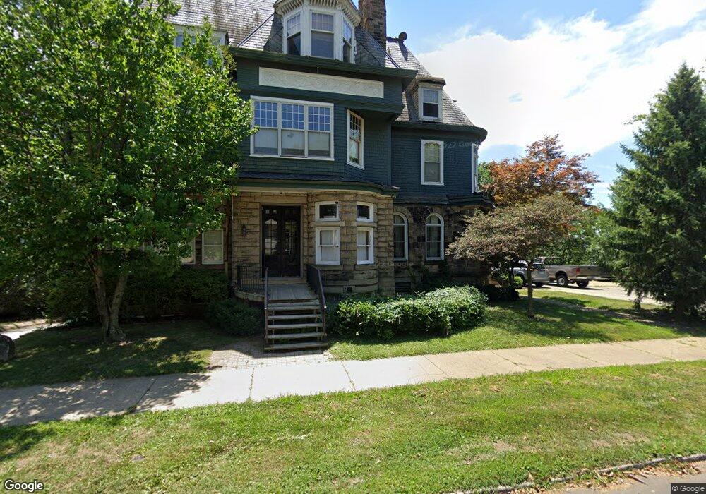
600 W High St Peoria, IL 61606
West Bluff NeighborhoodEstimated Value: $538,241
Studio
4
Baths
13,153
Sq Ft
$41/Sq Ft
Est. Value
About This Home
This home is located at 600 W High St, Peoria, IL 61606 and is currently estimated at $538,241, approximately $40 per square foot. 600 W High St is a home located in Peoria County with nearby schools including Peoria High School, Quest Charter School Academy, and St Mark School.
Ownership History
Date
Name
Owned For
Owner Type
Purchase Details
Closed on
Nov 1, 2023
Sold by
600 Properties Ltd
Bought by
Gtm Properties Llc
Current Estimated Value
Home Financials for this Owner
Home Financials are based on the most recent Mortgage that was taken out on this home.
Original Mortgage
$100,000
Outstanding Balance
$86,166
Interest Rate
6.5%
Mortgage Type
New Conventional
Estimated Equity
$452,075
Purchase Details
Closed on
Sep 26, 2000
Bought by
600 Properties Ltd
Create a Home Valuation Report for This Property
The Home Valuation Report is an in-depth analysis detailing your home's value as well as a comparison with similar homes in the area
Home Values in the Area
Average Home Value in this Area
Purchase History
| Date | Buyer | Sale Price | Title Company |
|---|---|---|---|
| Gtm Properties Llc | $515,000 | None Listed On Document | |
| 600 Properties Ltd | $450,000 | -- |
Source: Public Records
Mortgage History
| Date | Status | Borrower | Loan Amount |
|---|---|---|---|
| Open | Gtm Properties Llc | $100,000 |
Source: Public Records
Tax History
| Year | Tax Paid | Tax Assessment Tax Assessment Total Assessment is a certain percentage of the fair market value that is determined by local assessors to be the total taxable value of land and additions on the property. | Land | Improvement |
|---|---|---|---|---|
| 2024 | $13,703 | $151,500 | $12,220 | $139,280 |
| 2023 | $10,083 | $107,170 | $10,090 | $97,080 |
| 2022 | $9,147 | $94,830 | $6,350 | $88,480 |
| 2021 | $9,428 | $94,830 | $6,350 | $88,480 |
| 2020 | $9,502 | $94,830 | $6,350 | $88,480 |
| 2019 | $9,640 | $96,770 | $6,480 | $90,290 |
| 2018 | $9,423 | $96,750 | $6,480 | $90,270 |
| 2017 | $9,422 | $97,730 | $6,550 | $91,180 |
| 2016 | $9,159 | $97,730 | $6,550 | $91,180 |
| 2015 | $8,684 | $95,810 | $6,420 | $89,390 |
| 2014 | $8,581 | $94,340 | $6,260 | $88,080 |
| 2013 | -- | $94,340 | $6,260 | $88,080 |
Source: Public Records
Map
Nearby Homes
- 528 W High St
- 423 W High St
- 919 W Moss Ave
- 1212 N Sheridan Rd
- 1119 N Orange St
- 1219 N Sheridan Rd
- 911 W Russell St
- 501 W Columbia Terrace
- 400 W Armstrong Ave
- 515 W Armstrong Ave
- 1014 W 4th St
- 723 W Armstrong Ave
- 1328 N Broadway St
- 1409 North St
- 1402 N Broadway St
- 1404 N Broadway St
- 1113 W Columbia Terrace
- 125 SW Jefferson Ave Unit W11W
- 125 SW Jefferson Ave Unit W20NE(B)
- 125 SW Jefferson Ave Unit W5C
- 611 W High St Unit E
- 611 W High St Unit A
- 518 W High St
- 525 W High St
- 618 W High St Unit 204
- 612 W High St Unit 102
- 612 W High St
- 802 N Sheridan Rd
- 816 N Sheridan Rd
- 519 W High St
- 512 W High St
- 510 W High St
- 628 W High St
- 0 High St Unit PA1232435
- 511 W High St
- 902 N Sheridan Rd
- 504 W High St
- 708 W Moss Ave
- 708 W Moss Ave Unit 6
- 708 W Moss Ave Unit 5
Your Personal Tour Guide
Ask me questions while you tour the home.