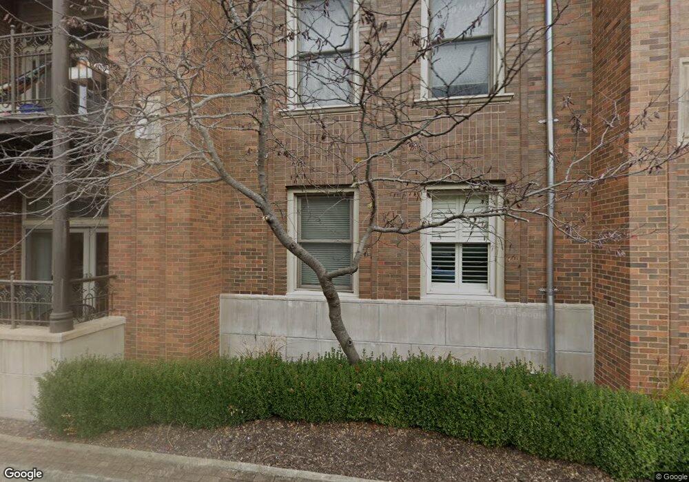
600 W Meadow St Fayetteville, AR 72701
Downtown Fayetteville NeighborhoodEstimated Value: $476,000 - $604,000
--
Bed
2
Baths
1,079
Sq Ft
$503/Sq Ft
Est. Value
About This Home
This home is located at 600 W Meadow St, Fayetteville, AR 72701 and is currently estimated at $543,229, approximately $503 per square foot. 600 W Meadow St is a home located in Washington County with nearby schools including Washington Elementary School, Owl Creek School, and Ramay Junior High School.
Ownership History
Date
Name
Owned For
Owner Type
Purchase Details
Closed on
Feb 28, 2017
Sold by
Bell Roben B and Bell Susan S
Bought by
Akr Condo Llc
Current Estimated Value
Home Financials for this Owner
Home Financials are based on the most recent Mortgage that was taken out on this home.
Original Mortgage
$215,900
Outstanding Balance
$178,203
Interest Rate
4.09%
Mortgage Type
Commercial
Estimated Equity
$365,026
Purchase Details
Closed on
Sep 30, 2014
Sold by
Ua Properties Llc
Bought by
Bell Robert B and Bell Susan S
Create a Home Valuation Report for This Property
The Home Valuation Report is an in-depth analysis detailing your home's value as well as a comparison with similar homes in the area
Home Values in the Area
Average Home Value in this Area
Purchase History
| Date | Buyer | Sale Price | Title Company |
|---|---|---|---|
| Akr Condo Llc | $268,000 | Lenders Title Co | |
| Bell Robert B | $237,000 | Waco Title Co |
Source: Public Records
Mortgage History
| Date | Status | Borrower | Loan Amount |
|---|---|---|---|
| Open | Akr Condo Llc | $215,900 |
Source: Public Records
Tax History Compared to Growth
Tax History
| Year | Tax Paid | Tax Assessment Tax Assessment Total Assessment is a certain percentage of the fair market value that is determined by local assessors to be the total taxable value of land and additions on the property. | Land | Improvement |
|---|---|---|---|---|
| 2025 | $4,213 | $86,500 | $0 | $0 |
| 2024 | $3,882 | $86,500 | $0 | $0 |
| 2023 | $3,618 | $86,500 | $0 | $0 |
| 2022 | $3,289 | $56,760 | $0 | $56,760 |
| 2021 | $3,193 | $56,760 | $0 | $0 |
| 2020 | $2,927 | $56,760 | $0 | $0 |
| 2019 | $2,661 | $45,920 | $0 | $45,920 |
| 2018 | $2,661 | $45,920 | $0 | $0 |
| 2017 | $273 | $45,920 | $0 | $0 |
| 2016 | $2,638 | $45,920 | $0 | $0 |
| 2015 | $2,514 | $45,920 | $0 | $0 |
| 2014 | $2,274 | $42,310 | $0 | $42,310 |
Source: Public Records
Map
Nearby Homes
- 221 N Locust Ave Unit 6
- 401 W Watson St Unit 507
- 401 W Watson St Unit 509
- 401 W Watson St Unit 601 and 604
- 401 W Watson St Unit 408
- 211 N Church Ave Unit 1
- 315 N Rollston Ave Unit 206
- 340 N Campbell Ave Unit 11
- 104 S Duncan Ave
- 229 N Block Ave
- 207 W Lafayette St
- 205 W Lafayette St
- 315 S School Ave
- 220 W Lafayette St
- 366 S Hill Ave
- 358 S Hill Ave
- 106 W Boles St
- 372 S Hill Ave
- 390 W 5th St Unit 2
- 0 W Mount Nord St
- 600 W Meadow St
- 600 W Meadow St
- 600 W Meadow St Unit 307
- 600 W Meadow St
- 600 W Meadow St
- 600 W Meadow St
- 600 W Meadow St
- 600 W Meadow St
- 600 W Meadow St
- 600 W Meadow St
- 600 W Meadow St
- 600 W Meadow St
- 600 W Meadow St
- 600 W Meadow St
- 600 W Meadow St Unit 204
- 600 W Meadow St
- 600 W Meadow St
- 600 W Meadow St
- 600 W Meadow St
- 600 W Meadow St