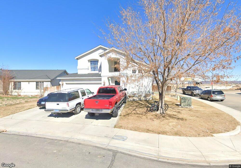
600 Westwinds Dr Dayton, NV 89403
Estimated Value: $398,000 - $443,000
3
Beds
3
Baths
1,946
Sq Ft
$219/Sq Ft
Est. Value
About This Home
This home is located at 600 Westwinds Dr, Dayton, NV 89403 and is currently estimated at $425,965, approximately $218 per square foot. 600 Westwinds Dr is a home located in Lyon County with nearby schools including Sutro Elementary School, Dayton Intermediate School, and Dayton High School.
Ownership History
Date
Name
Owned For
Owner Type
Purchase Details
Closed on
Aug 29, 2025
Sold by
Lopez Uriel Avila and Avila Rafaela P
Bought by
Lopez Uriel Avila and Avila Rafaela P
Current Estimated Value
Home Financials for this Owner
Home Financials are based on the most recent Mortgage that was taken out on this home.
Original Mortgage
$73,500
Outstanding Balance
$73,405
Interest Rate
6.74%
Mortgage Type
Credit Line Revolving
Estimated Equity
$352,560
Create a Home Valuation Report for This Property
The Home Valuation Report is an in-depth analysis detailing your home's value as well as a comparison with similar homes in the area
Home Values in the Area
Average Home Value in this Area
Purchase History
| Date | Buyer | Sale Price | Title Company |
|---|---|---|---|
| Lopez Uriel Avila | -- | Radian Settlement Services Inc |
Source: Public Records
Mortgage History
| Date | Status | Borrower | Loan Amount |
|---|---|---|---|
| Open | Lopez Uriel Avila | $73,500 |
Source: Public Records
Tax History Compared to Growth
Tax History
| Year | Tax Paid | Tax Assessment Tax Assessment Total Assessment is a certain percentage of the fair market value that is determined by local assessors to be the total taxable value of land and additions on the property. | Land | Improvement |
|---|---|---|---|---|
| 2025 | $1,975 | $124,474 | $56,000 | $68,474 |
| 2024 | $1,917 | $125,012 | $56,000 | $69,012 |
| 2023 | $1,917 | $120,799 | $56,000 | $64,799 |
| 2022 | $1,538 | $103,773 | $43,785 | $59,988 |
| 2021 | $1,493 | $102,413 | $43,785 | $58,628 |
| 2020 | $1,449 | $99,765 | $43,790 | $55,975 |
| 2019 | $1,407 | $83,217 | $29,190 | $54,027 |
| 2018 | $1,366 | $73,792 | $21,000 | $52,792 |
| 2017 | $1,326 | $66,823 | $14,000 | $52,823 |
| 2016 | $1,292 | $56,443 | $7,880 | $48,563 |
| 2015 | $1,290 | $43,685 | $7,880 | $35,805 |
| 2014 | $1,252 | $39,218 | $7,880 | $31,338 |
Source: Public Records
Map
Nearby Homes
- 608 Westwinds Dr
- 720 Butte Creek Rd
- 707 Butte Creek Rd
- 7013 Highway 50
- 856 Schell Creek Dr
- 7044 Highway 50 Unit 80
- 539 Rawe Peak Dr
- 7017 Highway 50 Unit 61
- 298 Monte Cristo Dr
- The Gem Plan at Gold Sky
- The Haven Plan at Gold Sky
- The Cottonwood Plan at Oro Hills at Traditions
- The Highland Plan at Oro Hills at Traditions
- The La Mesa Plan at Oro Hills at Traditions
- The Eden Plan at Gold Sky
- 832 Camp Station Dr Unit Homesite 312
- 818 Camp Station Dr Unit Homesite 357
- 828 Camp Station Dr Unit Homesite 310
- 827 Camp Station Dr Unit Homesite 309
- 820 Camp Station Dr
- 602 Westwinds Dr
- 604 Westwinds Dr
- 254 Corral Dr
- 259 Corral Dr
- 257 Corral Dr
- 261 Corral Dr
- 606 Westwinds Dr
- 264 Corral Dr
- 255 Corral Dr
- 252 Corral Dr
- 253 Corral Dr
- 523 Windchase Dr
- 265 Corral Dr
- 251 Corral Dr
- 521 Windchase Dr
- 610 Westwinds Dr
- 248 Corral Dr
- 249 Corral Dr
- 611 Westwinds Dr
- 612 Westwinds Dr