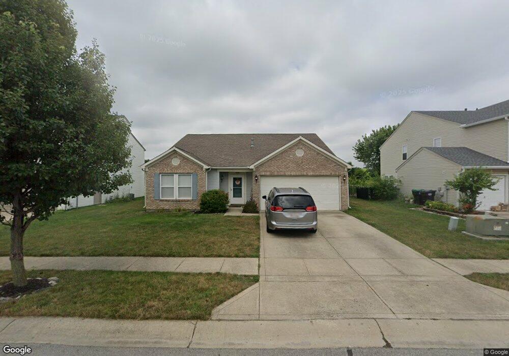
600 Wheat Field Ln Whiteland, IN 46184
Estimated Value: $270,000 - $310,000
3
Beds
2
Baths
1,821
Sq Ft
$154/Sq Ft
Est. Value
About This Home
This home is located at 600 Wheat Field Ln, Whiteland, IN 46184 and is currently estimated at $280,825, approximately $154 per square foot. 600 Wheat Field Ln is a home located in Johnson County with nearby schools including Break-O-Day Elementary School, Clark-Pleasant Middle School, and Whiteland Community High School.
Ownership History
Date
Name
Owned For
Owner Type
Purchase Details
Closed on
Dec 18, 2020
Sold by
Phoenix Adam N
Bought by
Phoenix Adam N and Phoenix Holly R
Current Estimated Value
Purchase Details
Closed on
May 1, 2009
Sold by
Wheat Gene S
Bought by
Phoenix Adam M
Home Financials for this Owner
Home Financials are based on the most recent Mortgage that was taken out on this home.
Original Mortgage
$94,751
Interest Rate
4.83%
Create a Home Valuation Report for This Property
The Home Valuation Report is an in-depth analysis detailing your home's value as well as a comparison with similar homes in the area
Home Values in the Area
Average Home Value in this Area
Purchase History
| Date | Buyer | Sale Price | Title Company |
|---|---|---|---|
| Phoenix Adam N | -- | Security Title | |
| Phoenix Adam M | -- | None Available |
Source: Public Records
Mortgage History
| Date | Status | Borrower | Loan Amount |
|---|---|---|---|
| Previous Owner | Phoenix Adam M | $94,751 |
Source: Public Records
Tax History Compared to Growth
Tax History
| Year | Tax Paid | Tax Assessment Tax Assessment Total Assessment is a certain percentage of the fair market value that is determined by local assessors to be the total taxable value of land and additions on the property. | Land | Improvement |
|---|---|---|---|---|
| 2025 | $2,441 | $245,200 | $56,000 | $189,200 |
| 2024 | $2,441 | $233,800 | $56,000 | $177,800 |
| 2023 | $2,410 | $231,600 | $56,000 | $175,600 |
| 2022 | $2,072 | $199,400 | $29,900 | $169,500 |
| 2021 | $1,759 | $169,200 | $29,900 | $139,300 |
| 2020 | $1,568 | $150,300 | $29,900 | $120,400 |
| 2019 | $1,442 | $138,500 | $29,900 | $108,600 |
| 2018 | $1,355 | $131,200 | $15,700 | $115,500 |
| 2017 | $1,345 | $134,500 | $15,700 | $118,800 |
| 2016 | $1,293 | $129,300 | $15,700 | $113,600 |
| 2014 | $1,159 | $114,800 | $19,100 | $95,700 |
| 2013 | $1,159 | $115,900 | $19,100 | $96,800 |
Source: Public Records
Map
Nearby Homes
- 638 Harvest Meadow Way
- 1041 Mount Olive Rd
- 57 Oakden Ct
- 53 Oakden Ct
- 559 Genisis Dr
- 6540 N Us Highway 31
- 50 Meadow Creek Blvd
- 256 Bittersweet Dr
- 190 Tracy Ridge Blvd
- 123 Country Wood Dr
- 143 Tracy Ridge Blvd
- 111 Meadow Creek Blvd
- 106 Tracy Ridge Blvd
- Aspen Plan at Lincoln Place
- Broadmoor Plan at Lincoln Place
- Ironwood Plan at Lincoln Place
- 2777 Herndon Ln
- 1119 Chateaugay Ct
- 42 Grassyway Ct
- 250 Southlane Dr
- 590 Wheat Field Ln
- 610 Wheat Field Ln
- 580 Wheat Field Ln
- 642 Holly Rose Way
- 620 Wheat Field Ln
- 570 Wheat Field Ln
- 641 Wheat Field Ln
- 652 Holly Rose Way
- 643 Holly Rose Way
- 630 Wheat Field Ln
- 560 Wheat Field Ln
- 653 Holly Rose Way
- 662 Holly Rose Way
- 651 Wheat Field Ln
- 663 Holly Rose Way
- 644 Country Gate Dr
- 640 Wheat Field Ln
- 672 Holly Rose Way
- 661 Wheat Field Ln
- 654 Country Gate Dr