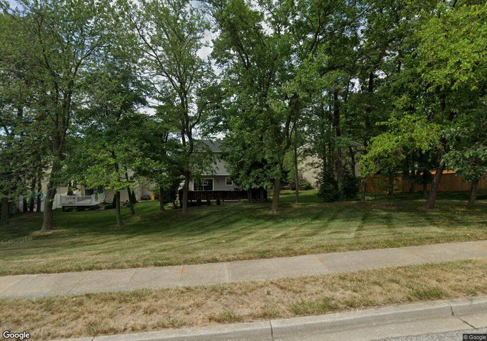
600 Wheat Mill Ct E Millersville, MD 21108
Estimated Value: $376,996 - $452,000
--
Bed
2
Baths
1,364
Sq Ft
$296/Sq Ft
Est. Value
About This Home
This home is located at 600 Wheat Mill Ct E, Millersville, MD 21108 and is currently estimated at $403,999, approximately $296 per square foot. 600 Wheat Mill Ct E is a home located in Anne Arundel County with nearby schools including Rippling Woods Elementary School, Old Mill Middle School North, and Old Mill High School.
Ownership History
Date
Name
Owned For
Owner Type
Purchase Details
Closed on
Aug 18, 1998
Sold by
First Union National Bank
Bought by
Duarte Jose L
Current Estimated Value
Purchase Details
Closed on
Jun 25, 1998
Sold by
Hatfield Elinda D
Bought by
First Union National Bank
Purchase Details
Closed on
Dec 6, 1991
Sold by
Balaban Deborah
Bought by
Hatfield Elinda D
Home Financials for this Owner
Home Financials are based on the most recent Mortgage that was taken out on this home.
Original Mortgage
$111,000
Interest Rate
8.62%
Create a Home Valuation Report for This Property
The Home Valuation Report is an in-depth analysis detailing your home's value as well as a comparison with similar homes in the area
Home Values in the Area
Average Home Value in this Area
Purchase History
| Date | Buyer | Sale Price | Title Company |
|---|---|---|---|
| Duarte Jose L | $136,000 | -- | |
| First Union National Bank | $130,000 | -- | |
| Hatfield Elinda D | $131,000 | -- |
Source: Public Records
Mortgage History
| Date | Status | Borrower | Loan Amount |
|---|---|---|---|
| Previous Owner | Hatfield Elinda D | $111,000 | |
| Closed | Duarte Jose L | -- |
Source: Public Records
Tax History Compared to Growth
Tax History
| Year | Tax Paid | Tax Assessment Tax Assessment Total Assessment is a certain percentage of the fair market value that is determined by local assessors to be the total taxable value of land and additions on the property. | Land | Improvement |
|---|---|---|---|---|
| 2025 | $3,524 | $337,067 | -- | -- |
| 2024 | $3,524 | $319,400 | $160,000 | $159,400 |
| 2023 | $3,429 | $311,967 | $0 | $0 |
| 2022 | $3,202 | $304,533 | $0 | $0 |
| 2021 | $6,290 | $297,100 | $145,000 | $152,100 |
| 2020 | $3,049 | $289,633 | $0 | $0 |
| 2019 | $2,996 | $282,167 | $0 | $0 |
| 2018 | $2,785 | $274,700 | $110,000 | $164,700 |
| 2017 | $2,816 | $264,733 | $0 | $0 |
| 2016 | -- | $254,767 | $0 | $0 |
| 2015 | -- | $244,800 | $0 | $0 |
| 2014 | -- | $244,800 | $0 | $0 |
Source: Public Records
Map
Nearby Homes
- 584 Brightview Dr
- 2 Arrowleaf Dr
- 565 Belmawr Place
- 630 Cross Chase Dr
- 2664 Carver Rd
- 15 Tremont Dr
- 8421 Norwood Dr
- 529 Chalet Dr W
- 8011 Horicon Point Dr
- 525 Old Mill Rd
- 601 Brightwood Rd
- 8218 Sherbrooke Ct
- 518 Kenora Dr
- 8253 Rupert Rd S
- 8251 Rupert Rd S
- 931 Oakdale Cir
- 8224 Bernard Dr N
- 8297 Kippis Rd
- 494 Kenilworth Ct
- 401 Green Grove Ct
- 601 Wheat Mill Ct E
- 602 Wheat Mill Ct E
- 604 Wheat Mill Ct E
- 603 Wheat Mill Ct E
- 605 Wheat Mill Ct E
- 606 Wheat Mill Ct E
- 607 Wheat Mill Ct E
- 609 Wheat Mill Ct E
- 705 Kenora Ct
- 608 Wheat Mill Ct E
- 611 Wheat Mill Ct E
- 601 Stone Wheel Ct E
- 702 Kenora Ct
- 603 Stone Wheel Ct E
- 605 Stone Wheel Ct E
- 607 Stone Wheel Ct E
- 610 Wheat Mill Ct E
- 609 Stone Wheel Ct E
- 613 Wheat Mill Ct E
- 703 Kenora Ct