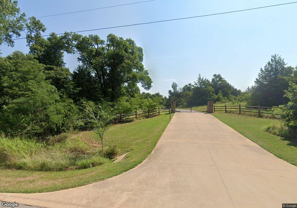
6000 N Post Rd Arcadia, OK 73007
East Edmond NeighborhoodEstimated Value: $928,000 - $2,251,659
3
Beds
5
Baths
4,232
Sq Ft
$349/Sq Ft
Est. Value
About This Home
This home is located at 6000 N Post Rd, Arcadia, OK 73007 and is currently estimated at $1,477,553, approximately $349 per square foot. 6000 N Post Rd is a home with nearby schools including Centennial Elementary School, Central Middle School, and Memorial High School.
Ownership History
Date
Name
Owned For
Owner Type
Purchase Details
Closed on
Oct 4, 2014
Sold by
Whitaker David Rayn and Whitaker Lindsey Anne
Bought by
Whitaker David Ryan and Whitaker Lindsey Anne
Current Estimated Value
Purchase Details
Closed on
Jun 8, 2007
Sold by
Yukon Land Development Llc
Bought by
Graham Todd C and Graham Kathleen H
Purchase Details
Closed on
Feb 16, 2007
Sold by
Yukon Land Development Llc
Bought by
Graham Todd C and The Todd C Graham Revocable Trust
Home Financials for this Owner
Home Financials are based on the most recent Mortgage that was taken out on this home.
Original Mortgage
$300,000
Interest Rate
6.17%
Mortgage Type
Purchase Money Mortgage
Purchase Details
Closed on
Apr 19, 2006
Sold by
Faller Wanda Gail
Bought by
Yukon Land Development Llc
Create a Home Valuation Report for This Property
The Home Valuation Report is an in-depth analysis detailing your home's value as well as a comparison with similar homes in the area
Home Values in the Area
Average Home Value in this Area
Purchase History
| Date | Buyer | Sale Price | Title Company |
|---|---|---|---|
| Whitaker David Ryan | -- | None Available | |
| Graham Todd C | $160,000 | American Guaranty Title Co | |
| Graham Todd C | $1,440,000 | American Guaranty Title Co | |
| Yukon Land Development Llc | $1,789,000 | Capitol Abstract & Title |
Source: Public Records
Mortgage History
| Date | Status | Borrower | Loan Amount |
|---|---|---|---|
| Previous Owner | Graham Todd C | $300,000 |
Source: Public Records
Tax History
| Year | Tax Paid | Tax Assessment Tax Assessment Total Assessment is a certain percentage of the fair market value that is determined by local assessors to be the total taxable value of land and additions on the property. | Land | Improvement |
|---|---|---|---|---|
| 2025 | $10,914 | $108,062 | $10,675 | $97,387 |
| 2023 | $10,513 | $101,858 | $1,862 | $99,996 |
| 2022 | $10,243 | $98,892 | $1,817 | $97,075 |
| 2021 | $9,895 | $96,011 | $1,843 | $94,168 |
| 2020 | $9,720 | $93,215 | $1,772 | $91,443 |
| 2019 | $9,479 | $90,500 | $1,607 | $88,893 |
| 2018 | $9,255 | $87,865 | $0 | $0 |
| 2017 | $8,764 | $83,628 | $1,900 | $81,728 |
| 2016 | $8,488 | $81,193 | $3,814 | $77,379 |
| 2015 | $7,881 | $74,555 | $1,289 | $73,266 |
| 2014 | $7,641 | $72,383 | $7 | $72,376 |
Source: Public Records
Map
Nearby Homes
- 0 Deep Fork Township 40 Acres
- 24534 N Post Rd
- 11868 E Sorghum Mill Rd Unit Lot 1
- 0 E Sorghum Mill Rd
- 2 E Sorghum Mill Rd
- 24801 N Post Rd
- 6005 Lindberg Ln
- 5103 Forum Cir
- 9009 Stark St
- 5408 Braavos Way
- 9001 Stark St
- 9017 Stark St
- 5332 Braavos Way
- 5324 Braavos Way
- 5316 Braavos Way
- 9008 Grey Joy Rd
- 9000 Grey Joy Rd
- 5216 Braavos Way
- 5116 N Westminster Rd
- 5208 Braavos Way
- 10501 E Sorghum Mill Rd
- 9950 Skyridge
- 9900 Skyridge
- 9901 Skyridge
- 9800 Skyridge
- 10109 Quo Vadis Dr
- 10007 Quo Vadis Dr
- 12000 E Sorghum Mill Rd
- 10201 Quo Vadis Dr
- 10405 Quo Vadis Dr
- 9905 Quo Vadis Dr
- 10457 Quo Vadis Dr
- 9904 Quo Vadis Dr
- 10509 Quo Vadis Dr
- 9801 Skyridge
- 9529 E Sorghum Mill Rd
- 5309 Quo Vadis Cir
- 9750 Skyridge
- 10457 Quo Vadis Dr
- 5308 Quo Vadis Cir
Your Personal Tour Guide
Ask me questions while you tour the home.