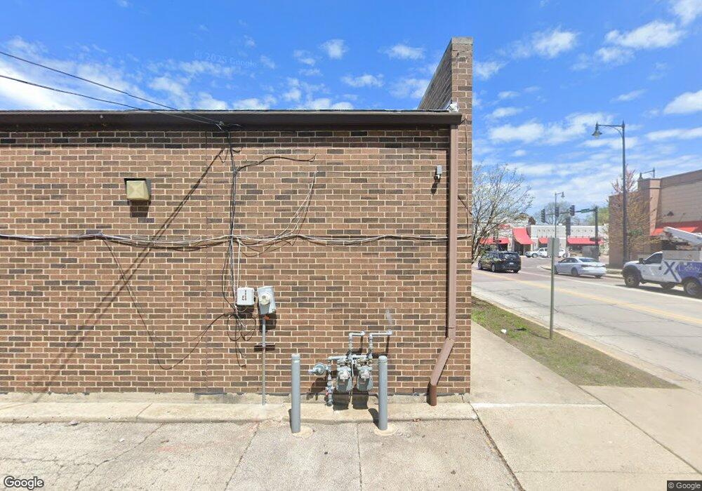
6001 Dempster St Morton Grove, IL 60053
--
Bed
--
Bath
--
Sq Ft
0.27
Acres
About This Home
This home is located at 6001 Dempster St, Morton Grove, IL 60053. 6001 Dempster St is a home located in Cook County with nearby schools including Park View Elementary School, Niles West High School, and St. Paul of the Cross School.
Ownership History
Date
Name
Owned For
Owner Type
Purchase Details
Closed on
Nov 28, 2009
Sold by
Yoo Sandra Hong and Yoo Albert
Bought by
Illinois Department Of Transportation
Purchase Details
Closed on
Jul 7, 2004
Sold by
Yoo Sandra Hong
Bought by
Yoo Sandra Hong and Yoo Albert
Purchase Details
Closed on
May 17, 2004
Sold by
Yoo Il Yong
Bought by
Yoo Sandra Hong
Create a Home Valuation Report for This Property
The Home Valuation Report is an in-depth analysis detailing your home's value as well as a comparison with similar homes in the area
Home Values in the Area
Average Home Value in this Area
Purchase History
| Date | Buyer | Sale Price | Title Company |
|---|---|---|---|
| Illinois Department Of Transportation | $24,500 | None Available | |
| Yoo Sandra Hong | -- | -- | |
| Yoo Sandra Hong | -- | Chicago Title Insurance Comp |
Source: Public Records
Tax History Compared to Growth
Tax History
| Year | Tax Paid | Tax Assessment Tax Assessment Total Assessment is a certain percentage of the fair market value that is determined by local assessors to be the total taxable value of land and additions on the property. | Land | Improvement |
|---|---|---|---|---|
| 2024 | $29,087 | $100,703 | $69,408 | $31,295 |
| 2023 | $27,714 | $100,703 | $69,408 | $31,295 |
| 2022 | $27,714 | $100,703 | $69,408 | $31,295 |
| 2021 | $31,028 | $96,735 | $69,408 | $27,327 |
| 2020 | $30,203 | $96,735 | $69,408 | $27,327 |
| 2019 | $27,085 | $96,735 | $69,408 | $27,327 |
| 2018 | $27,757 | $87,965 | $41,934 | $46,031 |
| 2017 | $27,964 | $87,965 | $41,934 | $46,031 |
| 2016 | $26,360 | $87,965 | $41,934 | $46,031 |
| 2015 | $27,790 | $86,237 | $39,042 | $47,195 |
| 2014 | $27,761 | $86,237 | $39,042 | $47,195 |
| 2013 | $27,126 | $86,237 | $39,042 | $47,195 |
Source: Public Records
Map
Nearby Homes
- 8849 Mcvicker Ave
- 8836 Mansfield Ave
- 6020 Lincoln Ave Unit 407
- 8841 Menard Ave
- 6035 Lincoln Ave
- 6330 Hennings Ct
- 6332 Hennings Ct
- 8712 Ferris Ave
- 6334 Hennings Ct
- 6336 Hennings Ct
- 6338 Hennings Ct
- 6340 Hennings Ct
- 6342 Hennings Ct
- 6344 Hennings Ct
- 6346 Hennings Ct
- 6140 Elm St
- 6330 Lincoln Ave Unit 2E
- 6330 Lincoln Ave Unit 2A
- 8918 Parkside Ave
- 6166 Mayfair St Unit 33714
- 6003 W Dempster St
- 6003 Dempster St
- 6005 Dempster St
- 6007 Dempster St
- 6009 Dempster St
- 6015 W Dempster St
- 6000 W Dempster St
- 6017 Dempster St Unit 6017
- 6021 W Dempster St
- 6023 W Dempster St
- 6027 W Dempster St
- 8728 Austin Ave
- 6021 Dempster St
- 6012 Carol Ave
- 8727 Austin Ave
- 6016 Carol Ave
- 8725 Austin Ave
- 6067 Dempster St
- 6041 Dempster St
- 6020 Dempster St